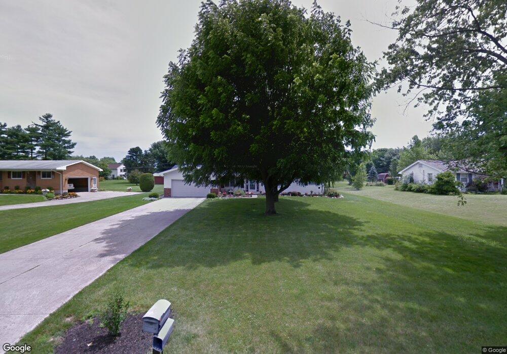
11888 Hillcrest Dr Kenton, OH 43326
Estimated Value: $191,000 - $242,000
3
Beds
2
Baths
1,484
Sq Ft
$144/Sq Ft
Est. Value
About This Home
This home is located at 11888 Hillcrest Dr, Kenton, OH 43326 and is currently estimated at $213,501, approximately $143 per square foot. 11888 Hillcrest Dr is a home located in Hardin County with nearby schools including Kenton Elementary School, Kenton Middle School, and Kenton High School.
Ownership History
Date
Name
Owned For
Owner Type
Purchase Details
Closed on
Jun 7, 2019
Sold by
Gensheimer Keith P and Gensheimer Susan E
Bought by
Pees Roberta A
Current Estimated Value
Home Financials for this Owner
Home Financials are based on the most recent Mortgage that was taken out on this home.
Original Mortgage
$108,800
Outstanding Balance
$95,662
Interest Rate
4.1%
Mortgage Type
Unknown
Estimated Equity
$117,839
Purchase Details
Closed on
Dec 26, 1990
Create a Home Valuation Report for This Property
The Home Valuation Report is an in-depth analysis detailing your home's value as well as a comparison with similar homes in the area
Home Values in the Area
Average Home Value in this Area
Purchase History
| Date | Buyer | Sale Price | Title Company |
|---|---|---|---|
| Pees Roberta A | $148,500 | None Available | |
| -- | -- | -- |
Source: Public Records
Mortgage History
| Date | Status | Borrower | Loan Amount |
|---|---|---|---|
| Open | Pees Roberta A | $108,800 |
Source: Public Records
Tax History Compared to Growth
Tax History
| Year | Tax Paid | Tax Assessment Tax Assessment Total Assessment is a certain percentage of the fair market value that is determined by local assessors to be the total taxable value of land and additions on the property. | Land | Improvement |
|---|---|---|---|---|
| 2024 | $2,256 | $53,350 | $8,860 | $44,490 |
| 2023 | $2,256 | $53,350 | $8,860 | $44,490 |
| 2022 | $1,787 | $39,260 | $6,510 | $32,750 |
| 2021 | $1,793 | $39,260 | $6,510 | $32,750 |
| 2020 | $1,551 | $39,260 | $6,510 | $32,750 |
| 2019 | $1,254 | $32,960 | $6,200 | $26,760 |
| 2018 | $1,253 | $32,960 | $6,200 | $26,760 |
| 2017 | $1,221 | $32,960 | $6,200 | $26,760 |
| 2016 | $1,208 | $33,940 | $5,660 | $28,280 |
| 2015 | $1,184 | $33,940 | $5,660 | $28,280 |
| 2014 | $1,207 | $33,940 | $5,660 | $28,280 |
| 2013 | $1,360 | $36,570 | $5,660 | $30,910 |
Source: Public Records
Map
Nearby Homes
- 11896 Parklane Dr
- 920 Cooper St
- 1 C Ct
- 115 Scioto St
- 79 Broadway St
- 39 Grape St
- 530 E Franklin St
- 324 Stone Hedge Ln Unit 324
- 513 E Franklin St
- 509 E Carrol St
- 510 Decatur St
- 508 Decatur St
- 104 Oak Ln Unit 15
- 0 N Barron St
- 503 Jennings St
- 121 S High St
- 777 Maydoll Dr
- 0 Gilmore St
- 416 E Eliza St
- 416 N Cherry St
- 11868 Hillcrest Dr
- 11908 Hillcrest Dr
- 11887 Hillcrest Dr
- 11926 Hillcrest Dr
- 11844 Hillcrest Dr
- 11873 Parklane Dr
- 11851 Parklane Dr
- 11907 Hillcrest Dr
- 11831 Parklane Dr
- 11826 Hillcrest Dr
- 11913 Parklane Dr
- 11843 Hillcrest Dr
- 11815 Parklane Dr
- 11949 Hillcrest Dr
- 11825 Hillcrest Dr
- 11806 Hillcrest Dr
- 11976 Hillcrest Dr