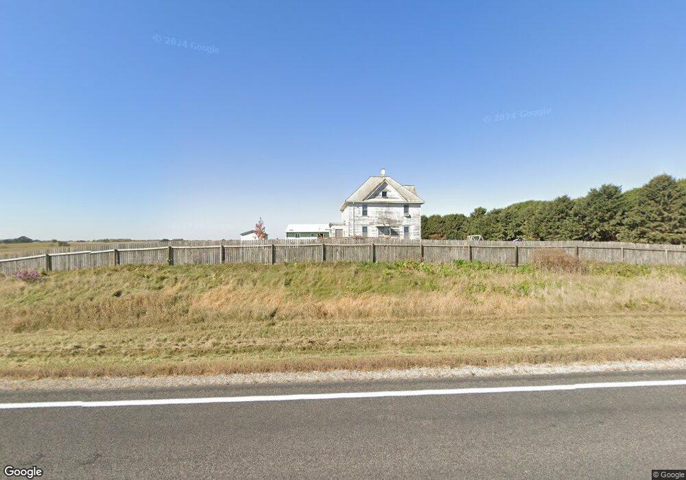
11891 State Highway 139 Harmony, MN 55939
Estimated Value: $207,000 - $286,000
3
Beds
1
Bath
1,968
Sq Ft
$130/Sq Ft
Est. Value
About This Home
This home is located at 11891 State Highway 139, Harmony, MN 55939 and is currently estimated at $256,629, approximately $130 per square foot. 11891 State Highway 139 is a home located in Fillmore County with nearby schools including Fillmore Central Elementary School and Fillmore Central Senior High School.
Ownership History
Date
Name
Owned For
Owner Type
Purchase Details
Closed on
Feb 2, 2016
Sold by
Clark Kevin Kevin
Current Estimated Value
Home Financials for this Owner
Home Financials are based on the most recent Mortgage that was taken out on this home.
Original Mortgage
$78,400
Outstanding Balance
$61,193
Interest Rate
3.81%
Mortgage Type
Commercial
Estimated Equity
$195,436
Create a Home Valuation Report for This Property
The Home Valuation Report is an in-depth analysis detailing your home's value as well as a comparison with similar homes in the area
Purchase History
| Date | Buyer | Sale Price | Title Company |
|---|---|---|---|
| -- | $1,669,200 | -- | |
| Swartzentruber Mose D | -- | None Available |
Source: Public Records
Mortgage History
| Date | Status | Borrower | Loan Amount |
|---|---|---|---|
| Open | Swartzentruber Mose D | $78,400 | |
| Open | -- | $1,669,160 |
Source: Public Records
Tax History
| Year | Tax Paid | Tax Assessment Tax Assessment Total Assessment is a certain percentage of the fair market value that is determined by local assessors to be the total taxable value of land and additions on the property. | Land | Improvement |
|---|---|---|---|---|
| 2025 | $1,184 | $242,200 | $87,500 | $154,700 |
| 2024 | $1,184 | $185,800 | $58,300 | $127,500 |
| 2023 | $986 | $185,800 | $58,300 | $127,500 |
| 2022 | $986 | $159,800 | $87,400 | $72,400 |
| 2021 | $986 | $140,600 | $68,200 | $72,400 |
| 2020 | $902 | $140,600 | $68,200 | $72,400 |
| 2019 | $906 | $129,300 | $68,200 | $61,100 |
| 2018 | $796 | $129,300 | $68,200 | $61,100 |
| 2017 | -- | $116,400 | $61,700 | $54,700 |
| 2016 | $6,918 | $143,500 | $55,800 | $87,700 |
| 2015 | $5,362 | $1,177,900 | $1,104,600 | $73,300 |
| 2014 | $5,362 | $1,197,800 | $1,118,900 | $78,900 |
| 2013 | $5,362 | $840,700 | $757,200 | $83,500 |
Source: Public Records
Map
Nearby Homes
- 347 5th Ave SE Unit A
- TBD ( Lot 6, Blk 2) 3rd Ave SE
- TBD (Lot 4 Blk2 ) 3rd Ave SE
- TBD ( Lot 2, Blk 2) 3rd Ave SE
- TBD (Lot 3, Blk 1) 3rd Ave SE
- TBD ( Lot 4, Blk 1) 3rd Ave SE
- TBD ( Lot 3, Blk 2) 3rd Ave SE
- TBD ( Lot 1, Blk 1) 3rd Ave SE
- 160 Wickett Dr NW
- 12549 County 21
- 202 N Ash St
- 15514 341st Ave
- 16325 351st Ave
- 39871 Highway 44
- 39871 State Hwy 44
- 13020 241st Ave
- 20376 County 19
- 20376 County Highway 19
- 15158 241st Ave
- 327 Parkside Dr SE
Your Personal Tour Guide
Ask me questions while you tour the home.