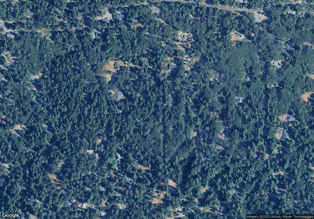
11894 Miwok Path Nevada City, CA 95959
Estimated Value: $576,510 - $628,000
4
Beds
2
Baths
2,025
Sq Ft
$298/Sq Ft
Est. Value
About This Home
This home is located at 11894 Miwok Path, Nevada City, CA 95959 and is currently estimated at $603,628, approximately $298 per square foot. 11894 Miwok Path is a home located in Nevada County with nearby schools including Deer Creek Elementary School, Seven Hills Intermediate School, and Twin Ridges Home Study Charter School.
Ownership History
Date
Name
Owned For
Owner Type
Purchase Details
Closed on
Nov 4, 2009
Sold by
Hajduk Donna and Hajduk Harry
Bought by
Totoonchie Peter and Totoonchie Ashley
Current Estimated Value
Home Financials for this Owner
Home Financials are based on the most recent Mortgage that was taken out on this home.
Original Mortgage
$205,000
Outstanding Balance
$132,689
Interest Rate
4.83%
Mortgage Type
New Conventional
Estimated Equity
$470,939
Purchase Details
Closed on
Mar 26, 2008
Sold by
Johnston Patricia A B
Bought by
Totoonchie Ashley and Totoonchie Peter
Home Financials for this Owner
Home Financials are based on the most recent Mortgage that was taken out on this home.
Original Mortgage
$201,250
Interest Rate
6.04%
Mortgage Type
Purchase Money Mortgage
Purchase Details
Closed on
Aug 14, 2007
Sold by
Johnston Douglas B and Johnston Patricia A
Bought by
Johnston Douglas B and Johnston Patricia A
Create a Home Valuation Report for This Property
The Home Valuation Report is an in-depth analysis detailing your home's value as well as a comparison with similar homes in the area
Home Values in the Area
Average Home Value in this Area
Purchase History
| Date | Buyer | Sale Price | Title Company |
|---|---|---|---|
| Totoonchie Peter | -- | Placer Title Company | |
| Totoonchie Ashley | $402,500 | Placer Title Company | |
| Johnston Douglas B | -- | None Available |
Source: Public Records
Mortgage History
| Date | Status | Borrower | Loan Amount |
|---|---|---|---|
| Open | Totoonchie Peter | $205,000 | |
| Previous Owner | Totoonchie Ashley | $201,250 |
Source: Public Records
Tax History Compared to Growth
Tax History
| Year | Tax Paid | Tax Assessment Tax Assessment Total Assessment is a certain percentage of the fair market value that is determined by local assessors to be the total taxable value of land and additions on the property. | Land | Improvement |
|---|---|---|---|---|
| 2025 | $5,650 | $533,578 | $197,022 | $336,556 |
| 2024 | $5,538 | $523,116 | $193,159 | $329,957 |
| 2023 | $5,538 | $512,860 | $189,372 | $323,488 |
| 2022 | $5,423 | $502,805 | $185,659 | $317,146 |
| 2021 | $5,281 | $492,947 | $182,019 | $310,928 |
| 2020 | $5,268 | $487,893 | $180,153 | $307,740 |
| 2019 | $5,159 | $478,327 | $176,621 | $301,706 |
| 2018 | $5,057 | $468,949 | $173,158 | $295,791 |
| 2017 | $4,362 | $403,000 | $144,000 | $259,000 |
| 2016 | $3,902 | $366,000 | $131,000 | $235,000 |
| 2015 | $3,788 | $355,000 | $127,000 | $228,000 |
| 2014 | -- | $335,000 | $120,000 | $215,000 |
Source: Public Records
Map
Nearby Homes
- 12259 Echo Dr
- 12426 Cascade Way
- 12786 Mayflower Dr
- 13015 Lee Ln
- 13027 Robin Rd
- 13274 Idaho Maryland Rd
- 13685 Idaho Maryland Rd
- 12952 Woodpecker Way
- 13722 Saint Ledger Forest Rd
- 13100 Banner Lava Cap Rd
- 11732 Forest View Dr
- 11854 Tree Top Cir
- 13117 Madrone Forest Dr
- 11464 Banner Lava Cap Rd
- 11551 Forest View Dr
- 12900 Madrone Forest Dr
- 11382 Cour Royal
- 10950 Banning Way
- 11582 Winter Moon Way
- 11945 Rocker Rd
