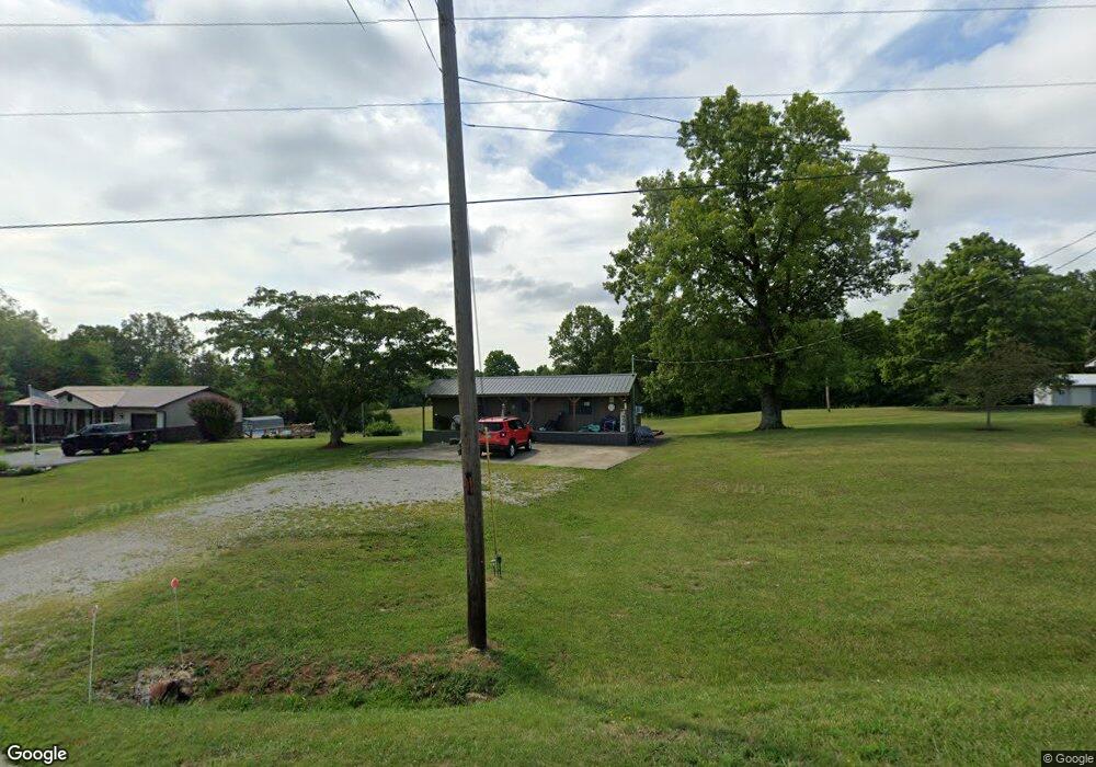
11899 State Route 125 West Union, OH 45693
Estimated Value: $89,000 - $169,000
2
Beds
1
Bath
400
Sq Ft
$336/Sq Ft
Est. Value
About This Home
This home is located at 11899 State Route 125, West Union, OH 45693 and is currently estimated at $134,275, approximately $335 per square foot. 11899 State Route 125 is a home located in Adams County with nearby schools including West Union Elementary School, West Union High School, and Adams County Christian School.
Ownership History
Date
Name
Owned For
Owner Type
Purchase Details
Closed on
Oct 2, 2001
Sold by
Jolly Troy A
Bought by
Jones Rick A
Current Estimated Value
Purchase Details
Closed on
Apr 10, 2000
Bought by
Jolly Troy A
Purchase Details
Closed on
Sep 23, 1999
Sold by
Evans Ruby Jean
Bought by
Grooms Enterprises Inc
Purchase Details
Closed on
Aug 6, 1999
Sold by
Griffin Jeffery W
Bought by
Evans Ruby Jean
Purchase Details
Closed on
Nov 25, 1998
Sold by
Pollard Regina M
Bought by
Griffin Jeffery W
Purchase Details
Closed on
Jan 1, 1990
Bought by
Pollard Regina M
Create a Home Valuation Report for This Property
The Home Valuation Report is an in-depth analysis detailing your home's value as well as a comparison with similar homes in the area
Home Values in the Area
Average Home Value in this Area
Purchase History
| Date | Buyer | Sale Price | Title Company |
|---|---|---|---|
| Jones Rick A | $76,200 | -- | |
| Jolly Troy A | $66,300 | -- | |
| Grooms Enterprises Inc | $61,500 | -- | |
| Evans Ruby Jean | $56,000 | -- | |
| Griffin Jeffery W | $33,000 | -- | |
| Pollard Regina M | -- | -- |
Source: Public Records
Tax History Compared to Growth
Tax History
| Year | Tax Paid | Tax Assessment Tax Assessment Total Assessment is a certain percentage of the fair market value that is determined by local assessors to be the total taxable value of land and additions on the property. | Land | Improvement |
|---|---|---|---|---|
| 2024 | $772 | $22,750 | $3,850 | $18,900 |
| 2023 | $161 | $4,620 | $3,850 | $770 |
| 2022 | $157 | $3,610 | $2,870 | $740 |
| 2021 | $139 | $3,610 | $2,870 | $740 |
| 2020 | $136 | $3,610 | $2,870 | $740 |
| 2019 | $136 | $3,610 | $2,870 | $740 |
| 2018 | $129 | $3,500 | $2,870 | $630 |
| 2017 | $127 | $3,500 | $2,870 | $630 |
| 2016 | $63 | $3,500 | $2,870 | $630 |
| 2015 | $119 | $3,400 | $2,660 | $740 |
| 2014 | $119 | $3,400 | $2,660 | $740 |
Source: Public Records
Map
Nearby Homes
- 410 Owens Rd
- 108 Chirsdon Ln
- 1478 Robinson Hollow Rd
- 13465 State Route 41
- 216 Kurt St
- 260 Randy St
- 120 Randy St
- 405 Lookout View
- 1082 E Walnut St
- 292 Larry Baynum Rd
- 598 Ohio 348
- 3188 Ohio 125
- 1011 Hafer Rd
- 175 Hidden Acres Dr
- 725 E Walnut St
- 1064 Hafer Rd
- 618 Maple St
- 601 E Main St
- 917 Logans Ln
- 526 E Walnut St
- 11987 State Route 125
- 11875 State Route 125
- 11937 Ohio 125
- 11937 State Route 125
- 12055 State Route 125
- 4214 Poplar Ridge Rd
- 12035 State Route 125
- 12071 State Route 125
- 11659 State Route 125
- 11659 State Route 125
- 0 Cox Rd Unit 6658
- 4050 Poplar Ridge Rd
- 161 Cox Rd
- 4040 Poplar Ridge Rd
- 223 Cox Rd
- 12231 State Route 125
- 12231 State Route 125
- 191 Cox Rd
- 259 Cox Rd
- 157 Cox Rd