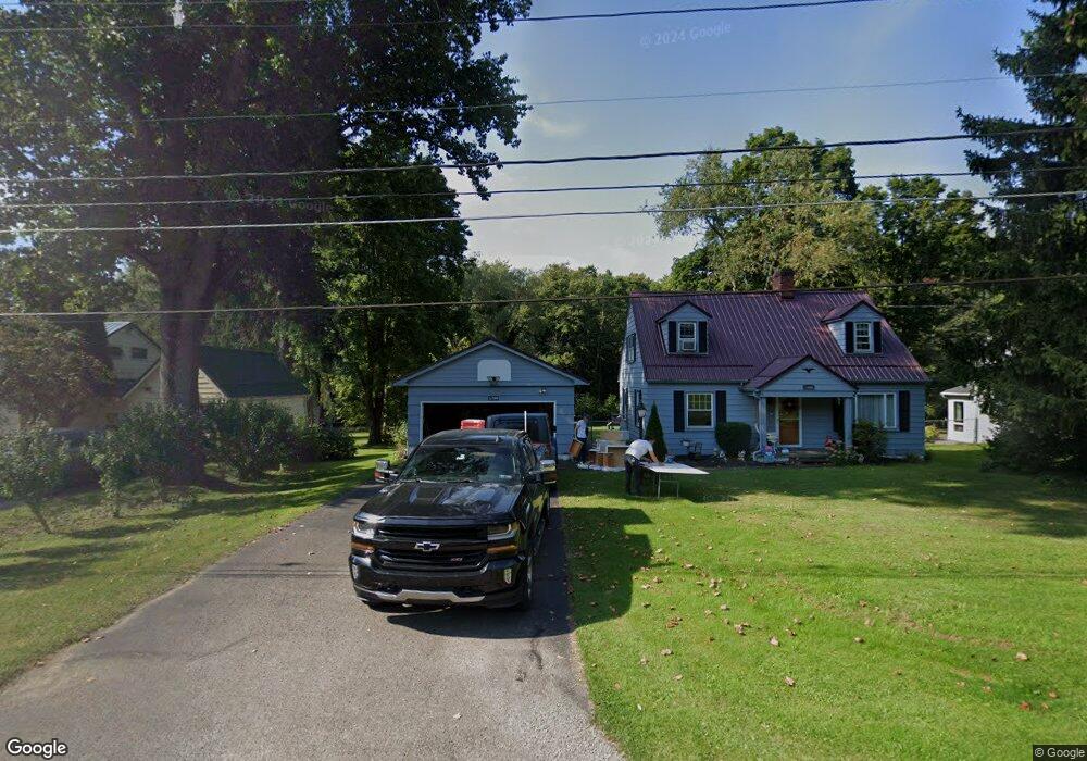
11899 Thurston Rd Meadville, PA 16335
Estimated Value: $149,000 - $181,000
2
Beds
2
Baths
1,100
Sq Ft
$150/Sq Ft
Est. Value
About This Home
This home is located at 11899 Thurston Rd, Meadville, PA 16335 and is currently estimated at $165,099, approximately $150 per square foot. 11899 Thurston Rd is a home located in Crawford County with nearby schools including Neason Hill Elementary School, Meadville Middle School, and Meadville Area Senior High School.
Ownership History
Date
Name
Owned For
Owner Type
Purchase Details
Closed on
May 30, 2019
Sold by
Risco Kerry S and Risco Carlos E
Bought by
Moyer Molly C
Current Estimated Value
Home Financials for this Owner
Home Financials are based on the most recent Mortgage that was taken out on this home.
Original Mortgage
$81,987
Outstanding Balance
$72,303
Interest Rate
4.25%
Mortgage Type
FHA
Estimated Equity
$92,796
Purchase Details
Closed on
Apr 27, 2011
Sold by
Griffith Rex D
Bought by
Risco Kerry S
Create a Home Valuation Report for This Property
The Home Valuation Report is an in-depth analysis detailing your home's value as well as a comparison with similar homes in the area
Home Values in the Area
Average Home Value in this Area
Purchase History
| Date | Buyer | Sale Price | Title Company |
|---|---|---|---|
| Moyer Molly C | $83,500 | Realty Settlement Inc | |
| Risco Kerry S | -- | None Available |
Source: Public Records
Mortgage History
| Date | Status | Borrower | Loan Amount |
|---|---|---|---|
| Open | Moyer Molly C | $81,987 |
Source: Public Records
Tax History Compared to Growth
Tax History
| Year | Tax Paid | Tax Assessment Tax Assessment Total Assessment is a certain percentage of the fair market value that is determined by local assessors to be the total taxable value of land and additions on the property. | Land | Improvement |
|---|---|---|---|---|
| 2025 | $805 | $29,700 | $4,050 | $25,650 |
| 2024 | $1,161 | $29,700 | $4,050 | $25,650 |
| 2023 | $1,191 | $29,700 | $4,050 | $25,650 |
| 2022 | $2,393 | $29,700 | $4,050 | $25,650 |
| 2021 | $2,338 | $29,700 | $4,050 | $25,650 |
| 2020 | $2,338 | $29,700 | $4,050 | $25,650 |
| 2019 | $2,338 | $29,700 | $4,050 | $25,650 |
| 2018 | $2,226 | $29,700 | $4,050 | $25,650 |
| 2017 | $2,203 | $29,700 | $4,050 | $25,650 |
| 2016 | $686 | $29,700 | $4,050 | $25,650 |
| 2015 | $686 | $29,700 | $4,050 | $25,650 |
| 2014 | -- | $29,700 | $4,050 | $25,650 |
Source: Public Records
Map
Nearby Homes
- 20899 Star Route
- 826 Irvin Ave
- 12336 Leslie Rd
- 802 Brawley Ave
- 970 S Morgan St
- 908 Fairview Ave
- 703-705 Chestnut St
- 685 Chestnut St
- 673 Washington St
- 626 Walnut St
- 21757 Star Route
- 712 State St
- 3214-024 Blooming Valley Rd
- 3210-72-6 Blooming Valley Rd
- 3210-072-6 Blooming Valley Rd
- 1003 Catherine St
- 537 Chestnut St
- 1000-1002 Catherine St
- 525 North St
- 12988 Raymond Dr
- 11907 Thurston Rd
- 11887 Thurston Rd
- 11879 Thurston Rd
- 11925 Thurston Rd
- 11928 Thurston Rd
- 11908 Thurston Rd
- 11863 Thurston Rd
- 11952 Thurston Rd
- 11892 Thurston Rd
- 11962 Thurston Rd
- 11945 Thurston Rd
- 11853 Thurston Rd
- 11972 Thurston Rd
- 11957 Thurston Rd
- 11874 Thurston Rd
- 11969 Thurston Rd
- 11933 Barclay Rd
- 11986 Thurston Rd
- 11890 Barclay Rd
- 11975 Thurston Rd