119 Aspen Trail Gunnison, CO 81230
Estimated Value: $461,812 - $696,000
4
Beds
2
Baths
1,590
Sq Ft
$371/Sq Ft
Est. Value
About This Home
This home is located at 119 Aspen Trail, Gunnison, CO 81230 and is currently estimated at $590,203, approximately $371 per square foot. 119 Aspen Trail is a home located in Gunnison County with nearby schools including Gunnison Elementary School, Gunnison Middle School, and Crested Butte Community School.
Ownership History
Date
Name
Owned For
Owner Type
Purchase Details
Closed on
Apr 28, 2005
Sold by
Cullis Noah Michael G and Cullis Kaydee L
Bought by
Merritt Gary L and Merritt Fawn E
Current Estimated Value
Home Financials for this Owner
Home Financials are based on the most recent Mortgage that was taken out on this home.
Original Mortgage
$113,000
Outstanding Balance
$59,636
Interest Rate
6.03%
Mortgage Type
New Conventional
Estimated Equity
$530,567
Purchase Details
Closed on
Jun 11, 2001
Sold by
Burkholder Harold R
Bought by
Cullis Noah Michael G
Purchase Details
Closed on
Aug 30, 1999
Sold by
Kirk Mueller Ins Agency Inc
Bought by
Burkholder Harold R
Purchase Details
Closed on
Jul 1, 1999
Sold by
Mueller Kirk A
Bought by
Mueller Kirk Insurance Agency Inc
Purchase Details
Closed on
Feb 1, 1994
Create a Home Valuation Report for This Property
The Home Valuation Report is an in-depth analysis detailing your home's value as well as a comparison with similar homes in the area
Home Values in the Area
Average Home Value in this Area
Purchase History
| Date | Buyer | Sale Price | Title Company |
|---|---|---|---|
| Merritt Gary L | $184,800 | None Available | |
| Cullis Noah Michael G | $48,000 | -- | |
| Burkholder Harold R | $45,000 | -- | |
| Mueller Kirk Insurance Agency Inc | $45,000 | -- | |
| -- | $25,000 | -- |
Source: Public Records
Mortgage History
| Date | Status | Borrower | Loan Amount |
|---|---|---|---|
| Open | Merritt Gary L | $113,000 |
Source: Public Records
Tax History Compared to Growth
Tax History
| Year | Tax Paid | Tax Assessment Tax Assessment Total Assessment is a certain percentage of the fair market value that is determined by local assessors to be the total taxable value of land and additions on the property. | Land | Improvement |
|---|---|---|---|---|
| 2024 | $1,451 | $31,190 | $11,420 | $19,770 |
| 2023 | $1,451 | $27,500 | $10,070 | $17,430 |
| 2022 | $1,490 | $24,650 | $3,890 | $20,760 |
| 2021 | $1,345 | $25,360 | $4,000 | $21,360 |
| 2020 | $1,336 | $23,790 | $3,520 | $20,270 |
| 2019 | $1,306 | $23,790 | $3,520 | $20,270 |
| 2018 | $803 | $14,150 | $2,590 | $11,560 |
| 2017 | $813 | $14,150 | $2,590 | $11,560 |
| 2016 | $930 | $16,290 | $3,190 | $13,100 |
Source: Public Records
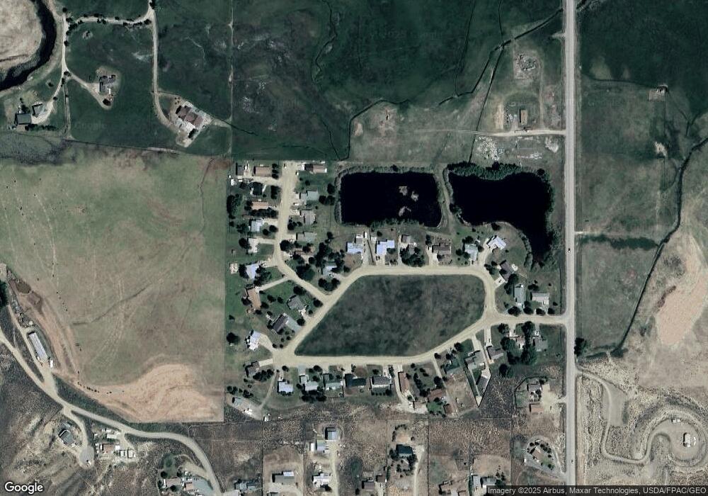
Map
Nearby Homes
- 388 Columbine Rd
- 120 Tomichi Creek Loop
- 300 Tomichi Creek Loop
- 244 Crocus Rd
- 96 Tomichi Creek Loop
- 71 Tomichi Creek Loop
- 1080 Fairway Ln
- 909 Fairway Ln
- 945 Fairway Ln
- 169 Camino Del Rio Unit 8
- 100 Camino Del Rio Unit 13
- 37480 US Highway 50 Unit 7
- 133 Park Dr
- 137 Park Dr
- 700 U S 50
- 300 Bevington Rd
- 706 Andrew Ln
- Lots 13-16 Us Highway 50 Frontage Rd
- 301 S 2nd St Unit 68
- 417 S Boulevard St Unit B
- 7810 Aspen Trail Unit TRACT 21
- 109 Aspen Trail
- 129 Aspen Trail
- 129 Aspen Trail Unit (1 Mile South of Air
- 129 Aspen Trail Unit Gold Basin Meadows
- 53 Cottonwood Trail
- 63 Cottonwood Trail
- 99 Aspen Trail
- 0 Aspen Trail Unit (1 Mile South of Air
- 0 Aspen Trail Unit 9404
- 0 Aspen Trail Unit Gold Basin Meadows
- 0 Aspen Trail Unit 12195
- 73 Cottonwood Trail
- 83 Cottonwood Trail
- 206 Willow Trail
- 89 Aspen Trail
- 93 Cottonwood Trail
- 93 Cottonwood Trail
- 93 Cottonwood Trail
- 68 Cottonwood Trail