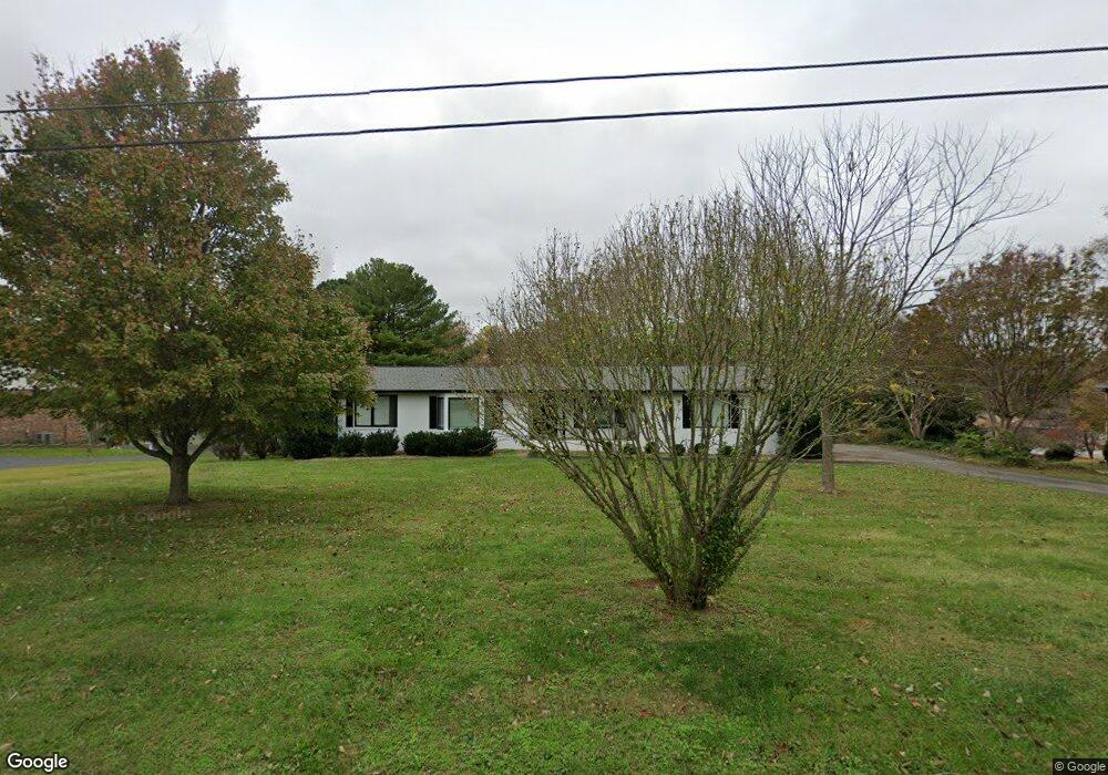
119 Brandi Way Winchester, TN 37398
Estimated Value: $804,000 - $951,000
4
Beds
4
Baths
2,730
Sq Ft
$312/Sq Ft
Est. Value
About This Home
This home is located at 119 Brandi Way, Winchester, TN 37398 and is currently estimated at $853,061, approximately $312 per square foot. 119 Brandi Way is a home located in Franklin County with nearby schools including North Middle School, Franklin County High School, and Winchester Christian Academy.
Ownership History
Date
Name
Owned For
Owner Type
Purchase Details
Closed on
Sep 18, 2019
Sold by
Ralston Scott A and Ralston Faye S
Bought by
Daughrity Joseph and Daughrity Rebecca
Current Estimated Value
Purchase Details
Closed on
Aug 7, 2006
Sold by
Gann Annie
Bought by
Lyle Sadie J
Purchase Details
Closed on
Sep 24, 1998
Sold by
Ralston Scott A And
Bought by
Ralston Scott A and Ralston Faye S
Purchase Details
Closed on
Nov 30, 1995
Bought by
Pickens Oliver
Purchase Details
Closed on
Oct 9, 1987
Purchase Details
Closed on
Aug 12, 1985
Purchase Details
Closed on
Sep 6, 1983
Purchase Details
Closed on
Aug 8, 1983
Create a Home Valuation Report for This Property
The Home Valuation Report is an in-depth analysis detailing your home's value as well as a comparison with similar homes in the area
Home Values in the Area
Average Home Value in this Area
Purchase History
| Date | Buyer | Sale Price | Title Company |
|---|---|---|---|
| Daughrity Joseph | $475,000 | None Available | |
| Lyle Sadie J | $62,400 | -- | |
| Ralston Scott A | -- | -- | |
| Pickens Oliver | $189,815 | -- | |
| -- | $21,500 | -- | |
| -- | -- | -- | |
| -- | -- | -- | |
| -- | -- | -- |
Source: Public Records
Tax History Compared to Growth
Tax History
| Year | Tax Paid | Tax Assessment Tax Assessment Total Assessment is a certain percentage of the fair market value that is determined by local assessors to be the total taxable value of land and additions on the property. | Land | Improvement |
|---|---|---|---|---|
| 2024 | $4,418 | $171,850 | $100,000 | $71,850 |
| 2023 | $4,418 | $171,850 | $100,000 | $71,850 |
| 2022 | $4,332 | $171,850 | $100,000 | $71,850 |
| 2021 | $2,511 | $171,850 | $100,000 | $71,850 |
| 2020 | $3,465 | $98,025 | $55,000 | $43,025 |
| 2019 | $3,465 | $98,025 | $55,000 | $43,025 |
| 2018 | $3,264 | $98,025 | $55,000 | $43,025 |
| 2017 | $3,264 | $98,025 | $55,000 | $43,025 |
| 2016 | $3,244 | $97,450 | $55,000 | $42,450 |
| 2015 | $3,185 | $97,450 | $55,000 | $42,450 |
| 2014 | $3,185 | $97,454 | $0 | $0 |
Source: Public Records
Map
Nearby Homes
- 103 Lisa Cir
- 510 N Porter St
- 0 N Porter St
- 303 N Porter St
- 203 3rd Ave NE
- 201&203 3rd Ave NE
- 0 Spring Hill Dr
- 311 N Jefferson St
- 209 N Jefferson St
- 715 N High St
- 706 N Vine St
- 1108 N Jefferson St
- 713 N Vine St
- 74 Summerlake Ct
- 0 Summerlake Ct Unit RTC2936678
- 0 Summerlake Ct Unit RTC2936679
- 0 Summerlake Ct Unit RTC2936676
- 0 Summerlake Ct Unit RTC2936675
- 0 Summerlake Ct Unit RTC2936677
- 0 Summerlake Ct Unit RTC2936673