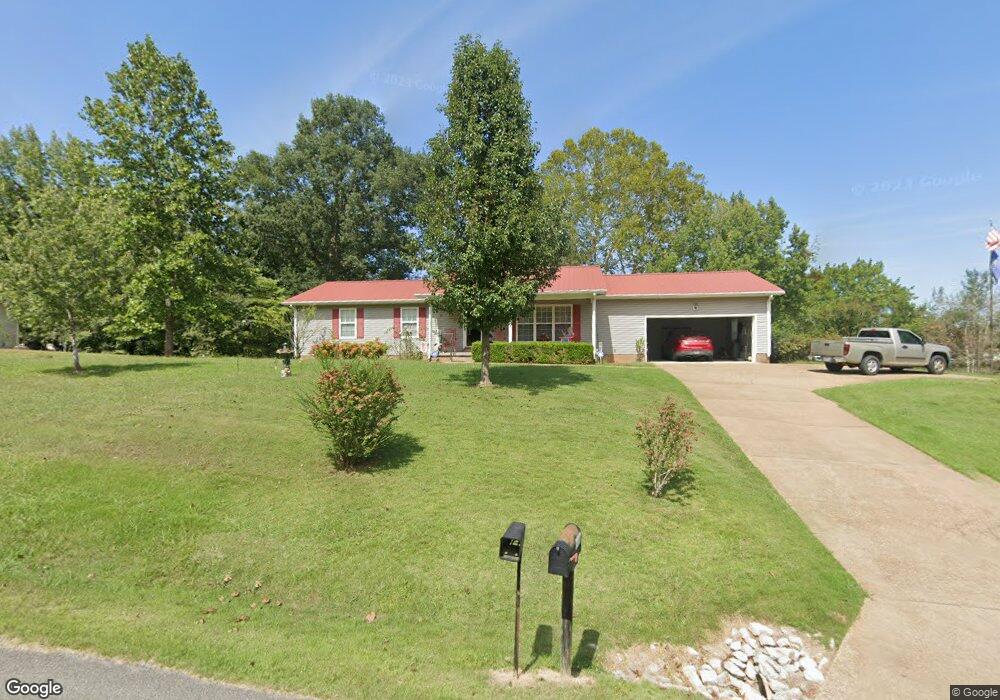
119 Cabin Dr Linden, TN 37096
Estimated Value: $231,889 - $441,000
--
Bed
2
Baths
1,652
Sq Ft
$181/Sq Ft
Est. Value
About This Home
This home is located at 119 Cabin Dr, Linden, TN 37096 and is currently estimated at $298,972, approximately $180 per square foot. 119 Cabin Dr is a home located in Perry County.
Ownership History
Date
Name
Owned For
Owner Type
Purchase Details
Closed on
Dec 16, 2024
Sold by
Litle Wanda Sue
Bought by
Wanda Sue Litle Family Irrevocable Trust and Litle
Current Estimated Value
Purchase Details
Closed on
Nov 20, 2024
Sold by
Litle Wanda and Hinson Barbara
Bought by
Litle Wanda
Purchase Details
Closed on
Jan 5, 2010
Bought by
Burns Joseph and Burns Mattie
Purchase Details
Closed on
Oct 7, 1998
Bought by
Burns Joseph and Burns Mattie
Purchase Details
Closed on
May 12, 1997
Bought by
Burns Joseph and Burns Mattie
Create a Home Valuation Report for This Property
The Home Valuation Report is an in-depth analysis detailing your home's value as well as a comparison with similar homes in the area
Home Values in the Area
Average Home Value in this Area
Purchase History
| Date | Buyer | Sale Price | Title Company |
|---|---|---|---|
| Wanda Sue Litle Family Irrevocable Trust | -- | None Listed On Document | |
| Wanda Sue Litle Family Irrevocable Trust | -- | None Listed On Document | |
| Wanda Sue Litle Family Irrevocable Trust | -- | None Listed On Document | |
| Litle Wanda | $180,000 | None Listed On Document | |
| Litle Wanda | $180,000 | None Listed On Document | |
| Litle Wanda | $180,000 | None Listed On Document | |
| Burns Joseph | $99,000 | -- | |
| Burns Joseph | $9,000 | -- | |
| Burns Joseph | $10,000 | -- |
Source: Public Records
Tax History Compared to Growth
Tax History
| Year | Tax Paid | Tax Assessment Tax Assessment Total Assessment is a certain percentage of the fair market value that is determined by local assessors to be the total taxable value of land and additions on the property. | Land | Improvement |
|---|---|---|---|---|
| 2025 | $1,097 | $39,175 | $0 | $0 |
| 2024 | $1,097 | $39,175 | $5,375 | $33,800 |
| 2023 | $1,097 | $39,175 | $5,375 | $33,800 |
| 2022 | $1,097 | $39,175 | $5,375 | $33,800 |
| 2021 | $1,097 | $39,175 | $5,375 | $33,800 |
| 2020 | $900 | $39,175 | $5,375 | $33,800 |
| 2019 | $1,105 | $37,050 | $6,500 | $30,550 |
| 2018 | $1,105 | $37,050 | $6,500 | $30,550 |
| 2017 | $1,094 | $37,050 | $6,500 | $30,550 |
| 2016 | $1,094 | $37,050 | $6,500 | $30,550 |
| 2015 | $1,076 | $37,050 | $6,500 | $30,550 |
| 2014 | $1,076 | $37,050 | $6,500 | $30,550 |
| 2013 | $1,043 | $35,946 | $0 | $0 |
Source: Public Records
Map
Nearby Homes
- 218 Cedar Ave
- 122 Shelton St
- 130 Elm Ln
- 141 Maple St
- 245 S Mill St
- 2017 Airport Ridge Rd
- 0 Church St
- 8072 Old Hohenwald Rd
- 5681 Old Hohenwald Rd
- 4439 Old Hohenwald Rd
- 7696 Old Hohenwald Rd
- 6004 Old Hohenwald Rd
- 5608 Old Hohenwald Rd
- 2082 Airport Ridge Rd
- 107 Possum Trot Ln
- 0 Treadwell Prong Unit RTC2707562
- 628 Starlight Dr
- 8884 U S Highway 412
- 117 Wyatt Ln
- 2172 Airport Ridge Rd
- 121 Cabin Dr
- 127 Cabin Dr
- 52 Tennessee 13
- 214 Southwood Dr
- 222 Southwood Dr
- 226 Southwood Dr
- 230 Southwood Dr
- 208 Southwood Dr
- 124 Cabin Dr
- 129 Cabin Dr
- 142 Riverside Dr
- 223 Southwood Dr
- 236 Southwood Dr
- 229 Southwood Dr
- 233 Southwood Dr
- 415 Cedar Dr
- 217 Southwood Dr
- 237 Southwood Dr
- 4850 Cedar Ave
- 228 Cedar Ave