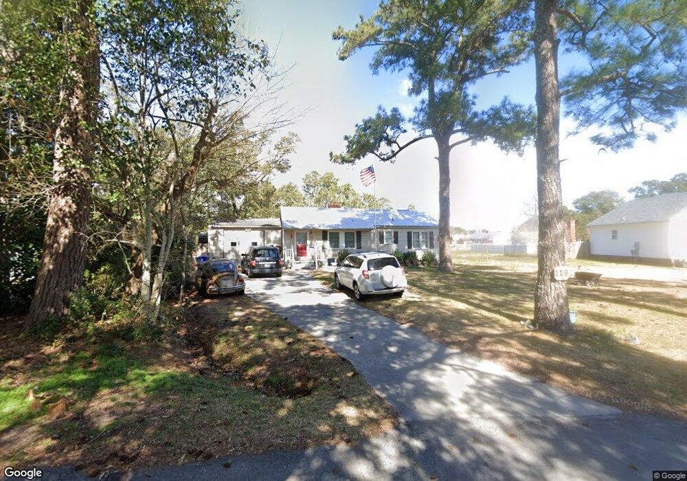
119 Circle Dr Unit A Beaufort, NC 28516
Estimated Value: $462,067 - $796,000
3
Beds
2
Baths
1,868
Sq Ft
$300/Sq Ft
Est. Value
About This Home
This home is located at 119 Circle Dr Unit A, Beaufort, NC 28516 and is currently estimated at $559,767, approximately $299 per square foot. 119 Circle Dr Unit A is a home located in Carteret County with nearby schools including Beaufort Elementary School, Beaufort Middle School, and East Carteret High School.
Ownership History
Date
Name
Owned For
Owner Type
Purchase Details
Closed on
Jan 15, 2019
Sold by
Litaker Richard
Bought by
Schamanski John Francis and Schamanski Charlotte Maureen
Current Estimated Value
Purchase Details
Closed on
May 29, 2009
Sold by
Hansen Mary M and Hansen Larry J
Bought by
Litaker Richard
Home Financials for this Owner
Home Financials are based on the most recent Mortgage that was taken out on this home.
Original Mortgage
$192,000
Interest Rate
4.81%
Mortgage Type
Purchase Money Mortgage
Purchase Details
Closed on
Mar 11, 2008
Sold by
Gray Mary M
Bought by
Hansen Mary M and Hansen Larry J
Purchase Details
Closed on
Aug 19, 2004
Purchase Details
Closed on
Mar 27, 2003
Purchase Details
Closed on
Mar 26, 2003
Create a Home Valuation Report for This Property
The Home Valuation Report is an in-depth analysis detailing your home's value as well as a comparison with similar homes in the area
Home Values in the Area
Average Home Value in this Area
Purchase History
| Date | Buyer | Sale Price | Title Company |
|---|---|---|---|
| Schamanski John Francis | $228,500 | None Available | |
| Litaker Richard | $240,000 | None Available | |
| Hansen Mary M | -- | None Available | |
| -- | $165,000 | -- | |
| -- | $30,000 | -- | |
| -- | $29,000 | -- |
Source: Public Records
Mortgage History
| Date | Status | Borrower | Loan Amount |
|---|---|---|---|
| Previous Owner | Litaker Richard | $192,000 |
Source: Public Records
Tax History
| Year | Tax Paid | Tax Assessment Tax Assessment Total Assessment is a certain percentage of the fair market value that is determined by local assessors to be the total taxable value of land and additions on the property. | Land | Improvement |
|---|---|---|---|---|
| 2025 | $2,777 | $468,985 | $137,309 | $331,676 |
| 2024 | $2,035 | $218,240 | $55,297 | $162,943 |
| 2023 | $1,940 | $218,240 | $55,297 | $162,943 |
| 2022 | $1,918 | $218,240 | $55,297 | $162,943 |
| 2021 | $1,701 | $192,740 | $55,297 | $137,443 |
| 2020 | $1,701 | $192,740 | $55,297 | $137,443 |
| 2019 | $1,639 | $189,937 | $46,081 | $143,856 |
| 2017 | $1,502 | $189,937 | $46,081 | $143,856 |
| 2016 | $1,416 | $189,937 | $46,081 | $143,856 |
| 2015 | $1,397 | $189,937 | $46,081 | $143,856 |
| 2014 | $1,358 | $197,493 | $49,879 | $147,614 |
Source: Public Records
Map
Nearby Homes
- 120 Crystal Pines Ct
- 1309 Live Oak St
- 199 Highway 101
- 203 Sherwood Blvd
- 201-203 Sherwood Blvd
- 201 Sherwood Blvd
- 110 Live Oak Commons
- 109 Live Oak Commons
- 621 W Beaufort Rd
- 116 Pine View Blvd
- 118 Pine View Blvd
- 120 Pine View Blvd
- 104 A Chestnut Dr
- 126 Pine View Blvd
- 116 Willow St
- 128 Pine View Blvd
- 104 Chestnut Dr
- 105 Ronnie Rd
- 272 N Carolina 101
- 805 Mulberry St Unit 104
- 119 Circle Dr
- 117 Circle Dr
- 118 Crystal Pines Ct
- 125 Circle Dr
- 116 Crystal Pines Ct
- 114 Crystal Pines Ct
- 122 Crystal Pines Ct
- 124 Crystal Pines Ct
- 126 Crystal Pines Ct
- 115 Circle Dr
- 114 Circle Dr
- 128 Crystal Pines Ct
- 112 Crystal Pines Ct
- 123 Circle Dr
- 130 Crystal Pines Ct
- 110 Crystal Pines Ct
- 132 Crystal Pines Ct
- 108 Crystal Pines Ct
- 106 Crystal Pines Ct
- 112 Circle Dr
Your Personal Tour Guide
Ask me questions while you tour the home.