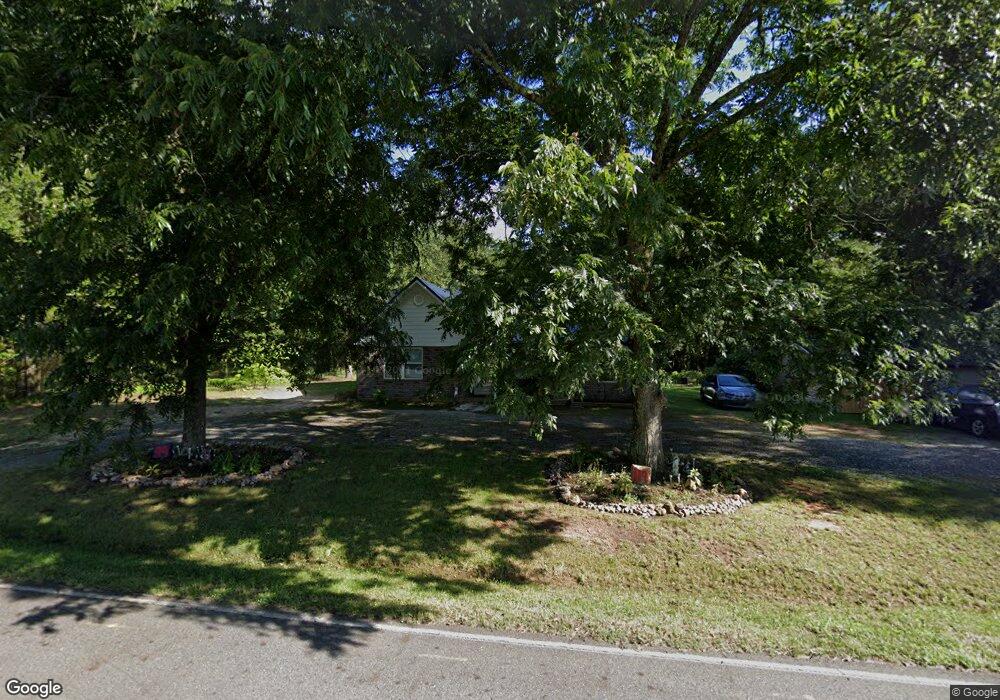
119 Countryside Rd Kings Mountain, NC 28086
Estimated Value: $252,173 - $337,000
--
Bed
--
Bath
1,214
Sq Ft
$230/Sq Ft
Est. Value
About This Home
This home is located at 119 Countryside Rd, Kings Mountain, NC 28086 and is currently estimated at $279,793, approximately $230 per square foot. 119 Countryside Rd is a home located in Cleveland County with nearby schools including Bethware Elementary School, Kings Mountain Intermediate School, and Kings Mountain Middle.
Ownership History
Date
Name
Owned For
Owner Type
Purchase Details
Closed on
Jul 8, 2005
Sold by
Hamrnight Mary C and Hamrnight Gany C
Bought by
Wichawn Caar A
Current Estimated Value
Home Financials for this Owner
Home Financials are based on the most recent Mortgage that was taken out on this home.
Original Mortgage
$26,000
Interest Rate
5.46%
Mortgage Type
New Conventional
Create a Home Valuation Report for This Property
The Home Valuation Report is an in-depth analysis detailing your home's value as well as a comparison with similar homes in the area
Home Values in the Area
Average Home Value in this Area
Purchase History
| Date | Buyer | Sale Price | Title Company |
|---|---|---|---|
| Wichawn Caar A | $66,500 | None Available |
Source: Public Records
Mortgage History
| Date | Status | Borrower | Loan Amount |
|---|---|---|---|
| Closed | Wichawn Caar A | $26,000 |
Source: Public Records
Tax History Compared to Growth
Tax History
| Year | Tax Paid | Tax Assessment Tax Assessment Total Assessment is a certain percentage of the fair market value that is determined by local assessors to be the total taxable value of land and additions on the property. | Land | Improvement |
|---|---|---|---|---|
| 2025 | $1,473 | $239,433 | $21,993 | $217,440 |
| 2024 | $1,183 | $142,235 | $15,258 | $126,977 |
| 2023 | $1,177 | $142,235 | $15,258 | $126,977 |
| 2022 | $1,177 | $142,235 | $15,258 | $126,977 |
| 2021 | $1,180 | $142,235 | $15,258 | $126,977 |
| 2020 | $500 | $15,258 | $15,258 | $0 |
| 2019 | $530 | $56,521 | $15,258 | $41,263 |
| 2018 | $531 | $56,521 | $15,258 | $41,263 |
| 2017 | $529 | $56,521 | $15,258 | $41,263 |
| 2016 | $500 | $56,521 | $15,258 | $41,263 |
| 2015 | $534 | $60,618 | $13,746 | $46,872 |
| 2014 | $534 | $60,618 | $13,746 | $46,872 |
Source: Public Records
Map
Nearby Homes
- 167 Patterson Rd
- 1427 Merrimont Ave
- 155 Patterson Rd
- 000 Putnam Lake Rd
- 521 Coman Ln
- 1417 Merrimont Ave
- 221 Reliance Rd
- 104 Ole Farm Place
- 104 Edison St
- 145 Crown Ct
- 117 Parker Claire Ln
- 111 Parker Claire Ln
- 213 Parker Claire Ln
- 117 Sir Lancelot Ln
- 106 Kelly Marie
- 101 Long Meadows Dr
- 1610 Shelby Rd
- 117 Dutchess Dr
- 1500 Shelby Rd
- 105 Gold Run Ct
- 118 Countryside Rd
- 149 Countryside Rd
- 149 Countryside Rd
- 120 Countryside Rd
- 108 Countryside Rd
- 124 Countryside Rd
- 103 Countryside Rd
- 127 Countryside Rd
- 232 Patterson Rd
- 221 Patterson Rd
- 230 Patterson Rd
- 336 Patterson Rd
- 336 Patterson Rd
- 121 Hickam Dr
- 228 Patterson Rd
- 219 Patterson Rd
- 226 Patterson Rd
- 142 Countryside Rd
- 130 Hickam Dr
- 224 Patterson Rd