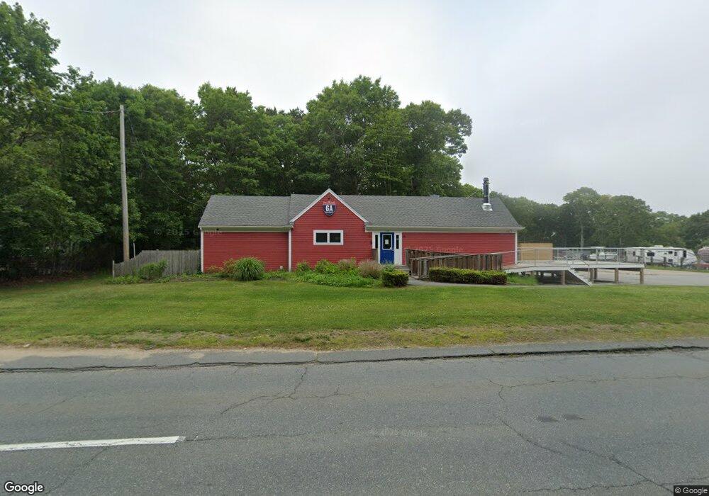
119 Cranberry Hwy Bourne, MA 2532
Estimated Value: $1,188,613
Studio
--
Bath
2,667
Sq Ft
$446/Sq Ft
Est. Value
About This Home
This home is located at 119 Cranberry Hwy, Bourne, MA 2532 and is currently estimated at $1,188,613, approximately $445 per square foot. 119 Cranberry Hwy is a home located in Barnstable County with nearby schools including Bourne High School, Bridgeview Montessori School, and Waldorf School of Cape Cod.
Ownership History
Date
Name
Owned For
Owner Type
Purchase Details
Closed on
Jul 27, 2012
Sold by
Hallam Michael J and Hallam Kathleen O
Bought by
T & J Rt
Current Estimated Value
Home Financials for this Owner
Home Financials are based on the most recent Mortgage that was taken out on this home.
Original Mortgage
$500,000
Outstanding Balance
$342,573
Interest Rate
3.74%
Mortgage Type
Commercial
Estimated Equity
$844,358
Purchase Details
Closed on
Jan 23, 2007
Sold by
Hallam Land T and Hallam H
Bought by
Mat Marine Inc and Hallam
Purchase Details
Closed on
Aug 11, 1999
Sold by
Ferretti Rt
Bought by
Hallam Land T
Create a Home Valuation Report for This Property
The Home Valuation Report is an in-depth analysis detailing your home's value as well as a comparison with similar homes in the area
Home Values in the Area
Average Home Value in this Area
Purchase History
| Date | Buyer | Sale Price | Title Company |
|---|---|---|---|
| T & J Rt | $500,000 | -- | |
| Mat Marine Inc | -- | -- | |
| Mat Marine Inc | -- | -- | |
| Hallam Land T | $225,000 | -- | |
| Hallam Land T | $225,000 | -- |
Source: Public Records
Mortgage History
| Date | Status | Borrower | Loan Amount |
|---|---|---|---|
| Open | T & J Rt | $500,000 | |
| Closed | Hallam Land T | $500,000 | |
| Previous Owner | Hallam Land T | $130,000 | |
| Previous Owner | Hallam Land T | $440,000 |
Source: Public Records
Tax History
| Year | Tax Paid | Tax Assessment Tax Assessment Total Assessment is a certain percentage of the fair market value that is determined by local assessors to be the total taxable value of land and additions on the property. | Land | Improvement |
|---|---|---|---|---|
| 2025 | $5,313 | $680,300 | $341,600 | $338,700 |
| 2024 | $5,219 | $650,800 | $325,300 | $325,500 |
| 2023 | $5,403 | $613,300 | $312,800 | $300,500 |
| 2022 | $5,820 | $576,800 | $294,100 | $282,700 |
| 2021 | $6,051 | $561,800 | $285,500 | $276,300 |
| 2020 | $5,961 | $555,000 | $280,000 | $275,000 |
| 2019 | $5,014 | $477,100 | $274,400 | $202,700 |
| 2018 | $4,845 | $459,700 | $263,900 | $195,800 |
| 2017 | $4,701 | $456,400 | $261,300 | $195,100 |
| 2016 | $4,680 | $460,600 | $261,300 | $199,300 |
| 2015 | $4,638 | $460,600 | $261,300 | $199,300 |
Source: Public Records
Map
Nearby Homes
- 51 Commonwealth Ave
- 51 Commonwealth Ave
- 896 Sandwich Rd
- 18 Gibbs Rd
- 8 Jillian Dr
- 38 Siasconset Dr
- 5 Candlewood Dr
- 16 Ocean Pines Dr Unit B
- 6 Aspen Rd
- 6 Aspen Rd
- 150 Herring Pond Rd
- 8 Driftwood Ln
- 21 Seneca Ln
- 71 Tupper Rd
- 0 State Rd
- 5 Pine St
- 133 Phillips Rd
- 10 Tecumseh Rd
- 16 Town Neck Rd
- 24 Heather Hill Rd
- 54 Commonwealth Ave
- 54 Commonwealth Ave
- 860 Sandwich Rd
- 860 Sandwich Rd Unit 3
- 860 Sandwich Rd Unit 27
- 2 Commonwealth Ave
- 115 Cranberry Hwy
- 145 Cranberry Hwy
- 52 Commonwealth Ave
- 52 Commonwealth Ave
- 36 Bluff Rd
- 34 Bluff Rd
- 111 Cranberry Hwy
- 46 Commonwealth Ave
- 49 Commonwealth Ave
- 30 Bluff Rd
- 49 Commonwealth Ave
- 49 Commonwealth Ave
- 0 Cranberry Hwy
- 44 Bluff Rd
Your Personal Tour Guide
Ask me questions while you tour the home.