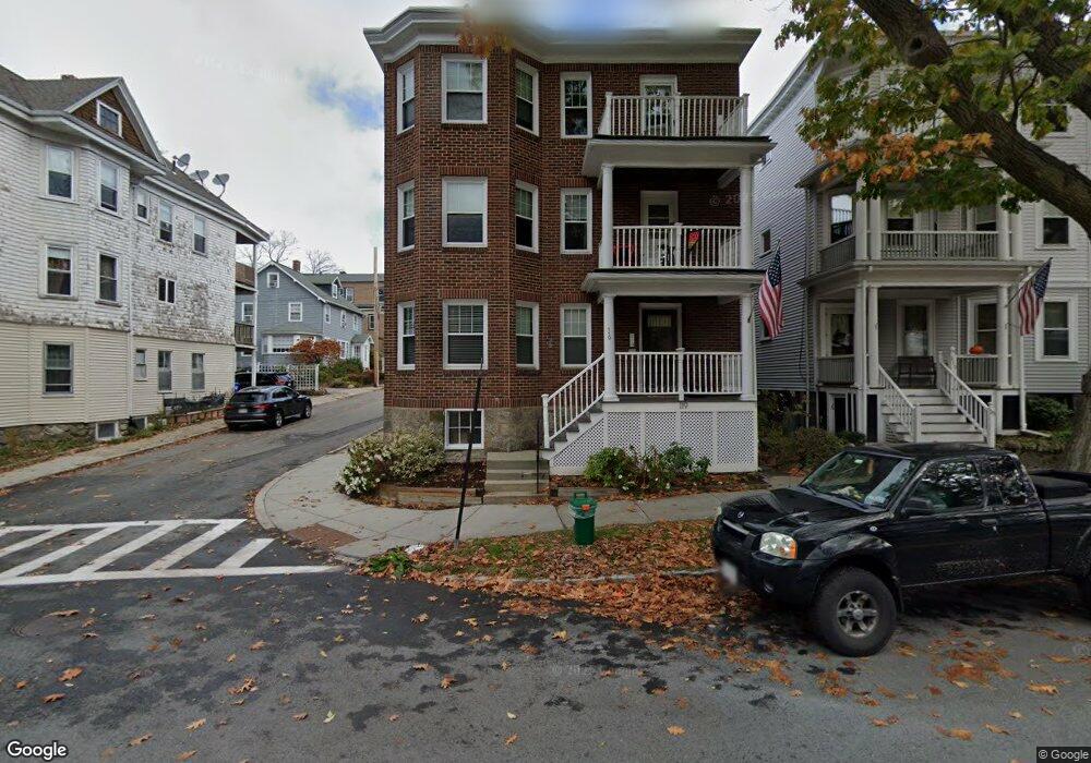
119 Eliot St Chestnut Hill, MA 02467
Chestnut Hill NeighborhoodEstimated Value: $1,556,000 - $2,131,000
6
Beds
3
Baths
4,170
Sq Ft
$458/Sq Ft
Est. Value
About This Home
This home is located at 119 Eliot St, Chestnut Hill, MA 02467 and is currently estimated at $1,911,000, approximately $458 per square foot. 119 Eliot St is a home located in Norfolk County with nearby schools including Heath Elementary School, Brookline High School, and Brimmer & May School.
Ownership History
Date
Name
Owned For
Owner Type
Purchase Details
Closed on
Feb 24, 2016
Sold by
Merrill Michael W
Bought by
119 Eliot Street Llc
Current Estimated Value
Purchase Details
Closed on
Jan 6, 1992
Sold by
Roalsen Ronald E and Roalsen Beverly E
Bought by
Merrill Michael W
Home Financials for this Owner
Home Financials are based on the most recent Mortgage that was taken out on this home.
Original Mortgage
$200,000
Interest Rate
8.56%
Mortgage Type
Purchase Money Mortgage
Create a Home Valuation Report for This Property
The Home Valuation Report is an in-depth analysis detailing your home's value as well as a comparison with similar homes in the area
Home Values in the Area
Average Home Value in this Area
Purchase History
| Date | Buyer | Sale Price | Title Company |
|---|---|---|---|
| 119 Eliot Street Llc | -- | -- | |
| Merrill Michael W | $315,000 | -- |
Source: Public Records
Mortgage History
| Date | Status | Borrower | Loan Amount |
|---|---|---|---|
| Previous Owner | Merrill Michael W | $263,500 | |
| Previous Owner | Merrill Michael W | $130,400 | |
| Previous Owner | Merrill Michael W | $130,400 | |
| Previous Owner | Merrill Michael W | $200,000 |
Source: Public Records
Tax History Compared to Growth
Tax History
| Year | Tax Paid | Tax Assessment Tax Assessment Total Assessment is a certain percentage of the fair market value that is determined by local assessors to be the total taxable value of land and additions on the property. | Land | Improvement |
|---|---|---|---|---|
| 2025 | $20,768 | $2,104,200 | $697,600 | $1,406,600 |
| 2024 | $21,032 | $2,152,700 | $670,700 | $1,482,000 |
| 2023 | $19,961 | $2,002,100 | $608,900 | $1,393,200 |
| 2022 | $19,430 | $1,906,800 | $579,900 | $1,326,900 |
| 2021 | $17,968 | $1,833,500 | $557,600 | $1,275,900 |
| 2020 | $17,124 | $1,812,100 | $506,800 | $1,305,300 |
| 2019 | $16,171 | $1,725,800 | $482,700 | $1,243,100 |
| 2018 | $16,055 | $1,697,100 | $480,200 | $1,216,900 |
| 2017 | $14,648 | $1,482,600 | $453,000 | $1,029,600 |
| 2016 | $14,044 | $1,347,800 | $423,400 | $924,400 |
| 2015 | $13,086 | $1,225,300 | $395,700 | $829,600 |
| 2014 | $13,542 | $1,188,900 | $359,700 | $829,200 |
Source: Public Records
Map
Nearby Homes
- 59 Ackers Ave Unit 1
- 30 Ackers Ave
- 641 Chestnut Hill Ave
- 55 Reservoir Rd Unit 2
- 540 Chestnut Hill Ave
- 9 Willard Rd
- 120 Seaver St Unit A103
- 120 Seaver St Unit C-102
- 33 Leicester St
- 34 Hyslop Rd
- 40 Heath Hill St
- 120 Cabot St
- 55 Leicester St
- 130 Cabot St
- 2400 Beacon St Unit 112
- 1014 Boylston St
- 17 Strathmore Rd Unit 2
- 8 Strathmore Rd Unit G
- 174 Middlesex Rd
- 2 Sutherland Rd Unit 35
- 119 Eliot St Unit 3
- 125 Eliot St
- 125 Eliot St Unit 3
- 115 Eliot St
- 127 Eliot St
- 127 Eliot St
- 127 Eliot St Unit 3
- 127 Eliot St Unit 1
- 127 Eliot St Unit 2
- 20 Doran Rd
- 59 Ackers Ave Unit 3
- 59 Ackers Ave Unit 2
- 59 Ackers Ave
- 57 Ackers Ave Unit 3
- 57 Ackers Ave Unit 2
- 57 Ackers Ave Unit 1
- 57 Ackers Ave
- 18 Doran Rd Unit 20
- 18 Doran Rd Unit 18
- 18 Doran Rd