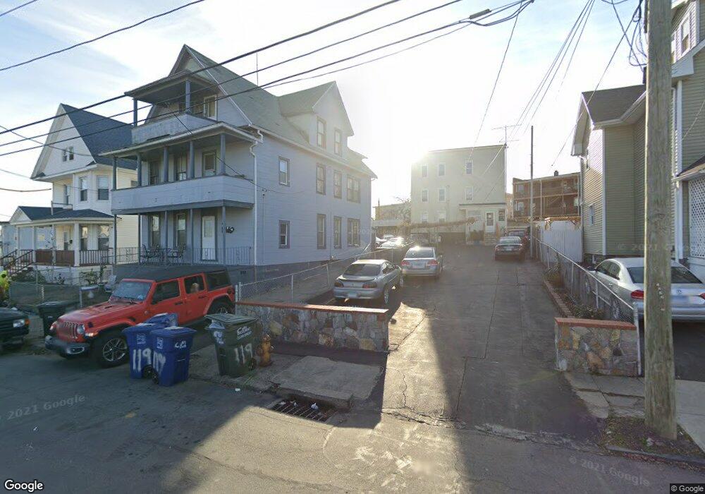
119 Frank St Unit 123 Bridgeport, CT 06604
The Hollow NeighborhoodEstimated Value: $265,252 - $553,000
6
Beds
3
Baths
2,610
Sq Ft
$175/Sq Ft
Est. Value
About This Home
This home is located at 119 Frank St Unit 123, Bridgeport, CT 06604 and is currently estimated at $455,813, approximately $174 per square foot. 119 Frank St Unit 123 is a home located in Fairfield County with nearby schools including Bassick High School, Catholic Academy of Bridgeport-St. Raphael Academy, and Kolbe Cathedral High School.
Ownership History
Date
Name
Owned For
Owner Type
Purchase Details
Closed on
Jun 7, 2010
Sold by
Ramos Rosalina and Ramos Delmino
Bought by
Munoz Cesar
Current Estimated Value
Home Financials for this Owner
Home Financials are based on the most recent Mortgage that was taken out on this home.
Original Mortgage
$143,073
Outstanding Balance
$96,591
Interest Rate
5.12%
Estimated Equity
$359,222
Create a Home Valuation Report for This Property
The Home Valuation Report is an in-depth analysis detailing your home's value as well as a comparison with similar homes in the area
Home Values in the Area
Average Home Value in this Area
Purchase History
| Date | Buyer | Sale Price | Title Company |
|---|---|---|---|
| Munoz Cesar | $145,000 | -- | |
| Munoz Cesar V | $145,000 | -- |
Source: Public Records
Mortgage History
| Date | Status | Borrower | Loan Amount |
|---|---|---|---|
| Open | Munoz Cesar V | $143,073 | |
| Closed | Munoz Cesar V | $143,073 |
Source: Public Records
Tax History Compared to Growth
Tax History
| Year | Tax Paid | Tax Assessment Tax Assessment Total Assessment is a certain percentage of the fair market value that is determined by local assessors to be the total taxable value of land and additions on the property. | Land | Improvement |
|---|---|---|---|---|
| 2025 | $6,707 | $154,350 | $40,870 | $113,480 |
| 2024 | $6,707 | $154,350 | $40,870 | $113,480 |
| 2023 | $6,707 | $154,350 | $40,870 | $113,480 |
| 2022 | $6,707 | $154,350 | $40,870 | $113,480 |
| 2021 | $6,707 | $154,350 | $40,870 | $113,480 |
| 2020 | $6,132 | $113,580 | $19,350 | $94,230 |
| 2019 | $6,132 | $113,580 | $19,350 | $94,230 |
| 2018 | $6,175 | $113,580 | $19,350 | $94,230 |
| 2017 | $6,175 | $113,580 | $19,350 | $94,230 |
| 2016 | $6,175 | $113,580 | $19,350 | $94,230 |
| 2015 | $7,225 | $171,220 | $40,270 | $130,950 |
| 2014 | $7,225 | $171,220 | $40,270 | $130,950 |
Source: Public Records
Map
Nearby Homes
- 318 Center St
- 191 Oak St
- 183 Calhoun Ave
- 78 Fairmount Ave
- 139 Highland Ave Unit 143
- 90 Tom Thumb St
- 75 Sanford Ave
- 76 Porter St
- 120 Milne St Unit 122
- 113 Milne St Unit 115
- 309 Pequonnock St
- 31 Taft Ave
- 79 William St
- 100 Lorraine St
- 213 Harral Ave Unit 215
- 200 Harral Ave
- 390 Charles St Unit 106
- 2395 Main St Unit 2397
- 289 Harriet St
- 5 William Place
- 129 Frank St
- 113 Frank St Unit 117
- 113 Frank St Unit 113
- 140 Frank St Unit 142
- 149 Frank St Unit 151
- 152 Frank St
- 240 Madison Ave Unit 242
- 264 Madison Terrace Unit 2
- 246 Madison Ave Unit 256
- 158 Frank St Unit 162
- 158 Frank St Unit 3
- 158 Frank St Unit 2
- 158 Frank St Unit 1
- 256 Madison Ave Unit 1ST F
- 256 Madison Ave Unit 256
- 258 Madison Ave
- 154 George St Unit 160
- 154 George St Unit 160 1st
- 154 George St Unit 1
- 154 George St Unit 2