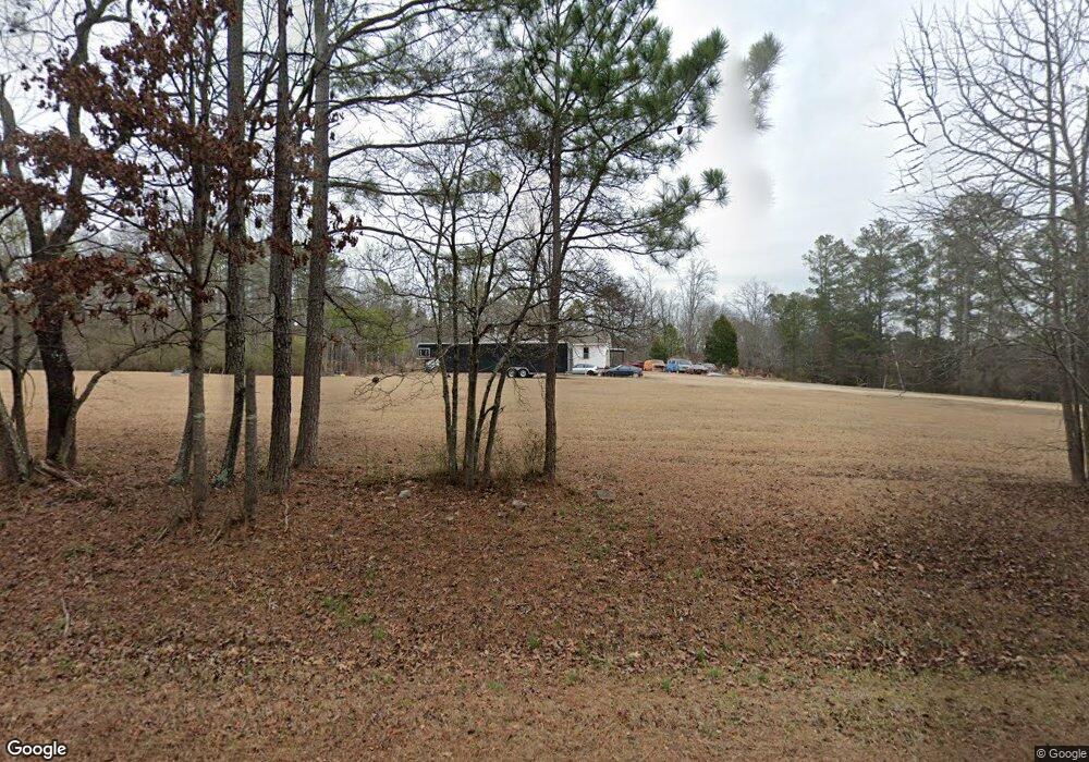
119 Gill Rd Kingston, GA 30145
Estimated Value: $282,754 - $309,000
--
Bed
--
Bath
1,579
Sq Ft
$189/Sq Ft
Est. Value
About This Home
This home is located at 119 Gill Rd, Kingston, GA 30145 and is currently estimated at $298,918, approximately $189 per square foot. 119 Gill Rd is a home located in Floyd County with nearby schools including Model Middle School and Model High School.
Ownership History
Date
Name
Owned For
Owner Type
Purchase Details
Closed on
Sep 8, 1988
Bought by
P and R
Current Estimated Value
Purchase Details
Closed on
Sep 6, 1988
Sold by
Walker Robert S Sarah C
Bought by
Home Federal Savings & Loan Association
Purchase Details
Closed on
May 10, 1988
Bought by
P and R
Purchase Details
Closed on
Oct 28, 1980
Sold by
Swann Clifford Larry
Bought by
Walker Robert S Sarah C
Purchase Details
Closed on
Mar 17, 1980
Sold by
Walter Robert S and Walter Sarah
Bought by
Swann Clifford Larry
Purchase Details
Closed on
Jan 31, 1980
Sold by
Simpson Jimmy Wayne and Simpson Gloria J
Bought by
Walter Robert S and Walter Sarah
Purchase Details
Closed on
Aug 27, 1979
Sold by
Walker Robert S and Walker Sarah
Bought by
Simpson Jimmy Wayne and Simpson Gloria J
Purchase Details
Closed on
Feb 16, 1976
Sold by
Bradshaw Charles E
Bought by
Walker Robert S and Walker Sarah
Purchase Details
Closed on
Apr 7, 1972
Sold by
Bing Clifford H and Bing Ruby
Bought by
Bradshaw Charles E
Purchase Details
Closed on
Dec 15, 1964
Bought by
P and R
Purchase Details
Closed on
Mar 7, 1953
Bought by
Bing Clifford H and Bing Ruby
Create a Home Valuation Report for This Property
The Home Valuation Report is an in-depth analysis detailing your home's value as well as a comparison with similar homes in the area
Home Values in the Area
Average Home Value in this Area
Purchase History
| Date | Buyer | Sale Price | Title Company |
|---|---|---|---|
| P | -- | -- | |
| Scott Edwin B | $56,200 | -- | |
| Home Federal Savings & Loan Association | -- | -- | |
| P | -- | -- | |
| Walker Robert S Sarah C | $8,500 | -- | |
| Swann Clifford Larry | $8,500 | -- | |
| Walter Robert S | $5,500 | -- | |
| Simpson Jimmy Wayne | $300 | -- | |
| Walker Robert S | $23,600 | -- | |
| Bradshaw Charles E | $1,600 | -- | |
| P | -- | -- | |
| Bing Clifford H | -- | -- |
Source: Public Records
Tax History Compared to Growth
Tax History
| Year | Tax Paid | Tax Assessment Tax Assessment Total Assessment is a certain percentage of the fair market value that is determined by local assessors to be the total taxable value of land and additions on the property. | Land | Improvement |
|---|---|---|---|---|
| 2024 | $1,916 | $116,862 | $17,266 | $99,596 |
| 2023 | $1,623 | $101,800 | $15,696 | $86,104 |
| 2022 | $1,418 | $87,522 | $12,949 | $74,573 |
| 2021 | $681 | $56,148 | $11,785 | $44,363 |
| 2020 | $553 | $48,708 | $10,248 | $38,460 |
| 2019 | $1,206 | $47,172 | $10,248 | $36,924 |
| 2018 | $1,170 | $45,111 | $9,761 | $35,350 |
| 2017 | $1,145 | $43,594 | $9,038 | $34,556 |
| 2016 | $1,149 | $43,088 | $9,000 | $34,088 |
| 2015 | $1,129 | $43,088 | $9,000 | $34,088 |
| 2014 | $1,129 | $43,088 | $9,000 | $34,088 |
Source: Public Records
Map
Nearby Homes
- 169 Barnsley Church Rd
- 0 Mcclain Rd Unit 10537234
- 676 Flowery Branch Rd
- 92 Davis Loop
- 145 Wiseman Rd
- 851 Barnsley Garden Rd
- 22 Starling Ct
- 0 Galway Dr NE
- 350 Galway Dr
- 221 Dry Creek Rd NW Unit LotWP001
- 221 Dry Creek Rd NW
- 0 Fire Tower Rd NE Unit 10418895
- 220 Connesena Rd
- 96 Collins Rd NE
- 195 Connesena Rd
- 370 Youngs Mill Rd
- 291 Youngs Mill Rd
- 6 Hideaway Dr NE
- 0 Cork Unit 10321973
