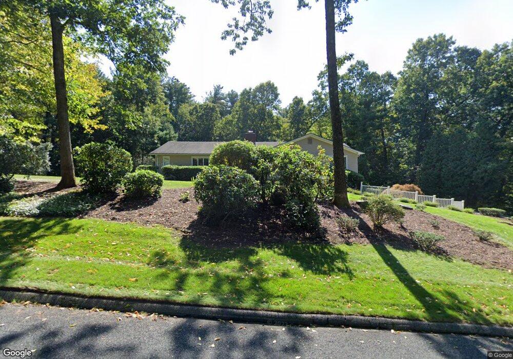
119 Green Tree Ln Somers, CT 06071
Estimated Value: $519,940 - $601,000
3
Beds
3
Baths
2,268
Sq Ft
$247/Sq Ft
Est. Value
About This Home
This home is located at 119 Green Tree Ln, Somers, CT 06071 and is currently estimated at $560,235, approximately $247 per square foot. 119 Green Tree Ln is a home located in Tolland County with nearby schools including Somers Elementary School, Mabelle B. Avery Middle School, and Somers High School.
Ownership History
Date
Name
Owned For
Owner Type
Purchase Details
Closed on
Mar 31, 2011
Sold by
Deni Donald J and Deni Celia E
Bought by
Deni Donald J and Deni Celia J
Current Estimated Value
Purchase Details
Closed on
Jun 22, 1992
Sold by
Holt Everett Jr Est
Bought by
Deni Celia and Deni Donald
Home Financials for this Owner
Home Financials are based on the most recent Mortgage that was taken out on this home.
Original Mortgage
$50,000
Interest Rate
8%
Mortgage Type
Purchase Money Mortgage
Create a Home Valuation Report for This Property
The Home Valuation Report is an in-depth analysis detailing your home's value as well as a comparison with similar homes in the area
Home Values in the Area
Average Home Value in this Area
Purchase History
| Date | Buyer | Sale Price | Title Company |
|---|---|---|---|
| Deni Donald J | -- | -- | |
| Deni Donald J | -- | -- | |
| Deni Celia | $232,500 | -- |
Source: Public Records
Mortgage History
| Date | Status | Borrower | Loan Amount |
|---|---|---|---|
| Previous Owner | Deni Celia | $50,000 |
Source: Public Records
Tax History
| Year | Tax Paid | Tax Assessment Tax Assessment Total Assessment is a certain percentage of the fair market value that is determined by local assessors to be the total taxable value of land and additions on the property. | Land | Improvement |
|---|---|---|---|---|
| 2025 | $6,616 | $219,000 | $69,400 | $149,600 |
| 2024 | $6,342 | $219,000 | $69,400 | $149,600 |
| 2023 | $6,200 | $219,000 | $69,400 | $149,600 |
| 2022 | $6,036 | $219,000 | $69,400 | $149,600 |
| 2021 | $4,396 | $219,000 | $69,400 | $149,600 |
| 2020 | $5,887 | $215,100 | $69,400 | $145,700 |
| 2019 | $4,456 | $204,300 | $75,300 | $129,000 |
| 2018 | $4,385 | $204,300 | $75,300 | $129,000 |
| 2017 | $5,204 | $204,300 | $75,300 | $129,000 |
| 2016 | $4,948 | $204,300 | $75,300 | $129,000 |
| 2015 | $4,814 | $206,000 | $82,400 | $123,600 |
| 2014 | $4,814 | $206,000 | $82,400 | $123,600 |
Source: Public Records
Map
Nearby Homes
- 64 Somerset Ln
- 369 Turnpike Rd
- 11 King Rd
- 142 Turnpike Rd
- 63 Maple Ridge Dr
- 200 Hampden Rd
- 175 Stafford Rd
- 169 Stafford Rd
- 42 Schneider Rd
- 969 Main St
- 5 Cantlewood Dr
- 8 S Ridge Rd
- 41 Martin Farms Rd
- 1040 Main St
- 994 Main St
- 283 Mountain View Rd
- 557 Hall Hill Rd
- 56 Brittany Ln
- Lot D South Rd
- 139 Hall Hill Rd
- 127 Green Tree Ln
- 120 Green Tree Ln
- 133 Green Tree Ln
- 104 Green Tree Ln
- 52 Somerset Ln
- 96 Green Tree Ln
- 107 Green Tree Ln
- 25 Cedar Hill Terrace
- 53 Somerset Ln
- 42 Somerset Ln
- 59 Somerset Ln
- 17 Cedar Hill Terrace
- 20 Cedar Hill Terrace
- 95 Green Tree Ln
- 8 Somerset Ln
- 45 Somerset Ln
- 14 Cedar Hill Terrace
- 90 Green Tree Ln
- 18 Somerset Ln
- 85 Green Tree Ln
Your Personal Tour Guide
Ask me questions while you tour the home.