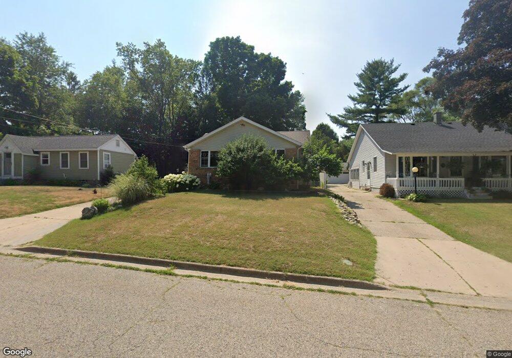
119 Harper Dr Sparta, MI 49345
Estimated Value: $204,563 - $247,000
2
Beds
1
Bath
1,136
Sq Ft
$204/Sq Ft
Est. Value
About This Home
This home is located at 119 Harper Dr, Sparta, MI 49345 and is currently estimated at $231,891, approximately $204 per square foot. 119 Harper Dr is a home located in Kent County with nearby schools including Ridgeview Elementary School, Appleview Elementary School, and Sparta Middle School.
Ownership History
Date
Name
Owned For
Owner Type
Purchase Details
Closed on
Aug 22, 2017
Sold by
Barnhart Juliana M
Bought by
Barnhart Juliana M and Juliana M Barnhart Trust
Current Estimated Value
Purchase Details
Closed on
May 30, 2006
Sold by
Cook Karen and Borowka Karen M
Bought by
Barnhart Juliana M
Home Financials for this Owner
Home Financials are based on the most recent Mortgage that was taken out on this home.
Original Mortgage
$146,900
Interest Rate
6.68%
Mortgage Type
Fannie Mae Freddie Mac
Purchase Details
Closed on
Apr 16, 2001
Sold by
Oliveri Darren R and Oliveri Tannis M
Bought by
Borowka Karen M
Home Financials for this Owner
Home Financials are based on the most recent Mortgage that was taken out on this home.
Original Mortgage
$87,203
Interest Rate
7.03%
Purchase Details
Closed on
Aug 12, 1998
Sold by
Swanson Ronald E and Swanson Darlene K
Bought by
Oliveri Darren R and Oliveri Tannis M
Create a Home Valuation Report for This Property
The Home Valuation Report is an in-depth analysis detailing your home's value as well as a comparison with similar homes in the area
Home Values in the Area
Average Home Value in this Area
Purchase History
| Date | Buyer | Sale Price | Title Company |
|---|---|---|---|
| Barnhart Juliana M | -- | None Available | |
| Barnhart Juliana M | $104,500 | None Available | |
| Borowka Karen M | $89,900 | -- | |
| Oliveri Darren R | $82,000 | -- |
Source: Public Records
Mortgage History
| Date | Status | Borrower | Loan Amount |
|---|---|---|---|
| Closed | Barnhart Juliana M | $146,900 | |
| Previous Owner | Borowka Karen M | $87,203 |
Source: Public Records
Tax History
| Year | Tax Paid | Tax Assessment Tax Assessment Total Assessment is a certain percentage of the fair market value that is determined by local assessors to be the total taxable value of land and additions on the property. | Land | Improvement |
|---|---|---|---|---|
| 2025 | $1,711 | $94,300 | $0 | $0 |
| 2024 | $17 | $87,800 | $0 | $0 |
| 2023 | $1,634 | $78,400 | $0 | $0 |
| 2022 | $1,916 | $62,100 | $0 | $0 |
| 2021 | $1,862 | $58,200 | $0 | $0 |
| 2020 | $1,497 | $55,700 | $0 | $0 |
| 2019 | $1,290 | $52,100 | $0 | $0 |
| 2018 | $1,775 | $49,600 | $0 | $0 |
| 2017 | $2,734 | $44,800 | $0 | $0 |
| 2016 | $1,679 | $42,900 | $0 | $0 |
| 2015 | -- | $42,900 | $0 | $0 |
| 2013 | -- | $40,500 | $0 | $0 |
Source: Public Records
Map
Nearby Homes
- 92 N State St
- 187 Centennial St
- 277 Grove St
- 12700 Stebbins Ave NW
- 12175 Sparta Ave NW
- 12201 Sparta Ave NW
- 12251 Sparta Ave NW
- Parcel A 15 Mile Rd NW
- Parcel C 15 Mile Rd NE
- V/L Yost Pkwy
- 270 14 Mile Rd NW
- 9340-4 Sparta Ave NW
- 9340-5 Sparta Ave NW
- 144 Toby Rd NW
- 195 Toby Rd NW
- 26 Traveler Dr NW
- 91 Traveler Dr NW Unit 91
- 12401 Sparta Ave
Your Personal Tour Guide
Ask me questions while you tour the home.