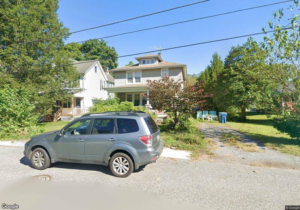
119 Jethro St North East, MD 21901
Estimated Value: $271,000 - $349,000
--
Bed
1
Bath
1,898
Sq Ft
$162/Sq Ft
Est. Value
About This Home
This home is located at 119 Jethro St, North East, MD 21901 and is currently estimated at $306,958, approximately $161 per square foot. 119 Jethro St is a home located in Cecil County with nearby schools including North East Elementary School, North East Middle School, and North East High School.
Ownership History
Date
Name
Owned For
Owner Type
Purchase Details
Closed on
Dec 19, 2002
Sold by
Riley Joseph P
Bought by
Dorsett Parker and Dorsett Dawn M
Current Estimated Value
Purchase Details
Closed on
Jun 29, 1993
Sold by
Morning Cheer, Inc.
Bought by
Riley Joseph P
Home Financials for this Owner
Home Financials are based on the most recent Mortgage that was taken out on this home.
Original Mortgage
$66,500
Interest Rate
7.34%
Purchase Details
Closed on
Jan 29, 1987
Sold by
Slonecker Ronald E and Slonecker Kathy J
Bought by
Morning Cheer, Inc.
Create a Home Valuation Report for This Property
The Home Valuation Report is an in-depth analysis detailing your home's value as well as a comparison with similar homes in the area
Home Values in the Area
Average Home Value in this Area
Purchase History
| Date | Buyer | Sale Price | Title Company |
|---|---|---|---|
| Dorsett Parker | $140,000 | -- | |
| Riley Joseph P | $70,000 | -- | |
| Morning Cheer, Inc. | $64,000 | -- |
Source: Public Records
Mortgage History
| Date | Status | Borrower | Loan Amount |
|---|---|---|---|
| Previous Owner | Riley Joseph P | $66,500 | |
| Closed | Dorsett Parker | -- |
Source: Public Records
Tax History Compared to Growth
Tax History
| Year | Tax Paid | Tax Assessment Tax Assessment Total Assessment is a certain percentage of the fair market value that is determined by local assessors to be the total taxable value of land and additions on the property. | Land | Improvement |
|---|---|---|---|---|
| 2025 | $3,482 | $203,700 | $0 | $0 |
| 2024 | $2,982 | $193,200 | $0 | $0 |
| 2023 | $2,504 | $182,700 | $58,400 | $124,300 |
| 2022 | $3,174 | $180,567 | $0 | $0 |
| 2021 | $3,110 | $178,433 | $0 | $0 |
| 2020 | $3,092 | $176,300 | $58,400 | $117,900 |
| 2019 | $3,058 | $174,633 | $0 | $0 |
| 2018 | $3,025 | $172,967 | $0 | $0 |
| 2017 | $2,993 | $171,300 | $0 | $0 |
| 2016 | $2,736 | $167,433 | $0 | $0 |
| 2015 | $2,736 | $163,567 | $0 | $0 |
| 2014 | $2,663 | $159,700 | $0 | $0 |
Source: Public Records
Map
Nearby Homes
- 15 S Mauldin Ave
- parcel # 66 Rolling Mill Ln
- 511 Deans Bank Rd
- 14 Mallory Way Unit WYNDHAM
- 62 Rehill Ave
- 0 Pulaski Hwy
- 2515 Pulaski Hwy
- 25 Beech St
- 105 W Walnut St
- 0 Mallory Way Unit MDCC2003990
- 0 Mallory Way Unit MDCC169342
- 122 NE Isle Dr
- 144 NE Isles Dr Unit 95A
- 73 NE Isle Dr
- 51 Hickory Dr
- 6 Colonial Cir
- 13 Forest Dr
- 37 NE Isle Dr
- 101 Belvue Rd
- 57 Falls Rd
- 117 Jethro St
- 121 Jethro St
- 109 Jethro St
- 116 Jethro St
- 114 Jethro St
- 112 Jethro St
- 123 Jethro St
- 105 Jethro St
- 117 W Cecil Ave
- 101 Jethro St
- 140 Jethro St
- 103 Jethro St
- 138 Jethro St
- 201 E Cecil Ave
- 203 E Cecil Ave
- 121 E Cecil Ave
- 117 E Cecil Ave
- 111 E Cecil Ave Unit 2
- 111 E Cecil Ave
- 115 E Cecil Ave