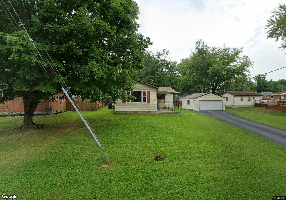
119 Maple St Mount Orab, OH 45154
Estimated Value: $198,843 - $220,000
Studio
--
Bath
1,157
Sq Ft
$181/Sq Ft
Est. Value
About This Home
This home is located at 119 Maple St, Mount Orab, OH 45154 and is currently estimated at $209,711, approximately $181 per square foot. 119 Maple St is a home located in Brown County with nearby schools including Western Brown High School.
Create a Home Valuation Report for This Property
The Home Valuation Report is an in-depth analysis detailing your home's value as well as a comparison with similar homes in the area
Home Values in the Area
Average Home Value in this Area
Tax History
| Year | Tax Paid | Tax Assessment Tax Assessment Total Assessment is a certain percentage of the fair market value that is determined by local assessors to be the total taxable value of land and additions on the property. | Land | Improvement |
|---|---|---|---|---|
| 2024 | $1,132 | $35,580 | $6,210 | $29,370 |
| 2023 | $1,132 | $27,230 | $5,260 | $21,970 |
| 2022 | $938 | $27,230 | $5,260 | $21,970 |
| 2021 | $901 | $27,230 | $5,260 | $21,970 |
| 2020 | $791 | $22,700 | $4,390 | $18,310 |
| 2019 | $844 | $22,700 | $4,390 | $18,310 |
| 2018 | $834 | $22,700 | $4,390 | $18,310 |
| 2017 | $717 | $19,030 | $4,390 | $14,640 |
| 2016 | $718 | $19,030 | $4,390 | $14,640 |
| 2015 | $74 | $2,190 | $2,190 | $0 |
| 2014 | $74 | $2,000 | $2,000 | $0 |
| 2013 | $71 | $1,940 | $1,940 | $0 |
Source: Public Records
Map
Nearby Homes
- 329 E Main St
- 100 Robin Ave
- 411 Smith Ave
- 506 E Main St
- 0 State Route 32 Unit 1795308
- 106 Nathans Ln
- 3387 Trabecca Ln
- 108 Lonny St
- 106 Lonny St
- 203 Bingaman Ln
- Fairton Plan at Glover Meadows
- Chatham Plan at Glover Meadows
- Bellamy Plan at Glover Meadows
- Taylor Plan at Glover Meadows
- Harmony Plan at Glover Meadows
- Aldridge Plan at Glover Meadows
- 208 Gregory St
- 105 Maple Ridge Ave
- 214 Gregory St
- 206 Bingaman Ln