119 Millridge Dr Lagrange, GA 30240
Estimated Value: $712,000 - $854,000
5
Beds
4
Baths
5,148
Sq Ft
$150/Sq Ft
Est. Value
About This Home
This home is located at 119 Millridge Dr, Lagrange, GA 30240 and is currently estimated at $770,087, approximately $149 per square foot. 119 Millridge Dr is a home located in Troup County with nearby schools including Hollis Hand Elementary School, Ethel W. Kight Elementary School, and Franklin Forest Elementary School.
Ownership History
Date
Name
Owned For
Owner Type
Purchase Details
Closed on
Mar 15, 2005
Sold by
Millridge Partners Llc
Bought by
Golden William J and Golden Margaret C
Current Estimated Value
Home Financials for this Owner
Home Financials are based on the most recent Mortgage that was taken out on this home.
Original Mortgage
$90,000
Interest Rate
5.57%
Mortgage Type
New Conventional
Purchase Details
Closed on
Jan 13, 2004
Sold by
Millridge Partners Llc
Bought by
Mill Ridge Partners Llc
Purchase Details
Closed on
Oct 28, 2002
Sold by
Mark C Callaway
Bought by
Millridge Partners Llc
Purchase Details
Closed on
Jun 30, 2000
Sold by
Debra C Callaway
Bought by
Mark C Callaway
Purchase Details
Closed on
May 10, 2000
Sold by
Mark Callaway
Bought by
Debra C Callaway
Purchase Details
Closed on
May 9, 2000
Bought by
Mark Callaway
Purchase Details
Closed on
Aug 3, 1999
Create a Home Valuation Report for This Property
The Home Valuation Report is an in-depth analysis detailing your home's value as well as a comparison with similar homes in the area
Purchase History
| Date | Buyer | Sale Price | Title Company |
|---|---|---|---|
| Golden William J | $100,000 | -- | |
| Mill Ridge Partners Llc | -- | -- | |
| Millridge Partners Llc | $413,000 | -- | |
| Mark C Callaway | -- | -- | |
| Debra C Callaway | -- | -- | |
| Mark Callaway | -- | -- | |
| -- | -- | -- |
Source: Public Records
Mortgage History
| Date | Status | Borrower | Loan Amount |
|---|---|---|---|
| Closed | Golden William J | $90,000 |
Source: Public Records
Tax History
| Year | Tax Paid | Tax Assessment Tax Assessment Total Assessment is a certain percentage of the fair market value that is determined by local assessors to be the total taxable value of land and additions on the property. | Land | Improvement |
|---|---|---|---|---|
| 2025 | $7,574 | $284,200 | $40,000 | $244,200 |
| 2024 | $7,351 | $271,520 | $40,000 | $231,520 |
| 2023 | $6,819 | $252,000 | $40,000 | $212,000 |
| 2022 | $6,609 | $238,800 | $40,000 | $198,800 |
| 2021 | $5,910 | $197,960 | $40,000 | $157,960 |
| 2020 | $5,910 | $197,960 | $40,000 | $157,960 |
| 2019 | $5,629 | $188,640 | $40,000 | $148,640 |
| 2018 | $5,629 | $188,640 | $40,000 | $148,640 |
| 2017 | $5,629 | $188,640 | $40,000 | $148,640 |
| 2016 | $5,777 | $193,518 | $40,000 | $153,518 |
| 2015 | $5,761 | $192,665 | $39,520 | $153,145 |
| 2014 | $5,538 | $185,008 | $39,520 | $145,488 |
| 2013 | -- | $190,634 | $39,520 | $151,114 |
Source: Public Records
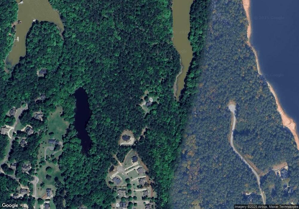
Map
Nearby Homes
- 638 Cameron Mill Rd
- 101 Deal Dr
- 106 Highland Park
- 2010 Foxcroft Dr
- 2005 Foxcroft Dr
- 217 Baywood Cir
- 1000 Foxcroft Dr
- 207 Lakeshore Dr
- 960 Cameron Mill Rd
- 201 Willowcrest Way
- 1589 New Franklin Rd
- 910 Piney Woods Dr
- 110 Pond View Point
- 1784 Mooty Bridge Rd
- 104 Spring Valley Dr
- 107 Cameron Pointe Dr
- 102 Cameron Pointe Dr
- 108 Saint Anthony Dr
- 0 Hills and Dales Farm Rd
- 406 Ashford Cir
- 117 Millridge Dr
- 120 Millridge Dr
- 124 Millridge Dr
- 118 Millridge Dr
- 127 Deal Dr
- 0 Millridge Dr Unit 13 7141636
- 0 Millridge Dr Unit 15 7141634
- 0 Millridge Dr Unit 11 7141632
- 0 Millridge Dr Unit 12 7141621
- 116 Millridge Dr
- 115 Millridge Dr Unit 8
- 123 Deal Dr Unit 2
- 123 Deal Dr
- 113 Millridge Dr
- 132 Deal Dr
- 112 Millridge Dr
- 112 Millridge Dr Unit 14
- 112 Victoria Dr
- 111 Millridge Dr
- 308 Victoria Pointe
Your Personal Tour Guide
Ask me questions while you tour the home.