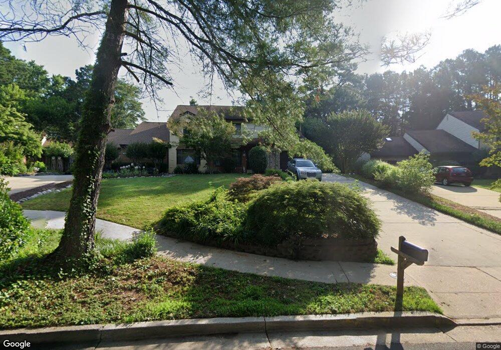
119 N Park Dr Salisbury, MD 21804
East Main Street NeighborhoodEstimated Value: $205,000 - $243,000
--
Bed
3
Baths
1,623
Sq Ft
$141/Sq Ft
Est. Value
About This Home
This home is located at 119 N Park Dr, Salisbury, MD 21804 and is currently estimated at $228,581, approximately $140 per square foot. 119 N Park Dr is a home located in Wicomico County with nearby schools including Charles H. Chipman Elementary School, Glen Avenue Elementary School, and Wicomico Middle School.
Ownership History
Date
Name
Owned For
Owner Type
Purchase Details
Closed on
May 17, 2017
Sold by
Johnson Nathan and The Estate Of Henry P Johnson
Bought by
Mertz John Jay
Current Estimated Value
Purchase Details
Closed on
Oct 26, 1999
Sold by
Barnes M Dawn
Bought by
Johnson Henry P
Purchase Details
Closed on
Jul 14, 1992
Sold by
Grimes Charles A and Grimes Marion G
Bought by
Barnes M Dawn
Home Financials for this Owner
Home Financials are based on the most recent Mortgage that was taken out on this home.
Original Mortgage
$79,200
Interest Rate
8.13%
Purchase Details
Closed on
Sep 28, 1987
Sold by
Brookshire By The Park, Inc
Bought by
Grimes Charles A and Grimes Marion G
Create a Home Valuation Report for This Property
The Home Valuation Report is an in-depth analysis detailing your home's value as well as a comparison with similar homes in the area
Home Values in the Area
Average Home Value in this Area
Purchase History
| Date | Buyer | Sale Price | Title Company |
|---|---|---|---|
| Mertz John Jay | $100,000 | Mid Atlantic Ttle & Escrow C | |
| Johnson Henry P | $86,000 | -- | |
| Barnes M Dawn | $99,000 | -- | |
| Grimes Charles A | $114,000 | -- |
Source: Public Records
Mortgage History
| Date | Status | Borrower | Loan Amount |
|---|---|---|---|
| Previous Owner | Barnes M Dawn | $79,200 | |
| Closed | Johnson Henry P | -- |
Source: Public Records
Tax History Compared to Growth
Tax History
| Year | Tax Paid | Tax Assessment Tax Assessment Total Assessment is a certain percentage of the fair market value that is determined by local assessors to be the total taxable value of land and additions on the property. | Land | Improvement |
|---|---|---|---|---|
| 2025 | $1,449 | $161,367 | $0 | $0 |
| 2024 | $1,449 | $151,100 | $16,100 | $135,000 |
| 2023 | $1,430 | $143,400 | $0 | $0 |
| 2022 | $1,383 | $135,700 | $0 | $0 |
| 2021 | $1,309 | $128,000 | $16,100 | $111,900 |
| 2020 | $1,303 | $126,367 | $0 | $0 |
| 2019 | $1,305 | $124,733 | $0 | $0 |
| 2018 | $2,525 | $123,100 | $16,100 | $107,000 |
| 2017 | $2,494 | $121,567 | $0 | $0 |
| 2016 | -- | $120,033 | $0 | $0 |
| 2015 | $722 | $118,500 | $0 | $0 |
| 2014 | $722 | $118,500 | $0 | $0 |
Source: Public Records
Map
Nearby Homes
- 722 S Park Dr
- 309 Park Heights Ave
- 201 Marshall St
- 131 Truitt St
- 405 Washington St
- 204 Holland Ave
- 305 Prince St
- 211 Truitt St
- 309 Marshall St
- 406 Grove Place
- 124 Priscilla St
- 322 Naylor St
- 704 Madison St
- 1012 Phillips Ave
- 716 Jackson St
- 304 Poplar Hill Ave
- 710 Madison St
- 309 Gay St
- 0 Civic Avenue & Beaglin Park Dr
- 729 Shiloh St