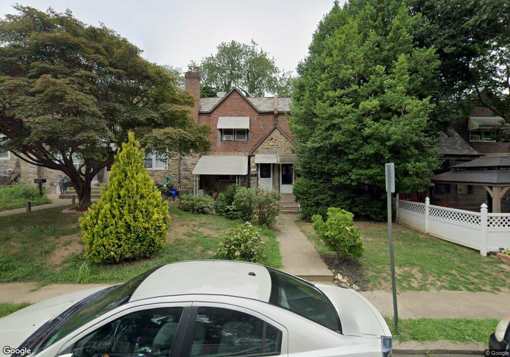
119 Normandy Rd Upper Darby, PA 19082
Estimated Value: $175,877 - $216,000
3
Beds
1
Bath
1,170
Sq Ft
$169/Sq Ft
Est. Value
About This Home
This home is located at 119 Normandy Rd, Upper Darby, PA 19082 and is currently estimated at $197,719, approximately $168 per square foot. 119 Normandy Rd is a home located in Delaware County with nearby schools including Bywood Elementary School, Upper Darby Kdg Center, and Upper Darby High School.
Ownership History
Date
Name
Owned For
Owner Type
Purchase Details
Closed on
Aug 10, 2011
Sold by
Bunt Rose and Bunt Dr Ronald
Bought by
Nylander Edward
Current Estimated Value
Home Financials for this Owner
Home Financials are based on the most recent Mortgage that was taken out on this home.
Original Mortgage
$79,921
Outstanding Balance
$55,465
Interest Rate
4.62%
Mortgage Type
FHA
Estimated Equity
$142,254
Create a Home Valuation Report for This Property
The Home Valuation Report is an in-depth analysis detailing your home's value as well as a comparison with similar homes in the area
Home Values in the Area
Average Home Value in this Area
Purchase History
| Date | Buyer | Sale Price | Title Company |
|---|---|---|---|
| Nylander Edward | $82,000 | None Available |
Source: Public Records
Mortgage History
| Date | Status | Borrower | Loan Amount |
|---|---|---|---|
| Open | Nylander Edward | $79,921 |
Source: Public Records
Tax History
| Year | Tax Paid | Tax Assessment Tax Assessment Total Assessment is a certain percentage of the fair market value that is determined by local assessors to be the total taxable value of land and additions on the property. | Land | Improvement |
|---|---|---|---|---|
| 2025 | $3,308 | $78,230 | $25,840 | $52,390 |
| 2024 | $3,308 | $78,230 | $25,840 | $52,390 |
| 2023 | $3,277 | $78,230 | $25,840 | $52,390 |
| 2022 | $3,189 | $78,230 | $25,840 | $52,390 |
| 2021 | $4,300 | $78,230 | $25,840 | $52,390 |
| 2020 | $3,567 | $55,140 | $20,100 | $35,040 |
| 2019 | $3,504 | $55,140 | $20,100 | $35,040 |
| 2018 | $3,464 | $55,140 | $0 | $0 |
| 2017 | $3,374 | $55,140 | $0 | $0 |
| 2016 | $303 | $55,140 | $0 | $0 |
| 2015 | $303 | $55,140 | $0 | $0 |
| 2014 | $303 | $55,140 | $0 | $0 |
Source: Public Records
Map
Nearby Homes
- 91 Lamport Rd
- 7265 Calvin Rd
- 7303 Sherbrook Blvd
- 7261 Calvin Rd
- 247 Coverly Rd
- 243 Coverly Rd
- 291 N Wycombe Ave
- 432 Grace Rd
- 360 Huntley Rd
- 7283 Bradford Rd
- 346 Long Ln
- 337 Copley Rd
- 345 Copley Rd
- 319 Avon Rd
- 418 Hampden Rd
- 244 Wembly Rd
- 418 Littlecroft Rd Unit 6A
- 234 Long Ln
- 305 Margate Rd
- 274 Avon Rd
Your Personal Tour Guide
Ask me questions while you tour the home.