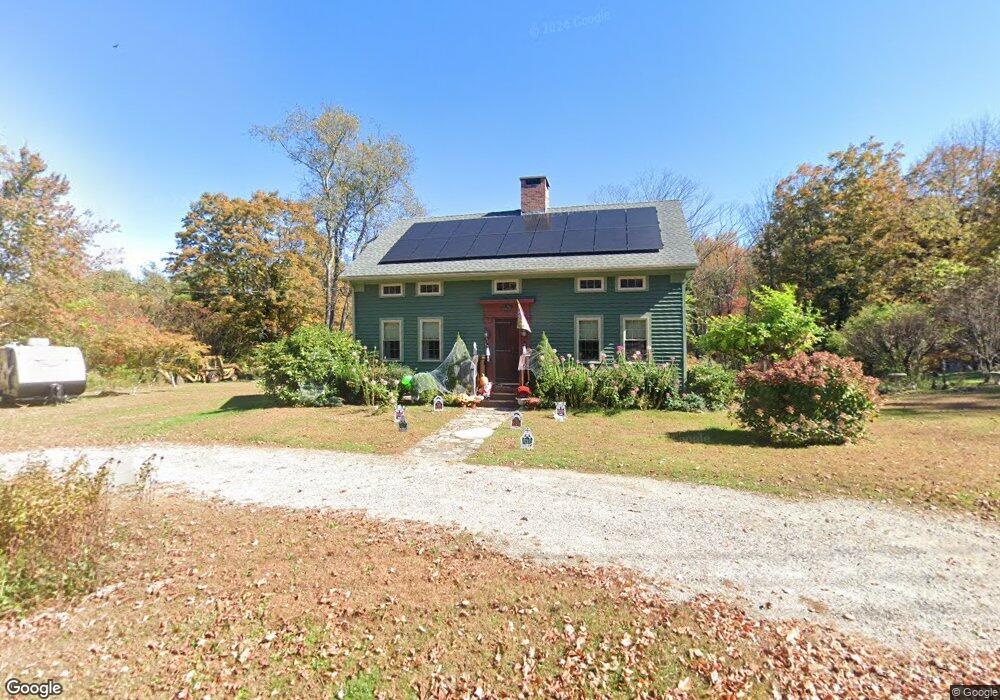
119 Old North Rd Winsted, CT 06098
Estimated Value: $336,167 - $427,000
4
Beds
1
Bath
1,863
Sq Ft
$198/Sq Ft
Est. Value
About This Home
This home is located at 119 Old North Rd, Winsted, CT 06098 and is currently estimated at $368,542, approximately $197 per square foot. 119 Old North Rd is a home located in Litchfield County with nearby schools including Explorations Charter School, St Anthony School, and The Gilbert School.
Ownership History
Date
Name
Owned For
Owner Type
Purchase Details
Closed on
Aug 14, 2013
Sold by
Davis Ruth A Est and Kupec
Bought by
Greenier Sharron A
Current Estimated Value
Home Financials for this Owner
Home Financials are based on the most recent Mortgage that was taken out on this home.
Original Mortgage
$153,061
Outstanding Balance
$113,111
Interest Rate
4.31%
Estimated Equity
$255,431
Purchase Details
Closed on
Jan 1, 1978
Bought by
Greenier Sharron A and Bascetta Charles M
Create a Home Valuation Report for This Property
The Home Valuation Report is an in-depth analysis detailing your home's value as well as a comparison with similar homes in the area
Home Values in the Area
Average Home Value in this Area
Purchase History
| Date | Buyer | Sale Price | Title Company |
|---|---|---|---|
| Greenier Sharron A | -- | -- | |
| Greenier Sharron A | -- | -- | |
| Greenier Sharron A | -- | -- | |
| Greenier Sharron A | -- | -- | |
| Greenier Sharron A | -- | -- |
Source: Public Records
Mortgage History
| Date | Status | Borrower | Loan Amount |
|---|---|---|---|
| Open | Greenier Sharron A | $153,061 | |
| Closed | Greenier Sharron A | $153,061 |
Source: Public Records
Tax History Compared to Growth
Tax History
| Year | Tax Paid | Tax Assessment Tax Assessment Total Assessment is a certain percentage of the fair market value that is determined by local assessors to be the total taxable value of land and additions on the property. | Land | Improvement |
|---|---|---|---|---|
| 2025 | $5,019 | $172,060 | $55,650 | $116,410 |
| 2024 | $4,687 | $172,060 | $55,650 | $116,410 |
| 2023 | $4,541 | $172,060 | $55,650 | $116,410 |
| 2022 | $4,285 | $127,750 | $42,070 | $85,680 |
| 2021 | $4,285 | $127,750 | $42,070 | $85,680 |
| 2020 | $4,285 | $127,750 | $42,070 | $85,680 |
| 2019 | $4,285 | $127,750 | $42,070 | $85,680 |
| 2018 | $4,285 | $127,750 | $42,070 | $85,680 |
| 2017 | $3,951 | $117,810 | $37,870 | $79,940 |
| 2016 | $3,714 | $110,740 | $37,870 | $72,870 |
| 2015 | $3,621 | $110,740 | $37,870 | $72,870 |
| 2014 | $3,534 | $110,740 | $37,870 | $72,870 |
Source: Public Records
Map
Nearby Homes
- 111 Riverton Rd Unit 61
- 111 Riverton Rd Unit 90
- 00 Ramsgate Ln
- 2 Ramsgate Ln
- 503 N Main St
- 52 White St
- 115 Old Robertsville Rd
- 0 Old Robertsville Rd
- 38 Riveredge Dr Unit 38
- 208 Spencer Hill Rd
- 212 Spencer Hill Rd
- 45 Riveredge Dr Unit 45
- 197 Spencer Hill Rd
- 174 Old North Rd
- 95 Nalette Dr
- 10 Crescent St
- 55 Walnut St
- 11 Old Creamery Rd
- 49 Walnut St
- 157 Elm St
- 117 Old North Rd
- 117 Old North Rd
- 121 Old North Rd
- 171 Wallens Hill Rd
- 167 Wallens Hill Rd
- 123 Old North Rd
- 111 Old North Rd
- 134 Old North Rd
- 134 Old North Rd
- 109 Old North Rd
- 110 Huntington Rd
- 112 Huntington Rd
- 120 Huntington Rd
- 107 Old North Rd
- 107 Old North Rd
- 118 Old North Rd
- 125 Old North Rd
- 125 Old Rd N
- 105 Old North Rd
- 105 Old North Rd