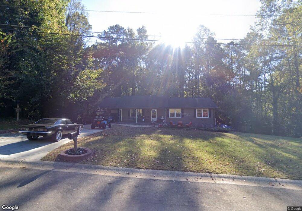
119 Opal Ct Unit 1 Canton, GA 30115
Estimated Value: $342,365 - $366,000
3
Beds
2
Baths
1,384
Sq Ft
$256/Sq Ft
Est. Value
About This Home
This home is located at 119 Opal Ct Unit 1, Canton, GA 30115 and is currently estimated at $354,183, approximately $255 per square foot. 119 Opal Ct Unit 1 is a home located in Cherokee County with nearby schools including Holly Springs Elementary School, Rusk Middle School, and Sequoyah High School.
Ownership History
Date
Name
Owned For
Owner Type
Purchase Details
Closed on
Jul 31, 2001
Sold by
Mahs Marty W
Bought by
Garcia Joaquin C and Garcia Amanda F
Current Estimated Value
Home Financials for this Owner
Home Financials are based on the most recent Mortgage that was taken out on this home.
Original Mortgage
$122,550
Outstanding Balance
$46,477
Interest Rate
7.08%
Mortgage Type
FHA
Estimated Equity
$307,706
Create a Home Valuation Report for This Property
The Home Valuation Report is an in-depth analysis detailing your home's value as well as a comparison with similar homes in the area
Home Values in the Area
Average Home Value in this Area
Purchase History
| Date | Buyer | Sale Price | Title Company |
|---|---|---|---|
| Garcia Joaquin C | $124,500 | -- |
Source: Public Records
Mortgage History
| Date | Status | Borrower | Loan Amount |
|---|---|---|---|
| Open | Garcia Joaquin C | $122,550 |
Source: Public Records
Tax History Compared to Growth
Tax History
| Year | Tax Paid | Tax Assessment Tax Assessment Total Assessment is a certain percentage of the fair market value that is determined by local assessors to be the total taxable value of land and additions on the property. | Land | Improvement |
|---|---|---|---|---|
| 2025 | $7,095 | $140,568 | $30,000 | $110,568 |
| 2024 | $3,742 | $125,448 | $18,360 | $107,088 |
| 2023 | $3,861 | $128,168 | $18,360 | $109,808 |
| 2022 | $3,182 | $104,048 | $18,360 | $85,688 |
| 2021 | $1,953 | $85,168 | $18,360 | $66,808 |
| 2020 | $1,354 | $77,408 | $16,400 | $61,008 |
| 2019 | $1,610 | $68,080 | $15,600 | $52,480 |
| 2018 | $2,067 | $60,600 | $13,600 | $47,000 |
| 2017 | $1,804 | $134,000 | $11,600 | $42,000 |
| 2016 | $1,044 | $101,400 | $8,800 | $31,760 |
| 2015 | $1,065 | $102,500 | $8,800 | $32,200 |
| 2014 | $1,078 | $103,600 | $8,800 | $32,640 |
Source: Public Records
Map
Nearby Homes
- 1104 Palm St
- 1414 Palm St
- 554 Palm St
- 1620 Palm St
- 3072 Holly Springs Pkwy
- 542 Palm St
- 1243 Palm Ridge Trace
- 251 Manous Way
- 482 Palm St
- 3132 Holly Springs Pkwy
- 3060 Holly Springs Pkwy
- 203 Brookhaven Place
- 3430 Holly Springs Pkwy
- 1000 Rabbit Hill Rd
- 102 Magnolia Springs Ln
- 152 Palm St
- 164 Palm St
- 417 Crestmont Ln
- 210 Candy Ln
- 210 Candy Ln Unit 1
- 0 Opal Ct Unit 7189631
- 0 Opal Ct Unit 8313902
- 0 Opal Ct
- 142 Curtis Cove
- 136 Opal Ct
- 138 Curtis Cove
- 137 Opal Ct
- 137 Opal Ct Unit 1
- 156 Curtis Cove
- 0 Candy Ln Unit 7068335
- 0 Candy Ln Unit 7131779
- 0 Candy Ln Unit 3223359
- 118 Candy Ln
- 120 Opal Ct
- 278 Candy Ln
- 132 Opal Ct
- 164 Curtis Cove
- 221 Candy Ln