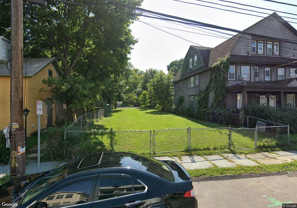
119 Prospect Ave Unit L5 Scranton, PA 18505
South Side NeighborhoodEstimated Value: $287,000 - $442,000
4
Beds
2
Baths
1,984
Sq Ft
$198/Sq Ft
Est. Value
About This Home
This home is located at 119 Prospect Ave Unit L5, Scranton, PA 18505 and is currently estimated at $392,799, approximately $197 per square foot. 119 Prospect Ave Unit L5 is a home located in Lackawanna County with nearby schools including John G. Whittier Elementary School, South Scranton Intermediate, and Scranton High School.
Ownership History
Date
Name
Owned For
Owner Type
Purchase Details
Closed on
May 24, 2022
Sold by
Synergy Pa Asset Group Llc
Bought by
Alto Strada Llc
Current Estimated Value
Purchase Details
Closed on
Aug 10, 2005
Sold by
Dorin Kevin and Dorin Denise
Bought by
Esperance Marie M
Home Financials for this Owner
Home Financials are based on the most recent Mortgage that was taken out on this home.
Original Mortgage
$95,250
Interest Rate
5.81%
Mortgage Type
New Conventional
Create a Home Valuation Report for This Property
The Home Valuation Report is an in-depth analysis detailing your home's value as well as a comparison with similar homes in the area
Home Values in the Area
Average Home Value in this Area
Purchase History
| Date | Buyer | Sale Price | Title Company |
|---|---|---|---|
| Alto Strada Llc | $21,000 | None Listed On Document | |
| Esperance Marie M | $127,000 | None Available |
Source: Public Records
Mortgage History
| Date | Status | Borrower | Loan Amount |
|---|---|---|---|
| Previous Owner | Esperance Marie M | $95,250 |
Source: Public Records
Tax History
| Year | Tax Paid | Tax Assessment Tax Assessment Total Assessment is a certain percentage of the fair market value that is determined by local assessors to be the total taxable value of land and additions on the property. | Land | Improvement |
|---|---|---|---|---|
| 2025 | $6,953 | $22,350 | $2,350 | $20,000 |
| 2024 | $6,339 | $22,350 | $2,350 | $20,000 |
| 2023 | $1,072 | $2,350 | $2,350 | $0 |
| 2022 | $1,049 | $2,350 | $2,350 | $0 |
| 2021 | $1,049 | $2,350 | $2,350 | $0 |
| 2020 | $1,036 | $2,350 | $2,350 | $0 |
| 2019 | $983 | $2,350 | $2,350 | $0 |
| 2018 | $983 | $2,350 | $2,350 | $0 |
| 2017 | $972 | $2,350 | $2,350 | $0 |
| 2016 | $546 | $2,350 | $2,350 | $0 |
| 2015 | $3,433 | $2,350 | $2,350 | $0 |
| 2014 | -- | $18,000 | $2,350 | $15,650 |
Source: Public Records
Map
Nearby Homes
- 131 Prospect Ave
- 636 Orchard St
- 321 Prospect Ave
- 522 524 River St
- 409 Prospect Ave
- 617 Hickory St
- 305 S Irving Ave
- 501-503 Cedar Ave
- 439 Alder St
- 417 S Irving Ave
- 509 Bogart Place
- 217 Crown Ave
- 910 Orchard St
- 710 Pittston Ave
- 432 Taylor Ave
- 718 Willow St
- 812 Willow St
- 616 Birch St
- 315 Stafford Ave
- 1019 Moosic St
- 119 Prospect L 5 Ave
- 115 Prospect Ave
- 123 Prospect Ave Unit 125
- 123 125 Prospect Ave
- 123-125 Prospect Ave
- 111 Prospect Ave
- 127 Prospect Ave Unit 1R
- 127 Prospect Ave
- 614 Moosic St Unit 616
- 614 Moosic St
- 614 Moosic St Unit R
- 614 Moosic St
- 107 Prospect Ave
- 611 Hemlock St
- 612 Moosic St
- 618 Moosic St
- 618 Moosic St
- 617 Hemlock St
- 615 Hemlock St
- 619 Hemlock St
Your Personal Tour Guide
Ask me questions while you tour the home.