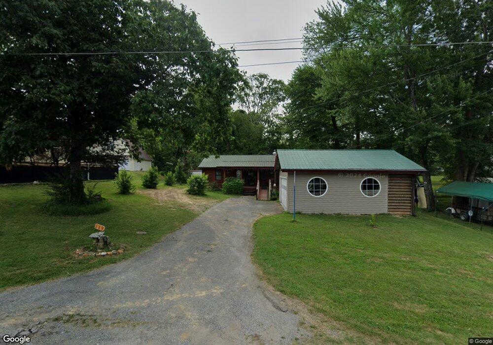
119 S Carson St Oneida, TN 37841
Estimated Value: $138,732 - $191,000
Studio
1
Bath
960
Sq Ft
$159/Sq Ft
Est. Value
About This Home
This home is located at 119 S Carson St, Oneida, TN 37841 and is currently estimated at $152,683, approximately $159 per square foot. 119 S Carson St is a home located in Scott County with nearby schools including Oneida Elementary School, Oneida Middle School, and Oneida High School.
Ownership History
Date
Name
Owned For
Owner Type
Purchase Details
Closed on
Feb 20, 2019
Sold by
Sexton Kenneth
Bought by
Bellisle Scott G and Bellisle Suwana
Current Estimated Value
Purchase Details
Closed on
May 10, 2012
Sold by
Sharp Theodore O And
Bought by
Sexton Kenneth
Purchase Details
Closed on
May 24, 1995
Bought by
Sharp Theodore O and Sharp Joseph
Purchase Details
Closed on
Mar 24, 1995
Bought by
Newport Ernie & Janet
Purchase Details
Closed on
Dec 18, 1937
Bought by
Smith Thelma S
Create a Home Valuation Report for This Property
The Home Valuation Report is an in-depth analysis detailing your home's value as well as a comparison with similar homes in the area
Home Values in the Area
Average Home Value in this Area
Purchase History
| Date | Buyer | Sale Price | Title Company |
|---|---|---|---|
| Bellisle Scott G | $75,000 | -- | |
| Sexton Kenneth | $34,000 | -- | |
| Sharp Theodore O | $34,000 | -- | |
| Newport Ernie & Janet | $20,000 | -- | |
| Smith Thelma S | -- | -- |
Source: Public Records
Tax History
| Year | Tax Paid | Tax Assessment Tax Assessment Total Assessment is a certain percentage of the fair market value that is determined by local assessors to be the total taxable value of land and additions on the property. | Land | Improvement |
|---|---|---|---|---|
| 2025 | $1,028 | $32,950 | $2,500 | $30,450 |
| 2024 | $1,028 | $32,950 | $2,500 | $30,450 |
| 2023 | $1,059 | $32,950 | $2,500 | $30,450 |
| 2022 | $842 | $18,900 | $2,500 | $16,400 |
| 2021 | $717 | $18,900 | $2,500 | $16,400 |
| 2020 | $558 | $18,900 | $2,500 | $16,400 |
| 2019 | $753 | $18,900 | $2,500 | $16,400 |
| 2018 | $753 | $18,900 | $2,500 | $16,400 |
| 2017 | $774 | $19,450 | $2,500 | $16,950 |
| 2016 | $757 | $19,450 | $2,500 | $16,950 |
| 2015 | $660 | $19,450 | $2,500 | $16,950 |
| 2014 | $660 | $17,475 | $2,500 | $14,975 |
Source: Public Records
Map
Nearby Homes
- 108 W 1st Ave
- 18741 Alberta St
- 0 Marlow St Unit 1321095
- 500 Stanley St
- Tbd Grave Hill Rd
- 216 Lafayette St
- 342 Vine Ave
- 191 Ashley Ln
- 202 Chester St
- 942 W 3rd Ave
- 458 Slaven Ln
- 19421 Alberta St
- 0 Buffalo Rd Unit 23634322
- 0 Buffalo Rd Unit 1310923
- 35 Buffalo Rd
- 590 Litton Rd
- 120 Wright St
- 0 Eli Ln
- 135 Harold Brooks Ln
- 121 Sexton Ln
Your Personal Tour Guide
Ask me questions while you tour the home.