119 Self Rd Crossett, AR 71635
Estimated Value: $85,000 - $97,000
--
Bed
--
Bath
1,216
Sq Ft
$75/Sq Ft
Est. Value
About This Home
This home is located at 119 Self Rd, Crossett, AR 71635 and is currently estimated at $91,000, approximately $74 per square foot. 119 Self Rd is a home with nearby schools including Noble/Allbritton Elementary School, Allbritton Elementary School, and Hamburg Middle School.
Ownership History
Date
Name
Owned For
Owner Type
Purchase Details
Closed on
Dec 8, 2020
Sold by
Jordan Sammy
Bought by
Collier Allen D and Coller Joyce L
Current Estimated Value
Purchase Details
Closed on
Jul 26, 2002
Bought by
Jordan Sammy
Purchase Details
Closed on
Feb 8, 2001
Bought by
Jordan Sammy
Purchase Details
Closed on
May 21, 1998
Bought by
Self Ronnie and Self Virginia
Purchase Details
Closed on
Apr 29, 1996
Bought by
Self Ronnie and Self Virginia
Purchase Details
Closed on
Oct 4, 1993
Bought by
Flemister Vernon and Flemister Barbara
Purchase Details
Closed on
Jun 2, 1988
Bought by
Flemister Vernon
Create a Home Valuation Report for This Property
The Home Valuation Report is an in-depth analysis detailing your home's value as well as a comparison with similar homes in the area
Home Values in the Area
Average Home Value in this Area
Purchase History
| Date | Buyer | Sale Price | Title Company |
|---|---|---|---|
| Collier Allen D | $20,000 | None Available | |
| Collier Allen D | $20,000 | None Listed On Document | |
| Jordan Sammy | -- | -- | |
| Jordan Sammy | $22,000 | -- | |
| Self Ronnie | -- | -- | |
| Self Ronnie | $15,000 | -- | |
| Flemister Vernon | -- | -- | |
| Flemister Vernon | -- | -- |
Source: Public Records
Tax History Compared to Growth
Tax History
| Year | Tax Paid | Tax Assessment Tax Assessment Total Assessment is a certain percentage of the fair market value that is determined by local assessors to be the total taxable value of land and additions on the property. | Land | Improvement |
|---|---|---|---|---|
| 2025 | $400 | $8,540 | $2,410 | $6,130 |
| 2024 | $376 | $8,540 | $2,410 | $6,130 |
| 2023 | $344 | $8,540 | $2,410 | $6,130 |
| 2022 | $313 | $6,690 | $1,730 | $4,960 |
| 2021 | $313 | $6,690 | $1,730 | $4,960 |
| 2020 | $313 | $8,860 | $3,900 | $4,960 |
| 2019 | $415 | $8,860 | $3,900 | $4,960 |
| 2018 | $379 | $8,860 | $3,900 | $4,960 |
| 2017 | $378 | $8,840 | $3,900 | $4,940 |
| 2016 | $309 | $7,230 | $3,900 | $3,330 |
| 2015 | $309 | $7,230 | $3,900 | $3,330 |
| 2014 | $309 | $7,230 | $3,900 | $3,330 |
Source: Public Records
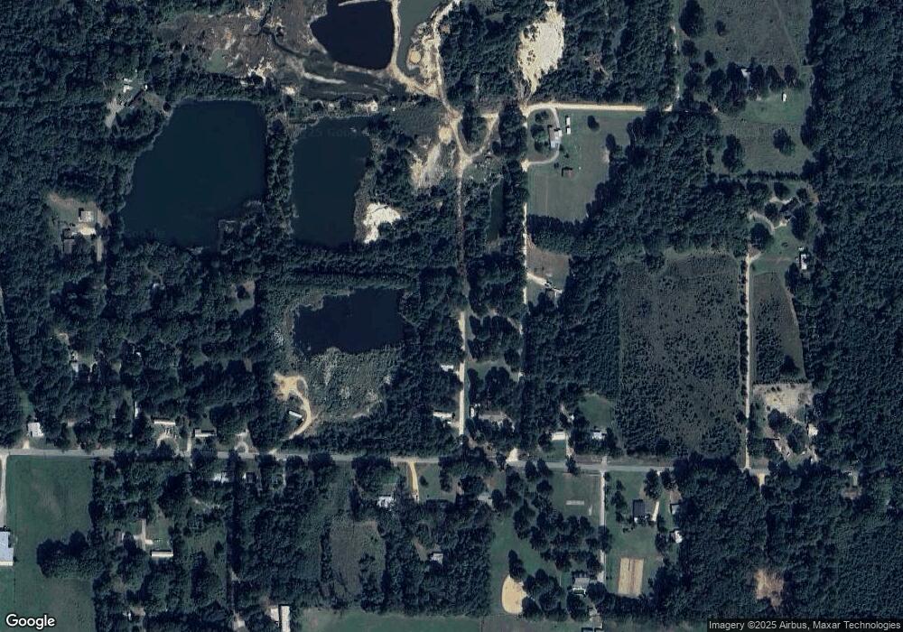
Map
Nearby Homes
- 359 Binns Loop
- 321 Binns Loop
- 369 Binns Loop
- 339 Binns Loop
- 317 Binns Loop
- 373 Binns Loop
- 302 Binns Loop
- 377 Binns Loop
- 209 Binns Loop
- 383 Binns Loop
- 387 Binns Loop
- 121 Frisby Rd
- 132 Flemister Rd
- 388 Binns Loop
- 120 Miles Rd
- 391 Binns Loop
- 291 Binns Loop
- 106 Fagen Elton Rd
- 110 Fagen Elton Rd
- 117 Fagen Elton Rd