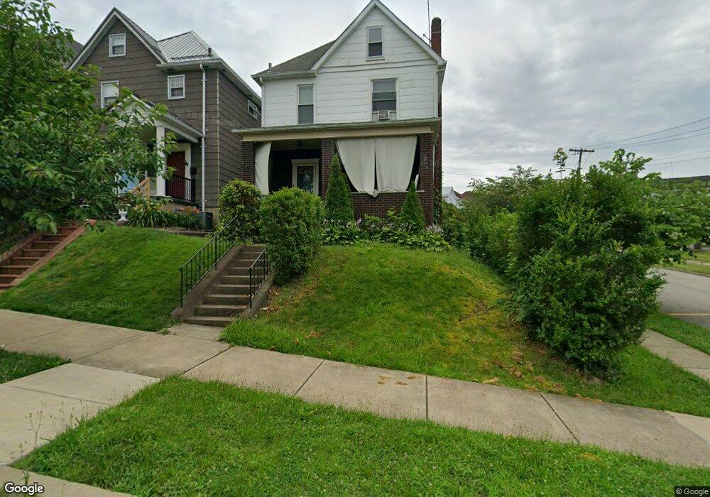
119 W Adams Ave Vandergrift, PA 15690
Estimated Value: $105,057 - $177,000
--
Bed
--
Bath
--
Sq Ft
3,223
Sq Ft Lot
About This Home
This home is located at 119 W Adams Ave, Vandergrift, PA 15690 and is currently estimated at $132,264. 119 W Adams Ave is a home located in Westmoreland County with nearby schools including Kiski Area High School.
Ownership History
Date
Name
Owned For
Owner Type
Purchase Details
Closed on
Aug 24, 2015
Sold by
Benson Michael E and Lingren Jackie S
Bought by
Wolfgang Enterprises Llc
Current Estimated Value
Create a Home Valuation Report for This Property
The Home Valuation Report is an in-depth analysis detailing your home's value as well as a comparison with similar homes in the area
Home Values in the Area
Average Home Value in this Area
Purchase History
| Date | Buyer | Sale Price | Title Company |
|---|---|---|---|
| Wolfgang Enterprises Llc | $8,325 | None Available |
Source: Public Records
Tax History Compared to Growth
Tax History
| Year | Tax Paid | Tax Assessment Tax Assessment Total Assessment is a certain percentage of the fair market value that is determined by local assessors to be the total taxable value of land and additions on the property. | Land | Improvement |
|---|---|---|---|---|
| 2025 | $1,730 | $10,600 | $2,010 | $8,590 |
| 2024 | $1,647 | $10,600 | $2,010 | $8,590 |
| 2023 | $1,517 | $10,600 | $2,010 | $8,590 |
| 2022 | $1,485 | $10,600 | $2,010 | $8,590 |
| 2021 | $1,485 | $10,600 | $2,010 | $8,590 |
| 2020 | $1,481 | $10,600 | $2,010 | $8,590 |
| 2019 | $1,476 | $10,600 | $2,010 | $8,590 |
| 2018 | $1,455 | $10,600 | $2,010 | $8,590 |
| 2017 | $1,423 | $10,600 | $2,010 | $8,590 |
| 2016 | $1,404 | $10,600 | $2,010 | $8,590 |
| 2015 | $1,404 | $10,600 | $2,010 | $8,590 |
| 2014 | $1,397 | $10,600 | $2,010 | $8,590 |
Source: Public Records
Map
Nearby Homes
- 311 Elm St
- 404 1/2 Franklin Ave
- 315 Spruce St
- 314 Linden St
- 323 Sycamore St
- 419 Vandergrift Ln
- 517 Sycamore St
- 325 -1/2 Quay St
- 410 Longfellow St
- 608 Kennedy Ave
- 716 Kennedy Ave
- 154 Jefferson Ave Unit 6
- 112 Farragut Ave Unit 3
- 107 Sumner Ave
- 316 1/2 Emerson St
- 533A Walnut St
- 431 Longfellow St
- 439 Longfellow St
- 528 Longfellow St
- 800 Wallace St
- 115 W Adams Ave
- 113 W Adams Ave
- 307 Jackson Ave
- 111 W Adams Ave
- 312 Jackson Ave
- 120 W Adams Ave
- 311 Jackson Ave
- 311 Jackson Ave
- 118 W Adams Ave
- 109 W Adams Ave
- 314 Jackson Ave
- 116 W Adams Ave
- 313 Jackson Ave
- 114 W Adams Ave
- 316 Jackson Ave
- 107 W Adams Ave
- 315 Jackson Ave
- 315 Jackson Ave
- 112 W Adams Ave
- 318 Jackson Ave