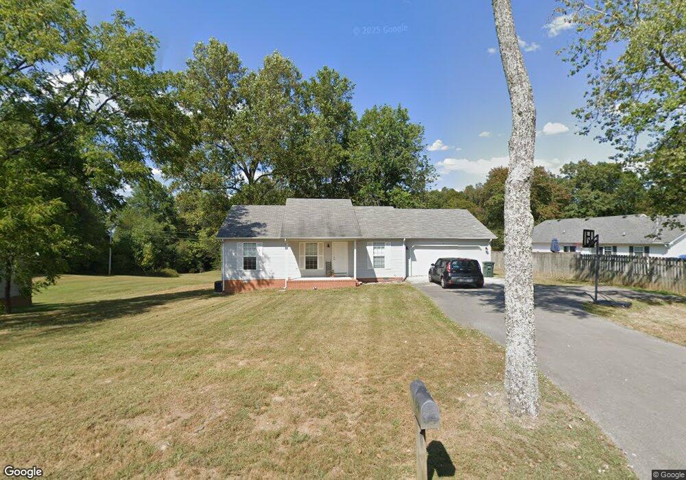
1190 Lancaster Rd Cookeville, TN 38506
Estimated Value: $254,214 - $316,000
--
Bed
2
Baths
1,420
Sq Ft
$193/Sq Ft
Est. Value
About This Home
This home is located at 1190 Lancaster Rd, Cookeville, TN 38506 and is currently estimated at $273,554, approximately $192 per square foot. 1190 Lancaster Rd is a home located in Putnam County with nearby schools including Prescott South Elementary School, Cookeville High School, and Prescott South Middle School.
Ownership History
Date
Name
Owned For
Owner Type
Purchase Details
Closed on
Jun 18, 2025
Sold by
Tays Charlotte
Bought by
Charlotte Tays Family Revocable Trust and Tays
Current Estimated Value
Purchase Details
Closed on
Jan 17, 2003
Bought by
Tayes Clarence and Tayes Charlotte
Purchase Details
Closed on
Jul 28, 1988
Bought by
Jones Jeralean H
Create a Home Valuation Report for This Property
The Home Valuation Report is an in-depth analysis detailing your home's value as well as a comparison with similar homes in the area
Home Values in the Area
Average Home Value in this Area
Purchase History
| Date | Buyer | Sale Price | Title Company |
|---|---|---|---|
| Charlotte Tays Family Revocable Trust | -- | None Listed On Document | |
| Charlotte Tays Family Revocable Trust | -- | None Listed On Document | |
| Tayes Clarence | $21,400 | -- | |
| Jones Jeralean H | -- | -- |
Source: Public Records
Tax History Compared to Growth
Tax History
| Year | Tax Paid | Tax Assessment Tax Assessment Total Assessment is a certain percentage of the fair market value that is determined by local assessors to be the total taxable value of land and additions on the property. | Land | Improvement |
|---|---|---|---|---|
| 2024 | $748 | $28,125 | $3,375 | $24,750 |
| 2023 | $748 | $28,125 | $3,375 | $24,750 |
| 2022 | $695 | $28,125 | $3,375 | $24,750 |
| 2021 | $695 | $28,125 | $3,375 | $24,750 |
| 2020 | $742 | $28,125 | $3,375 | $24,750 |
| 2019 | $742 | $25,350 | $3,375 | $21,975 |
| 2018 | $692 | $25,350 | $3,375 | $21,975 |
| 2017 | $692 | $25,350 | $3,375 | $21,975 |
| 2016 | $692 | $25,350 | $3,375 | $21,975 |
| 2015 | $711 | $25,350 | $3,375 | $21,975 |
| 2014 | $710 | $25,326 | $0 | $0 |
Source: Public Records
Map
Nearby Homes
- 1916 Rivers Edge Dr
- 1929 Rivers Edge Dr
- 1734 Hickory Cove
- 1757 Bob Bullock Rd
- 5416 Timberwalk Ln
- 1454 Bradshaw Blvd
- CALI Plan at Timberwalk
- BELFORT Plan at Timberwalk
- ARIA Plan at Timberwalk
- PENWELL Plan at Timberwalk
- HAYDEN Plan at Timberwalk
- 5301 Lovelady Rd
- 5448 Mason Way
- 5446 Mason Way
- 5444 Mason Way
- 5449 Mason Way
- 5450 Mason Way
- 5447 Mason Way
- 5443 Mason Way
- 250 S Lovelady Rd
- 1182 Lancaster Rd
- 5895 Boatman Ln
- 5887 Boatman Ln
- 5879 Boatman Ln
- 5865 Boatman Ln
- 5851 Boatman Ln
- 1020 Lancaster Rd
- 6100 Boatman Ln
- 999 Lancaster Rd
- 998 Lancaster Rd
- 5747 Dow Huddleston Rd
- 5712 Boatman Ln
- 6.04AC Dow Huddleston Rd
- 5.82AC Dow Huddleston Rd
- 5.26AC Dow Huddleston Rd
- 5.15AC Dow Huddleston Rd
- 0 Dow Huddleston Rd
- 5655 Dow Huddleston Rd
- 897 Lancaster Rd
- 5611 Dow Huddleston Rd