11905 Butternut Way Nevada City, CA 95959
Estimated Value: $637,652 - $913,000
4
Beds
3
Baths
2,448
Sq Ft
$308/Sq Ft
Est. Value
About This Home
This home is located at 11905 Butternut Way, Nevada City, CA 95959 and is currently estimated at $752,913, approximately $307 per square foot. 11905 Butternut Way is a home located in Nevada County with nearby schools including Deer Creek Elementary School, Seven Hills Intermediate School, and Twin Ridges Home Study Charter School.
Ownership History
Date
Name
Owned For
Owner Type
Purchase Details
Closed on
Sep 18, 2003
Sold by
Truman Kirsten C and Tovani David A
Bought by
Tovani David A
Current Estimated Value
Purchase Details
Closed on
Jul 14, 1999
Sold by
Casey Kevin J and Casey Mary S
Bought by
Tovani David A and Truman Kirsten C
Home Financials for this Owner
Home Financials are based on the most recent Mortgage that was taken out on this home.
Original Mortgage
$272,000
Outstanding Balance
$75,227
Interest Rate
7.4%
Mortgage Type
Purchase Money Mortgage
Estimated Equity
$677,686
Create a Home Valuation Report for This Property
The Home Valuation Report is an in-depth analysis detailing your home's value as well as a comparison with similar homes in the area
Home Values in the Area
Average Home Value in this Area
Purchase History
| Date | Buyer | Sale Price | Title Company |
|---|---|---|---|
| Tovani David A | -- | -- | |
| Tovani David A | $340,000 | California Land Title Co |
Source: Public Records
Mortgage History
| Date | Status | Borrower | Loan Amount |
|---|---|---|---|
| Open | Tovani David A | $272,000 | |
| Closed | Tovani David A | $34,000 |
Source: Public Records
Tax History Compared to Growth
Tax History
| Year | Tax Paid | Tax Assessment Tax Assessment Total Assessment is a certain percentage of the fair market value that is determined by local assessors to be the total taxable value of land and additions on the property. | Land | Improvement |
|---|---|---|---|---|
| 2025 | $5,537 | $522,553 | $130,634 | $391,919 |
| 2024 | $5,427 | $512,308 | $128,073 | $384,235 |
| 2023 | $5,427 | $502,263 | $125,562 | $376,701 |
| 2022 | $5,315 | $492,415 | $123,100 | $369,315 |
| 2021 | $5,175 | $482,761 | $120,687 | $362,074 |
| 2020 | $5,162 | $477,812 | $119,450 | $358,362 |
| 2019 | $5,055 | $468,444 | $117,108 | $351,336 |
| 2018 | $4,955 | $459,260 | $114,812 | $344,448 |
| 2017 | $4,858 | $450,256 | $112,561 | $337,695 |
| 2016 | $4,680 | $441,428 | $110,354 | $331,074 |
| 2015 | $4,612 | $434,798 | $108,697 | $326,101 |
| 2014 | -- | $426,282 | $106,568 | $319,714 |
Source: Public Records
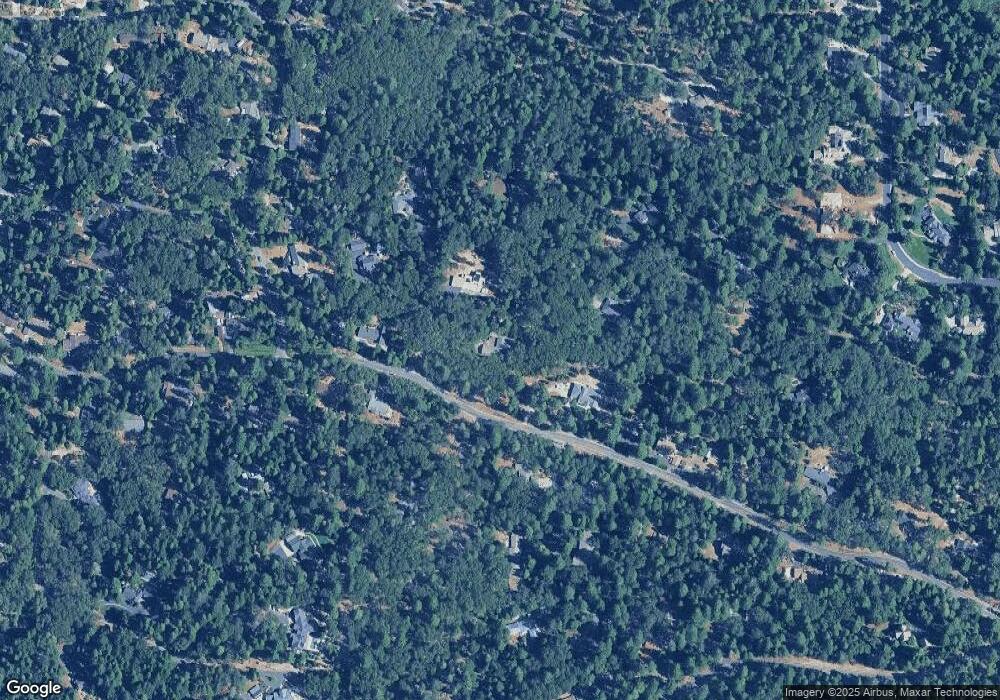
Map
Nearby Homes
- 13100 Banner Lava Cap Rd
- 13027 Robin Rd
- 13136 Woodstock Dr
- 12952 Woodpecker Way
- 12786 Mayflower Dr
- 13558 Greenstone Ct
- 13722 Saint Ledger Forest Rd
- 11582 Winter Moon Way
- 13712 Altair Dr
- 13015 Lee Ln
- 13625 Pegasus Place
- 13837 Gemini Ct
- 13966 Climbing Way
- 12259 Echo Dr
- 13685 Idaho Maryland Rd
- 12450 Hill Rd
- 12468 Hill Rd
- 12726 Valley View Rd
- 12724 Valley View Rd
- 11352 Caroline Ln
- 11892 Butternut Way
- 13039 Banner Lava Cap Rd
- 11966 Banner Ct
- 11800 Whisperwood Way
- 11922 Butternut Way
- 13164 Banner Lava Cap Rd
- 11830 Butternut Way
- 11963 Banner Ct
- 11930 Butternut Way
- 13136 Mayflower Dr
- 13124 Mayflower Dr
- 12989 Banner Lava Cap Rd
- 13206 Banner Lava Cap Rd
- 13098 Mayflower Dr
- 11770 Whisperwood Way
- 12969 Banner Lava Cap Rd
- 11897 Banner Ct
- 11882 Banner Ct