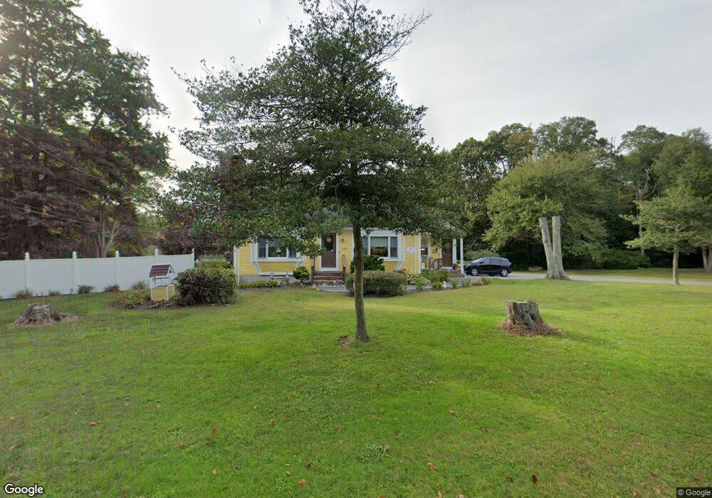
1191 Main Rd Westport, MA 02790
Westport Point NeighborhoodEstimated Value: $677,574 - $851,000
3
Beds
2
Baths
2,080
Sq Ft
$367/Sq Ft
Est. Value
About This Home
This home is located at 1191 Main Rd, Westport, MA 02790 and is currently estimated at $762,894, approximately $366 per square foot. 1191 Main Rd is a home located in Bristol County with nearby schools including Alice A. Macomber Primary School, Westport Elementary School, and Westport Middle-High School.
Ownership History
Date
Name
Owned For
Owner Type
Purchase Details
Closed on
Oct 16, 2007
Sold by
Patterson Linda and Marshall Michelle
Bought by
Avila Kenneth J and Avila Madeleine A
Current Estimated Value
Home Financials for this Owner
Home Financials are based on the most recent Mortgage that was taken out on this home.
Original Mortgage
$340,000
Outstanding Balance
$215,362
Interest Rate
6.49%
Mortgage Type
Purchase Money Mortgage
Estimated Equity
$547,532
Purchase Details
Closed on
Nov 17, 1999
Sold by
Trecida Richard M and Trecida Vivian A
Bought by
Patterson Linda and Marshall Michelle
Create a Home Valuation Report for This Property
The Home Valuation Report is an in-depth analysis detailing your home's value as well as a comparison with similar homes in the area
Home Values in the Area
Average Home Value in this Area
Purchase History
| Date | Buyer | Sale Price | Title Company |
|---|---|---|---|
| Avila Kenneth J | $435,000 | -- | |
| Patterson Linda | $279,000 | -- |
Source: Public Records
Mortgage History
| Date | Status | Borrower | Loan Amount |
|---|---|---|---|
| Open | Patterson Linda | $340,000 | |
| Previous Owner | Patterson Linda | $218,000 |
Source: Public Records
Tax History
| Year | Tax Paid | Tax Assessment Tax Assessment Total Assessment is a certain percentage of the fair market value that is determined by local assessors to be the total taxable value of land and additions on the property. | Land | Improvement |
|---|---|---|---|---|
| 2025 | $3,737 | $501,600 | $215,000 | $286,600 |
| 2024 | $3,710 | $480,000 | $199,200 | $280,800 |
| 2023 | $3,386 | $414,900 | $176,600 | $238,300 |
| 2022 | $3,300 | $389,200 | $176,600 | $212,600 |
| 2021 | $3,247 | $376,700 | $160,600 | $216,100 |
| 2020 | $3,121 | $370,200 | $154,100 | $216,100 |
| 2019 | $2,953 | $357,100 | $154,100 | $203,000 |
| 2018 | $2,958 | $362,100 | $160,400 | $201,700 |
| 2017 | $2,802 | $351,600 | $160,400 | $191,200 |
| 2016 | $2,776 | $350,900 | $160,400 | $190,500 |
| 2015 | $2,654 | $334,700 | $164,000 | $170,700 |
Source: Public Records
Map
Nearby Homes
- 101 Adamsville Rd
- 920 Drift Rd
- 923 Drift Rd
- 25 Quail Trail
- 17 Quail Trail
- 8 Village Way
- 7 Taber Ln
- 408 Hixbridge Rd
- 640 Main Rd
- 1 Puddingstone Cir
- 2 Olin Howland Way
- 17 Robbins St
- 612 Drift Rd
- 245 John Dyer Rd
- 1282 East Rd
- 164 Stoney Hollow Rd
- 116 Amy Hart Path
- 17 Amy Hart Path
- 0 Sodom Rd Unit 73484265
- 978 Sodom Rd
Your Personal Tour Guide
Ask me questions while you tour the home.