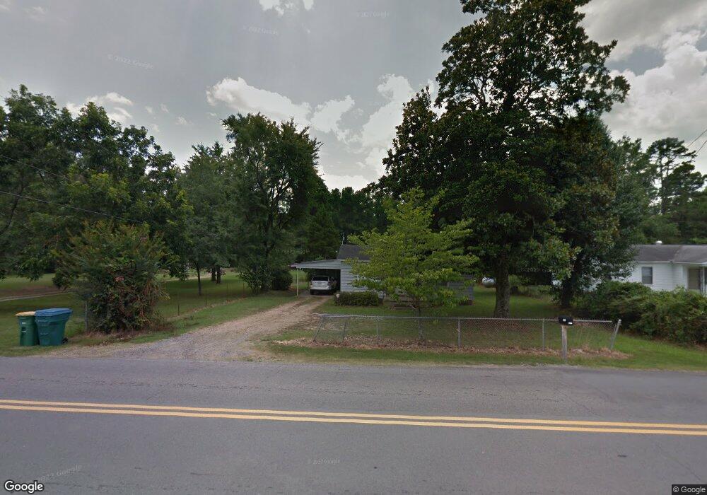
11915 W 36th St Little Rock, AR 72211
Western Little Rock NeighborhoodEstimated Value: $120,142 - $268,000
--
Bed
1
Bath
1,264
Sq Ft
$152/Sq Ft
Est. Value
About This Home
This home is located at 11915 W 36th St, Little Rock, AR 72211 and is currently estimated at $191,786, approximately $151 per square foot. 11915 W 36th St is a home located in Pulaski County with nearby schools including J.A. Fair K8 Preparatory School, Henderson Middle School, and Little Rock Southwest High School.
Ownership History
Date
Name
Owned For
Owner Type
Purchase Details
Closed on
Dec 22, 2014
Sold by
Nugent Matthew Lee and Estate Of Arthur Lee Nugent
Bought by
Nugent Matthe Wlee and Matthew Lee Nugent Living Trus
Current Estimated Value
Purchase Details
Closed on
May 9, 2002
Sold by
South Emogene
Bought by
Nugent Arthur
Home Financials for this Owner
Home Financials are based on the most recent Mortgage that was taken out on this home.
Original Mortgage
$36,000
Interest Rate
7.1%
Create a Home Valuation Report for This Property
The Home Valuation Report is an in-depth analysis detailing your home's value as well as a comparison with similar homes in the area
Home Values in the Area
Average Home Value in this Area
Purchase History
| Date | Buyer | Sale Price | Title Company |
|---|---|---|---|
| Nugent Matthe Wlee | -- | None Available | |
| Nugent Arthur | $47,000 | American Abstract & Title Co |
Source: Public Records
Mortgage History
| Date | Status | Borrower | Loan Amount |
|---|---|---|---|
| Closed | Nugent Arthur | $36,000 |
Source: Public Records
Tax History Compared to Growth
Tax History
| Year | Tax Paid | Tax Assessment Tax Assessment Total Assessment is a certain percentage of the fair market value that is determined by local assessors to be the total taxable value of land and additions on the property. | Land | Improvement |
|---|---|---|---|---|
| 2024 | $889 | $20,002 | $2,812 | $17,190 |
| 2023 | $889 | $20,002 | $2,812 | $17,190 |
| 2022 | $848 | $20,002 | $2,812 | $17,190 |
| 2021 | $814 | $11,540 | $670 | $10,870 |
| 2020 | $433 | $11,540 | $670 | $10,870 |
| 2019 | $433 | $11,540 | $670 | $10,870 |
| 2018 | $458 | $11,540 | $670 | $10,870 |
| 2017 | $458 | $11,540 | $670 | $10,870 |
| 2016 | $422 | $11,030 | $2,550 | $8,480 |
| 2015 | $773 | $11,030 | $2,550 | $8,480 |
| 2014 | $773 | $11,030 | $2,550 | $8,480 |
Source: Public Records
Map
Nearby Homes
- 12 Summer Ridge Ct
- 2 Cottonwood Ct
- 10 Summerhill Ct
- 00 S Shackleford Rd
- 2612 Peach Tree Dr
- 12425 Brodie Creek Trail
- 000 Colonel Glenn Ct
- 0 Colonel Glenn Ct
- 3818 S Shackleford Rd
- 12 Woodfern Dr
- 9 Winterfern Cove
- 2806 Woodsgate Dr
- 11612 Shady Creek Dr
- 2820 Mossy Creek Dr
- 11701 Shady Creek Dr
- 2904 Sweetgrass Dr
- 2905 Woodsgate Dr
- 2101 Hickorynut Ct
- 12700 Lawson Rd
- 13320 Colonel Glenn Rd
- 11921 W 36th St
- 11901 W 36th St
- 11821 W 36th St
- 3701 & 3707 Bowman Rd
- 3701 S Bowman Rd
- 3600 S Bowman Rd
- 11801 W 36th St
- 3700 S Bowman Rd
- 3707 S Bowman Rd
- 11701 W 36th St
- 3510 S Bowman Rd
- 3805 S Bowman Rd
- 3801 S Bowman Rd
- 11623 W 36th St
- 11624 W 36th St
- 3500 S Bowman Rd
- 3321 S Bowman Rd
- 11524 W 36th St
- 3710 S Bowman Rd
- 3416 S Bowman Rd