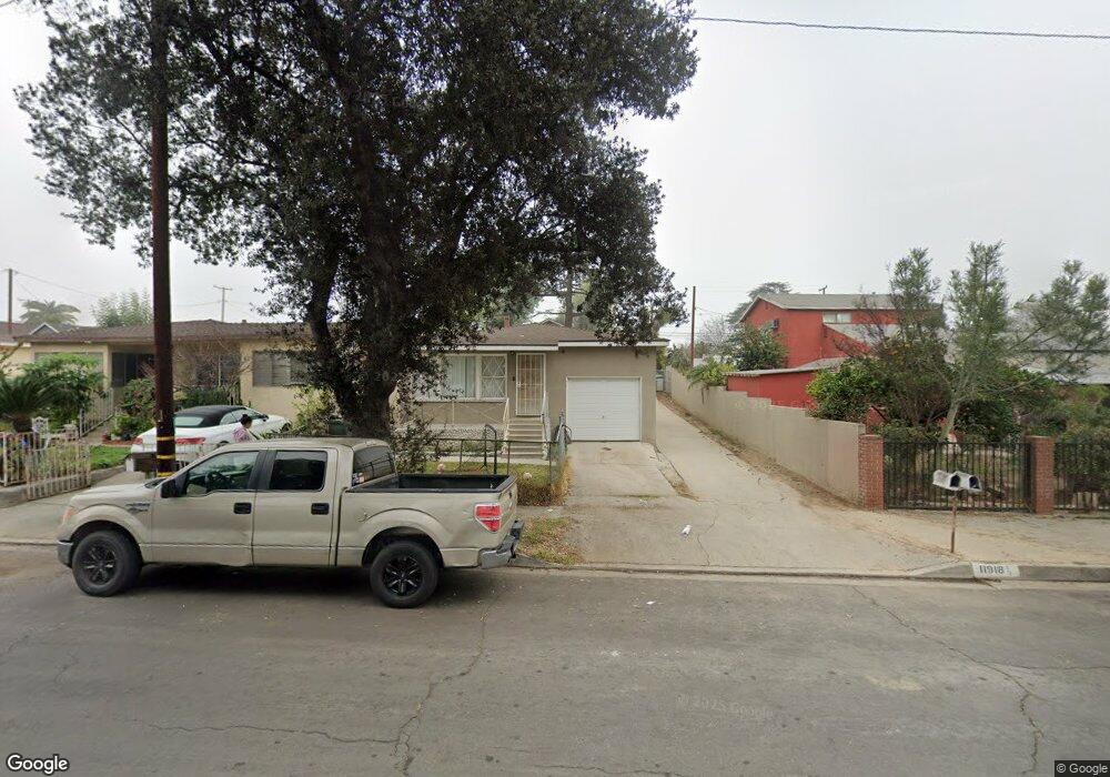
11918 Fidel Ave Whittier, CA 90605
South Whittier NeighborhoodEstimated Value: $903,000 - $1,022,214
5
Beds
2
Baths
1,864
Sq Ft
$506/Sq Ft
Est. Value
About This Home
This home is located at 11918 Fidel Ave, Whittier, CA 90605 and is currently estimated at $944,054, approximately $506 per square foot. 11918 Fidel Ave is a home located in Los Angeles County with nearby schools including California High School and St. Gregory The Great.
Ownership History
Date
Name
Owned For
Owner Type
Purchase Details
Closed on
Sep 10, 2016
Sold by
Tafoya Marcos
Bought by
Tafoya Marcos and Marcos Tafoya Revocable Trust
Current Estimated Value
Purchase Details
Closed on
Jan 26, 2006
Sold by
Wenzel Daniel L
Bought by
Tafoya Marcos
Home Financials for this Owner
Home Financials are based on the most recent Mortgage that was taken out on this home.
Original Mortgage
$484,000
Outstanding Balance
$271,665
Interest Rate
6.15%
Mortgage Type
New Conventional
Estimated Equity
$672,389
Create a Home Valuation Report for This Property
The Home Valuation Report is an in-depth analysis detailing your home's value as well as a comparison with similar homes in the area
Home Values in the Area
Average Home Value in this Area
Purchase History
| Date | Buyer | Sale Price | Title Company |
|---|---|---|---|
| Tafoya Marcos | -- | None Available | |
| Tafoya Marcos | $605,000 | Southland Title Corporation |
Source: Public Records
Mortgage History
| Date | Status | Borrower | Loan Amount |
|---|---|---|---|
| Open | Tafoya Marcos | $484,000 |
Source: Public Records
Tax History Compared to Growth
Tax History
| Year | Tax Paid | Tax Assessment Tax Assessment Total Assessment is a certain percentage of the fair market value that is determined by local assessors to be the total taxable value of land and additions on the property. | Land | Improvement |
|---|---|---|---|---|
| 2025 | $10,226 | $826,766 | $537,059 | $289,707 |
| 2024 | $10,226 | $810,556 | $526,529 | $284,027 |
| 2023 | $9,737 | $794,663 | $516,205 | $278,458 |
| 2022 | $8,811 | $692,000 | $467,500 | $224,500 |
| 2021 | $8,787 | $692,000 | $467,500 | $224,500 |
| 2020 | $8,038 | $628,420 | $424,300 | $204,120 |
| 2019 | $7,567 | $580,420 | $391,900 | $188,520 |
| 2018 | $6,683 | $518,420 | $350,000 | $168,420 |
| 2016 | $5,571 | $430,000 | $300,000 | $130,000 |
| 2015 | $6,194 | $490,000 | $320,000 | $170,000 |
| 2014 | $4,863 | $370,000 | $265,000 | $105,000 |
Source: Public Records
Map
Nearby Homes
- 11820 Painter Ave
- 13272 Beaty Ave
- 11828 Louis Ave
- 11518 Fidel Ave
- 11428 Painter Ave
- 13213 Leffingwell Rd
- 13481 Meyer Rd
- 13513 Leffingwell Rd
- 13531 Utica St
- 13538 Lukay St
- 13703 Placid Dr
- 11116 Leland Ave
- 10849 Inez St
- 12309 Ramsey Dr
- 13071 Miller Ave
- 13857 Leffingwell Rd
- 12947 Foster Rd
- 12818 Duffield Ave
- 11531 Sunnybrook Ln
- 11525 Sunnybrook Ln
- 11914 Fidel Ave
- 11928 Fidel Ave
- 11924 Fidel Ave
- 11910 Fidel Ave
- 12000 Fidel Ave
- 11900 Fidel Ave
- 12002 Fidel Ave
- 12010 Fidel Ave
- 11923 Laurel Ave
- 11832 Fidel Ave
- 11919 Laurel Ave
- 12012 Fidel Ave
- 11925 Fidel Ave
- 12003 Laurel Ave
- 11935 Fidel Ave
- 11913 Laurel Ave
- 11927 Laurel Ave
- 11907 Laurel Ave
- 11824 Fidel Ave
- 12020 Fidel Ave