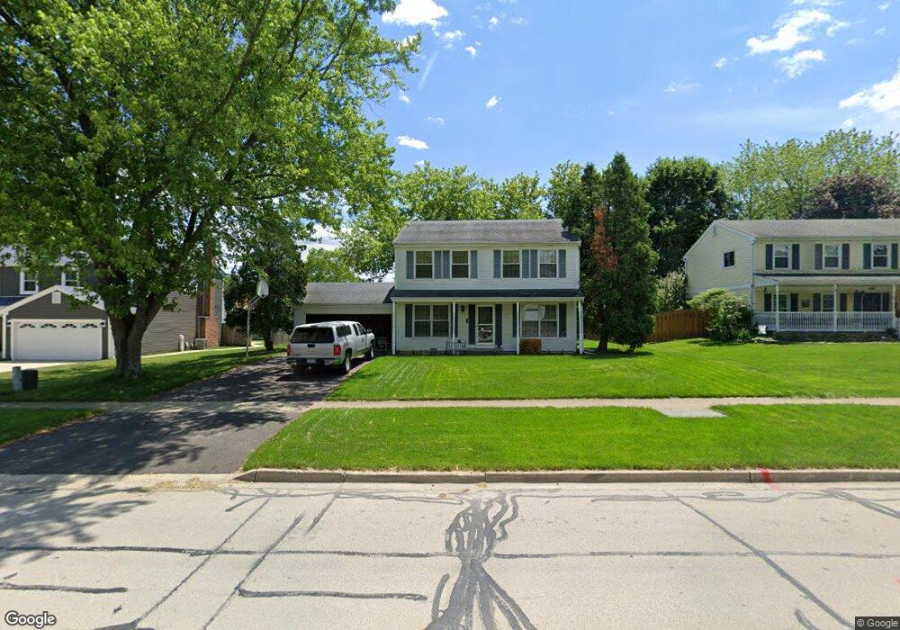
1192 Giese Rd Unit 1 Batavia, IL 60510
Southeast Batavia NeighborhoodEstimated Value: $387,835 - $453,000
3
Beds
--
Bath
1,860
Sq Ft
$226/Sq Ft
Est. Value
About This Home
This home is located at 1192 Giese Rd Unit 1, Batavia, IL 60510 and is currently estimated at $420,459, approximately $226 per square foot. 1192 Giese Rd Unit 1 is a home located in Kane County with nearby schools including Hoover Wood Elementary School, Sam Rotolo Middle School, and Batavia Sr High School.
Ownership History
Date
Name
Owned For
Owner Type
Purchase Details
Closed on
Sep 29, 1995
Sold by
Land Jean M
Bought by
Mlejnek Tina M and Littlejohn Kim J
Current Estimated Value
Home Financials for this Owner
Home Financials are based on the most recent Mortgage that was taken out on this home.
Original Mortgage
$136,875
Outstanding Balance
$998
Interest Rate
8%
Estimated Equity
$419,461
Create a Home Valuation Report for This Property
The Home Valuation Report is an in-depth analysis detailing your home's value as well as a comparison with similar homes in the area
Home Values in the Area
Average Home Value in this Area
Purchase History
| Date | Buyer | Sale Price | Title Company |
|---|---|---|---|
| Mlejnek Tina M | $157,000 | -- |
Source: Public Records
Mortgage History
| Date | Status | Borrower | Loan Amount |
|---|---|---|---|
| Open | Mlejnek Tina M | $136,875 |
Source: Public Records
Tax History Compared to Growth
Tax History
| Year | Tax Paid | Tax Assessment Tax Assessment Total Assessment is a certain percentage of the fair market value that is determined by local assessors to be the total taxable value of land and additions on the property. | Land | Improvement |
|---|---|---|---|---|
| 2024 | $7,621 | $112,384 | $17,227 | $95,157 |
| 2023 | $7,380 | $102,000 | $15,635 | $86,365 |
| 2022 | $7,471 | $96,562 | $14,612 | $81,950 |
| 2021 | $7,143 | $91,580 | $13,858 | $77,722 |
| 2020 | $6,956 | $89,820 | $13,592 | $76,228 |
| 2019 | $6,822 | $86,640 | $13,111 | $73,529 |
| 2018 | $6,527 | $83,340 | $12,612 | $70,728 |
| 2017 | $6,805 | $80,592 | $12,196 | $68,396 |
| 2016 | $6,657 | $78,245 | $11,841 | $66,404 |
| 2015 | -- | $76,463 | $11,571 | $64,892 |
| 2014 | -- | $74,056 | $11,207 | $62,849 |
| 2013 | -- | $72,611 | $10,988 | $61,623 |
Source: Public Records
Map
Nearby Homes
- 1155 Hanover Dr
- 1332 Giese Rd Unit 2
- 1017 Willow Ln Unit 2
- 943 Orchard Ct
- 1136 Pine Ct
- 817 Woodland Hills Rd
- 621 Young Ave
- 2025 Gillenwater St
- 473 Bond Dr
- 1548 Wind Energy Pass
- 1580 Wind Energy Pass
- 3S201 S Raddant Rd
- 733 Wind Energy Pass
- Lot 4 Manchester Ave
- 1639 Bentz Way
- 304 Manchester Ave
- 860 S River St
- 1384 Foxglove Dr
- 1267 Foxglove Dr
- 1273 Foxglove Dr
- 1186 Giese Rd
- 1198 Giese Rd Unit 1
- 1187 Hanover Dr Unit 1
- 1179 Hanover Dr Unit 1
- 1195 Hanover Dr
- 1178 Giese Rd
- 1171 Hanover Dr
- 1161 Larkspur Ln
- 1170 Giese Rd
- 1181 Giese Rd
- 1208 Larkspur Ln Unit 1
- 1171 Giese Rd
- 1163 Hanover Dr
- 1216 Larkspur Ln
- 1151 Larkspur Ln
- 1186 Hanover Dr
- 1178 Hanover Dr Unit 1
- 1162 Giese Rd
- 34W144 Giese Rd
- 1315 Larkspur Ln