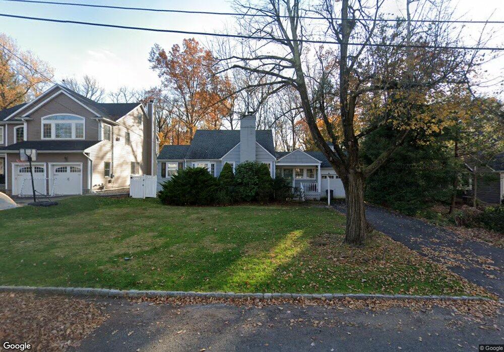
1192 Maple Hill Rd Scotch Plains, NJ 07076
Estimated Value: $555,443 - $1,404,000
--
Bed
--
Bath
1,132
Sq Ft
$758/Sq Ft
Est. Value
About This Home
This home is located at 1192 Maple Hill Rd, Scotch Plains, NJ 07076 and is currently estimated at $858,361, approximately $758 per square foot. 1192 Maple Hill Rd is a home located in Union County with nearby schools including William J. McGinn Elementary School, Terrill Middle School, and Scotch Plains-Fanwood High School.
Ownership History
Date
Name
Owned For
Owner Type
Purchase Details
Closed on
Oct 14, 2003
Sold by
Devito John
Bought by
Williams Elizabeth
Current Estimated Value
Home Financials for this Owner
Home Financials are based on the most recent Mortgage that was taken out on this home.
Original Mortgage
$284,000
Outstanding Balance
$130,710
Interest Rate
6.01%
Estimated Equity
$727,651
Purchase Details
Closed on
Sep 12, 1995
Sold by
Arribas Andres B and Arribas Barbara L
Bought by
Devito John L and Devito Kathleen A
Create a Home Valuation Report for This Property
The Home Valuation Report is an in-depth analysis detailing your home's value as well as a comparison with similar homes in the area
Home Values in the Area
Average Home Value in this Area
Purchase History
| Date | Buyer | Sale Price | Title Company |
|---|---|---|---|
| Williams Elizabeth | $355,000 | -- | |
| Devito John L | $235,000 | -- |
Source: Public Records
Mortgage History
| Date | Status | Borrower | Loan Amount |
|---|---|---|---|
| Open | Williams Elizabeth | $284,000 |
Source: Public Records
Tax History Compared to Growth
Tax History
| Year | Tax Paid | Tax Assessment Tax Assessment Total Assessment is a certain percentage of the fair market value that is determined by local assessors to be the total taxable value of land and additions on the property. | Land | Improvement |
|---|---|---|---|---|
| 2025 | $10,603 | $40,500 | $35,500 | $5,000 |
| 2024 | $10,290 | $90,100 | $35,500 | $54,600 |
| 2023 | $10,290 | $90,100 | $35,500 | $54,600 |
| 2022 | $10,168 | $90,100 | $35,500 | $54,600 |
| 2021 | $10,151 | $90,100 | $35,500 | $54,600 |
| 2020 | $10,102 | $90,100 | $35,500 | $54,600 |
| 2019 | $10,027 | $90,100 | $35,500 | $54,600 |
| 2018 | $9,859 | $90,100 | $35,500 | $54,600 |
| 2017 | $9,640 | $90,100 | $35,500 | $54,600 |
| 2016 | $9,454 | $90,100 | $35,500 | $54,600 |
| 2015 | $9,299 | $90,100 | $35,500 | $54,600 |
| 2014 | $8,993 | $90,100 | $35,500 | $54,600 |
Source: Public Records
Map
Nearby Homes
- 2116 Newark Ave
- 1933 Mary Ellen Ln
- 1933 W Broad St
- 2154 W Broad St
- 2212 Shady Ln
- 2 Brookside Ct
- 119 Lamberts Mill Rd
- 187 King St
- 345 La Grande Ave
- 120 S Martine Ave
- 5 Robin Rd
- 2219 North Ave Unit 6
- 2314 Longfellow Ave
- 21 Old South Ave
- 40 1st St
- 1466 Lamberts Mill Rd
- 314 Highgate Ave
- 36 2nd St
- 9 Timberline Dr
- 2286 Stocker Ln
- 1198 Maple Hill Rd
- 1186 Maple Hill Rd
- 1202 Maple Hill Rd
- 1180 Maple Hill Rd
- 2019 Hill Top Rd
- 2013 Hill Top Rd
- 1195 Maple Hill Rd
- 1208 Maple Hill Rd
- 2045 Meadowview Rd
- 1174 Maple Hill Rd
- 2011 Hill Top Rd
- 2025 Hill Top Rd
- 1203 Maple Hill Rd
- 2050 Meadowview Rd
- 2051 Meadowview Rd
- 2044 Newark Ave
- 1170 Maple Hill Rd
- 2041 Hill Top Rd
- 2010 Hill Top Rd
- 1209 Maple Hill Rd