11925 N 500 E Roanoke, IN 46783
Estimated Value: $386,000 - $494,800
4
Beds
3
Baths
3,714
Sq Ft
$119/Sq Ft
Est. Value
About This Home
This home is located at 11925 N 500 E, Roanoke, IN 46783 and is currently estimated at $442,200, approximately $119 per square foot. 11925 N 500 E is a home located in Huntington County with nearby schools including Roanoke Elementary School, Crestview Middle School, and Huntington North High School.
Ownership History
Date
Name
Owned For
Owner Type
Purchase Details
Closed on
Feb 23, 2012
Sold by
Wooten Melvin Ray and Wooten Peggy J
Bought by
Vining Ian C
Current Estimated Value
Home Financials for this Owner
Home Financials are based on the most recent Mortgage that was taken out on this home.
Original Mortgage
$218,312
Outstanding Balance
$150,424
Interest Rate
4.01%
Mortgage Type
FHA
Estimated Equity
$291,776
Purchase Details
Closed on
Sep 18, 2006
Sold by
Kowalski Robert F and Kowalski Mignon C
Bought by
Wooten Melvin Ray and Wooten Peggy J
Home Financials for this Owner
Home Financials are based on the most recent Mortgage that was taken out on this home.
Original Mortgage
$21,800
Interest Rate
6.58%
Mortgage Type
Stand Alone Second
Create a Home Valuation Report for This Property
The Home Valuation Report is an in-depth analysis detailing your home's value as well as a comparison with similar homes in the area
Home Values in the Area
Average Home Value in this Area
Purchase History
| Date | Buyer | Sale Price | Title Company |
|---|---|---|---|
| Vining Ian C | $224,000 | Metro Title Of In | |
| Vining Ian C | -- | Metropolitan Title Of Indian | |
| Wooten Melvin Ray | -- | None Available |
Source: Public Records
Mortgage History
| Date | Status | Borrower | Loan Amount |
|---|---|---|---|
| Open | Vining Ian C | $218,312 | |
| Previous Owner | Wooten Melvin Ray | $21,800 | |
| Previous Owner | Wooten Melvin Ray | $174,400 |
Source: Public Records
Tax History Compared to Growth
Tax History
| Year | Tax Paid | Tax Assessment Tax Assessment Total Assessment is a certain percentage of the fair market value that is determined by local assessors to be the total taxable value of land and additions on the property. | Land | Improvement |
|---|---|---|---|---|
| 2024 | $3,073 | $388,500 | $45,300 | $343,200 |
| 2023 | $2,687 | $338,200 | $45,300 | $292,900 |
| 2022 | $2,470 | $304,900 | $45,300 | $259,600 |
| 2021 | $2,346 | $271,200 | $34,600 | $236,600 |
| 2020 | $2,255 | $255,200 | $34,600 | $220,600 |
| 2019 | $1,896 | $239,100 | $34,600 | $204,500 |
| 2018 | $2,028 | $239,200 | $34,600 | $204,600 |
| 2017 | $1,833 | $241,500 | $34,600 | $206,900 |
| 2016 | $1,612 | $239,500 | $34,600 | $204,900 |
| 2014 | $1,563 | $231,600 | $34,600 | $197,000 |
| 2013 | $1,563 | $228,300 | $34,600 | $193,700 |
Source: Public Records
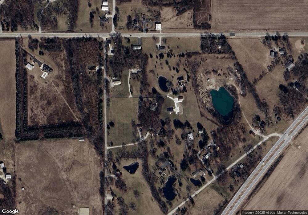
Map
Nearby Homes
- 4543 E 1200 N
- 7138 Tanglewood Creek Rd
- 3069 E 1200 N
- 7076 W Hamilton Rd S
- 13135 Ravine Trail
- tbd Kilsoquah
- 6120 E 900 S
- TBD Feighner Rd
- 1047 Stevens Ct
- 14612 Liberty Mills Rd
- 5134 Sandy River Cove
- 836 N Seminary St
- 10263 N 300 E
- 775 N Seminary St
- 180 W 6th St
- 599 N Seminary St
- 330 Posey Hill St
- 12502 Kress Rd
- 14127 Whiskey Creek Dr
- 12225 Amber Ridge Dr
- 11935 N 500 E
- 11899 N 500 E
- 11931 N 500 E
- 11937 N 500 E
- 11965 N 500 E
- 11768 N Roanoke Rd
- 5105 E 1200 N
- 1200 N 500 E
- TBD 500 E
- 11766 N Roanoke Rd
- 11980 N 500 E
- 5009 E 1200 N
- 11991 N 500 E
- 11785 N 500 E
- 11872 N Roanoke Rd
- 7059 E State Road 114-92
- 5205 E 1200 N
- 10966 S 700 E-92 Unit 92
- 11757 N 500 E
- 11841 N Roanoke Rd