1193 Emmerson Ln Vandergrift, PA 15690
Parks Township NeighborhoodEstimated Value: $274,464 - $305,000
3
Beds
2
Baths
1,148
Sq Ft
$255/Sq Ft
Est. Value
About This Home
This home is located at 1193 Emmerson Ln, Vandergrift, PA 15690 and is currently estimated at $292,866, approximately $255 per square foot. 1193 Emmerson Ln is a home with nearby schools including Kiski Area High School.
Ownership History
Date
Name
Owned For
Owner Type
Purchase Details
Closed on
Apr 14, 2020
Sold by
Linnert Kathleen
Bought by
Linnert William C
Current Estimated Value
Home Financials for this Owner
Home Financials are based on the most recent Mortgage that was taken out on this home.
Original Mortgage
$154,400
Outstanding Balance
$136,389
Interest Rate
3.25%
Mortgage Type
New Conventional
Estimated Equity
$156,477
Purchase Details
Closed on
Dec 6, 1990
Create a Home Valuation Report for This Property
The Home Valuation Report is an in-depth analysis detailing your home's value as well as a comparison with similar homes in the area
Home Values in the Area
Average Home Value in this Area
Purchase History
| Date | Buyer | Sale Price | Title Company |
|---|---|---|---|
| Linnert William C | $193,000 | None Available | |
| -- | -- | -- |
Source: Public Records
Mortgage History
| Date | Status | Borrower | Loan Amount |
|---|---|---|---|
| Open | Linnert William C | $154,400 |
Source: Public Records
Tax History Compared to Growth
Tax History
| Year | Tax Paid | Tax Assessment Tax Assessment Total Assessment is a certain percentage of the fair market value that is determined by local assessors to be the total taxable value of land and additions on the property. | Land | Improvement |
|---|---|---|---|---|
| 2025 | $3,438 | $46,170 | $25,310 | $20,860 |
| 2024 | $3,176 | $46,170 | $25,310 | $20,860 |
| 2023 | $2,581 | $46,170 | $25,310 | $20,860 |
| 2022 | $2,581 | $46,170 | $25,310 | $20,860 |
| 2021 | $2,578 | $46,170 | $25,310 | $20,860 |
| 2020 | $2,611 | $46,170 | $25,310 | $20,860 |
| 2019 | $2,609 | $36,150 | $6,355 | $29,795 |
| 2018 | $2,558 | $36,150 | $6,355 | $29,795 |
| 2017 | $2,499 | $46,170 | $25,310 | $20,860 |
| 2016 | $2,426 | $46,170 | $25,310 | $20,860 |
| 2015 | $2,196 | $46,170 | $25,310 | $20,860 |
| 2014 | $2,196 | $46,170 | $25,310 | $20,860 |
Source: Public Records
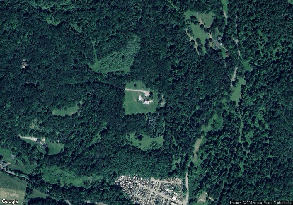
Map
Nearby Homes
- 0 Lutheran Church Rd
- 214 and 214 1/2 Whittier St
- 139 Maple Dr
- 28 Clark Ave
- 1149 Rosella Dr
- 1212 Gravel Bar Rd
- 1116 Grant St
- 247 Sherman Ave
- 1252 Jefferson St
- 129 Franklin Ave
- 137 Sherman Ave
- 133 Sherman Ave
- 121 Hamilton Ave
- 112 Farragut Ave Unit 3
- 1677 Shady Plain Rd
- 154 Jefferson Ave Unit 6
- 1239 Old State Rd
- 219 Quay St
- 225 Mckinley Ave
- 109 Washington Ave
- 1110 Stefanik Ln
- 1123 Stefanik Ln
- 1119 Chestnut Rd
- 1130 Emmerson Ln
- 1384 Upper Mateer Rd
- 1139 Emmerson Ln
- 1382 Upper Mateer Rd
- 1335 Upper Mateer Rd
- 1327 Upper Mateer Rd
- 1322 Upper Mateer Rd
- 1468 Upper Mateer Rd
- 1115 Porter Ln
- 1295 Upper Mateer Rd
- 1294 Upper Mateer Rd
- 1149 Keim Ln
- 1505 Upper Mateer Rd
- 514 Altman Hill Rd
- 1107 Keim Ln
- 1252 Upper Mateer Rd
- 3836 N Balsiger Rd