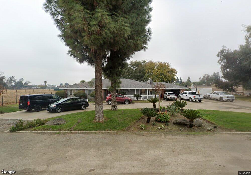
1193 Zumwalt Ave Tulare, CA 93274
Estimated Value: $411,000 - $505,542
--
Bed
--
Bath
--
Sq Ft
2.12
Acres
About This Home
This home is located at 1193 Zumwalt Ave, Tulare, CA 93274 and is currently estimated at $449,181. 1193 Zumwalt Ave is a home located in Tulare County with nearby schools including Heritage Elementary School, Los Tules Middle School, and Tulare Western High School.
Ownership History
Date
Name
Owned For
Owner Type
Purchase Details
Closed on
Feb 5, 1996
Sold by
Smith Gordon
Bought by
Yanez Esteban and Yanez Olivia
Current Estimated Value
Home Financials for this Owner
Home Financials are based on the most recent Mortgage that was taken out on this home.
Original Mortgage
$204,250
Outstanding Balance
$6,684
Interest Rate
7.01%
Estimated Equity
$442,497
Create a Home Valuation Report for This Property
The Home Valuation Report is an in-depth analysis detailing your home's value as well as a comparison with similar homes in the area
Home Values in the Area
Average Home Value in this Area
Purchase History
| Date | Buyer | Sale Price | Title Company |
|---|---|---|---|
| Yanez Esteban | $215,000 | Chicago Title Co |
Source: Public Records
Mortgage History
| Date | Status | Borrower | Loan Amount |
|---|---|---|---|
| Open | Yanez Esteban | $204,250 |
Source: Public Records
Tax History Compared to Growth
Tax History
| Year | Tax Paid | Tax Assessment Tax Assessment Total Assessment is a certain percentage of the fair market value that is determined by local assessors to be the total taxable value of land and additions on the property. | Land | Improvement |
|---|---|---|---|---|
| 2025 | $3,888 | $357,175 | $116,290 | $240,885 |
| 2024 | $3,888 | $350,172 | $114,010 | $236,162 |
| 2023 | $3,789 | $343,307 | $111,775 | $231,532 |
| 2022 | $3,678 | $336,577 | $109,584 | $226,993 |
| 2021 | $3,631 | $329,977 | $107,435 | $222,542 |
| 2020 | $3,692 | $326,593 | $106,333 | $220,260 |
| 2019 | $4,329 | $366,268 | $104,248 | $262,020 |
| 2018 | $4,221 | $355,801 | $102,204 | $253,597 |
| 2017 | $4,146 | $345,838 | $100,200 | $245,638 |
| 2016 | $3,933 | $336,341 | $98,235 | $238,106 |
| 2015 | $3,744 | $328,661 | $96,759 | $231,902 |
| 2014 | $3,744 | $319,979 | $94,864 | $225,115 |
Source: Public Records
Map
Nearby Homes
- 1721 Cotton Ct
- 1287 Palo Alto St
- 384 Mitchell Ave
- 382 Hemmingway Ct
- 1149 N E St
- 1695 Cochran Ave
- 1977 Irving Cir
- 202 W Gail Ave
- 704 Lassen Ave
- 1266 N H St
- 2459 N Oaks St Unit 37
- 2459 N Oaks St Unit 120
- 2459 N Oaks St Unit 127
- 2459 N Oaks St Unit 28
- 2459 N Oaks St Unit 46
- 1800 W Merritt Ave
- 830 Alameda St
- 148 E Gail Ave
- 1 M St
- 770 W Pleasant Ave
- 1203 Zumwalt Ave
- 1964 N West St
- 1073 Zumwalt Ave
- 2065 N West St
- 1910 N West St
- 1057 Zumwalt Ave
- 1826 N West St
- 1037 Zumwalt Ave
- 1345 Zumwalt Ave
- 1106 W Gail Ave
- 1383 Zumwalt Ave
- 1202 W Gail Ave
- 1136 W Gail Ave
- 894 Russel Ave
- 945 Zumwalt Ave
- 894 Russell Ave
- 1799 Cotton Ct
- 1246 W Gail Ave
- 886 Russel Ave
- 1793 Cotton Ct