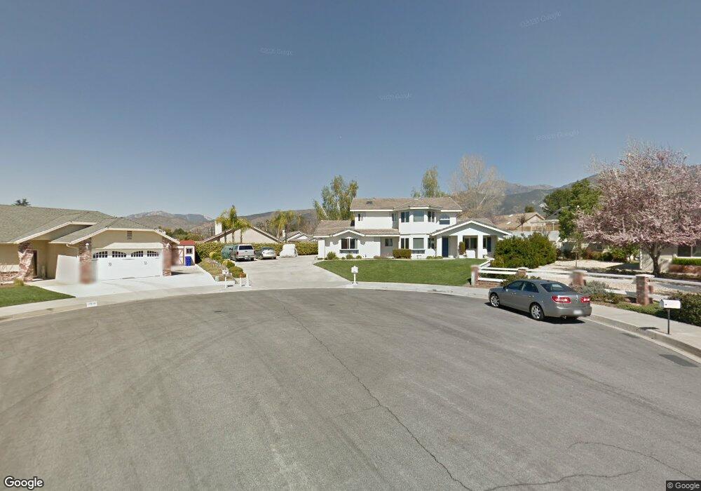
11939 Auburn Ave Yucaipa, CA 92399
Estimated Value: $638,659 - $674,000
4
Beds
3
Baths
2,475
Sq Ft
$265/Sq Ft
Est. Value
About This Home
This home is located at 11939 Auburn Ave, Yucaipa, CA 92399 and is currently estimated at $655,665, approximately $264 per square foot. 11939 Auburn Ave is a home located in San Bernardino County with nearby schools including Ridgeview Elementary School, Park View Middle School, and Yucaipa High School.
Ownership History
Date
Name
Owned For
Owner Type
Purchase Details
Closed on
Mar 22, 2018
Sold by
Smith Alvin D
Bought by
Liv Smith Patricia A and Liv Patricia A Smith Revocable
Current Estimated Value
Purchase Details
Closed on
Feb 7, 2018
Sold by
Smith Alvin D
Bought by
Liv Smith Patricia A and Liv Patricia A Smith Revocable
Purchase Details
Closed on
Apr 24, 2002
Sold by
Richardson James Anthony
Bought by
Smith Alvin D and Smith Patricia A
Purchase Details
Closed on
Apr 8, 1999
Sold by
Oak Valley Design Co
Bought by
Richardson James Anthony and Richardson Heather N
Home Financials for this Owner
Home Financials are based on the most recent Mortgage that was taken out on this home.
Original Mortgage
$184,000
Interest Rate
8.25%
Create a Home Valuation Report for This Property
The Home Valuation Report is an in-depth analysis detailing your home's value as well as a comparison with similar homes in the area
Home Values in the Area
Average Home Value in this Area
Purchase History
| Date | Buyer | Sale Price | Title Company |
|---|---|---|---|
| Liv Smith Patricia A | -- | None Available | |
| Liv Smith Patricia A | -- | None Available | |
| Smith Alvin D | $255,000 | First American Title Ins Co | |
| Richardson James Anthony | $230,000 | Commonwealth Land Title Ins |
Source: Public Records
Mortgage History
| Date | Status | Borrower | Loan Amount |
|---|---|---|---|
| Previous Owner | Richardson James Anthony | $184,000 | |
| Closed | Richardson James Anthony | $46,000 |
Source: Public Records
Tax History Compared to Growth
Tax History
| Year | Tax Paid | Tax Assessment Tax Assessment Total Assessment is a certain percentage of the fair market value that is determined by local assessors to be the total taxable value of land and additions on the property. | Land | Improvement |
|---|---|---|---|---|
| 2025 | $5,321 | $430,147 | $119,342 | $310,805 |
| 2024 | $5,321 | $421,713 | $117,002 | $304,711 |
| 2023 | $5,209 | $413,444 | $114,708 | $298,736 |
| 2022 | $5,131 | $405,337 | $112,459 | $292,878 |
| 2021 | $5,047 | $397,389 | $110,254 | $287,135 |
| 2020 | $5,081 | $393,314 | $109,123 | $284,191 |
| 2019 | $4,929 | $385,602 | $106,983 | $278,619 |
| 2018 | $3,925 | $331,082 | $82,770 | $248,312 |
| 2017 | $3,838 | $324,590 | $81,147 | $243,443 |
| 2016 | $3,785 | $318,226 | $79,556 | $238,670 |
| 2015 | $3,744 | $313,446 | $78,361 | $235,085 |
| 2014 | $3,667 | $307,306 | $76,826 | $230,480 |
Source: Public Records
Map
Nearby Homes
- 35263 Beech Ave
- 35483 Acacia Ave
- 35225 Acacia Ave
- 11744 Auburn Ct
- 12142 Bryant St
- 11748 Douglas St
- 12040 Sutter Ave
- 11896 Addison St
- 35287 Avenue A
- 12049 California St
- 35279 Avenue B
- 9813 Fremont St
- 12224 Adams St
- 12298 Custer St
- 11570 Bryant St
- 35345 Panorama Dr
- 11610 Dodd St
- 35134 Avenue C
- 35688 Date St
- 34988 Acacia Ave
- 11957 Auburn Ave
- 35371 Rancho Rd
- 35359 Rancho Rd
- 11938 Auburn Ave
- 35385 Rancho Rd
- 11936 Custer St
- 11853 Custer St
- 35345 Rancho Rd
- 11971 Auburn Ave
- 11956 Auburn Ave
- 35393 Rancho Rd
- 11970 Custer St
- 11970 Auburn Ave
- 35335 Rancho Rd
- 35370 Rancho Rd
- 35358 Rancho Rd
- 35380 Rancho Rd
- 11980 Custer St
- 11980 Auburn Ave