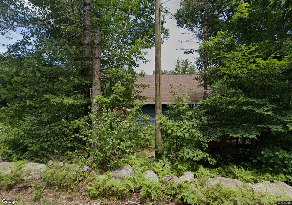
1194 1st Crown Point Rd Strafford, NH 03884
Estimated Value: $350,535 - $486,000
1
Bed
1
Bath
672
Sq Ft
$637/Sq Ft
Est. Value
About This Home
This home is located at 1194 1st Crown Point Rd, Strafford, NH 03884 and is currently estimated at $428,178, approximately $637 per square foot. 1194 1st Crown Point Rd is a home with nearby schools including Strafford School and Coe-Brown Northwood Academy.
Ownership History
Date
Name
Owned For
Owner Type
Purchase Details
Closed on
Aug 19, 2013
Sold by
Vedeler Janice
Bought by
Ricker Ft
Current Estimated Value
Purchase Details
Closed on
May 5, 2006
Sold by
Zielfelder Ross and Zielfelder Sharon
Bought by
Vedeler Janice and Vedeler Marjorie
Create a Home Valuation Report for This Property
The Home Valuation Report is an in-depth analysis detailing your home's value as well as a comparison with similar homes in the area
Home Values in the Area
Average Home Value in this Area
Purchase History
| Date | Buyer | Sale Price | Title Company |
|---|---|---|---|
| Ricker Ft | $42,500 | -- | |
| Vedeler Janice | $110,000 | -- |
Source: Public Records
Tax History Compared to Growth
Tax History
| Year | Tax Paid | Tax Assessment Tax Assessment Total Assessment is a certain percentage of the fair market value that is determined by local assessors to be the total taxable value of land and additions on the property. | Land | Improvement |
|---|---|---|---|---|
| 2024 | $4,007 | $202,800 | $77,600 | $125,200 |
| 2023 | $3,780 | $202,800 | $77,600 | $125,200 |
| 2022 | $3,333 | $194,600 | $77,600 | $117,000 |
| 2021 | $3,231 | $175,000 | $77,600 | $97,400 |
| 2020 | $3,042 | $118,600 | $60,400 | $58,200 |
| 2019 | $2,101 | $89,500 | $60,400 | $29,100 |
| 2018 | $1,427 | $60,400 | $60,400 | $0 |
| 2016 | $1,284 | $60,400 | $60,400 | $0 |
| 2015 | $1,590 | $72,900 | $72,900 | $0 |
| 2014 | $1,688 | $72,900 | $72,900 | $0 |
| 2013 | $1,653 | $72,900 | $72,900 | $0 |
| 2012 | $1,632 | $72,900 | $72,900 | $0 |
Source: Public Records
Map
Nearby Homes
- 22 Stonewall Dr
- 825 Second Crown Point Rd
- 479 Ten Rod Rd
- 77 Holmes Rd
- 301 Muchado Hill Rd
- 38 Chapelle Rd
- 956 N Barnstead Rd
- Lot 3 Ridge Rd
- 24 Ragged Mountain Rd
- 8 King Arthur Dr
- L68-2 Vail Rd
- 260 New Rd
- 152 Evans Rd
- TBD Merlin Rd
- 0 Strafford Rd Unit 5057984
- 00 Squire Rd
- 42 Trotting Park Rd
- L68-1 Vail Rd
- 8 Marshall Ln
- 109 Vail Rd
- 1206 1st Crown Point Rd
- 1191 1st Crown Point Rd
- 1207 1st Crown Point Rd
- 1041 First Crown Point Rd
- 1225 1st Crown Point Rd
- 1164 1st Crown Point Rd
- 1164 1st Crown Point Rd
- 1185 1st Crown Point Rd
- 1160 1st Crown Point Rd
- 1226 1st Crown Point Rd
- 1226 1st Crown Point Rd
- 1179 1st Crown Point Rd
- 1156 1st Crown Point Rd
- 1231 1st Crown Point Rd
- 1238 1st Crown Point Rd
- 1180 1st Crown Point Rd
- 244 Little Niagara Rd
- 1245 1st Crown Point Rd
- 240 Little Niagara Rd
- 1270 1st Crown Point Rd