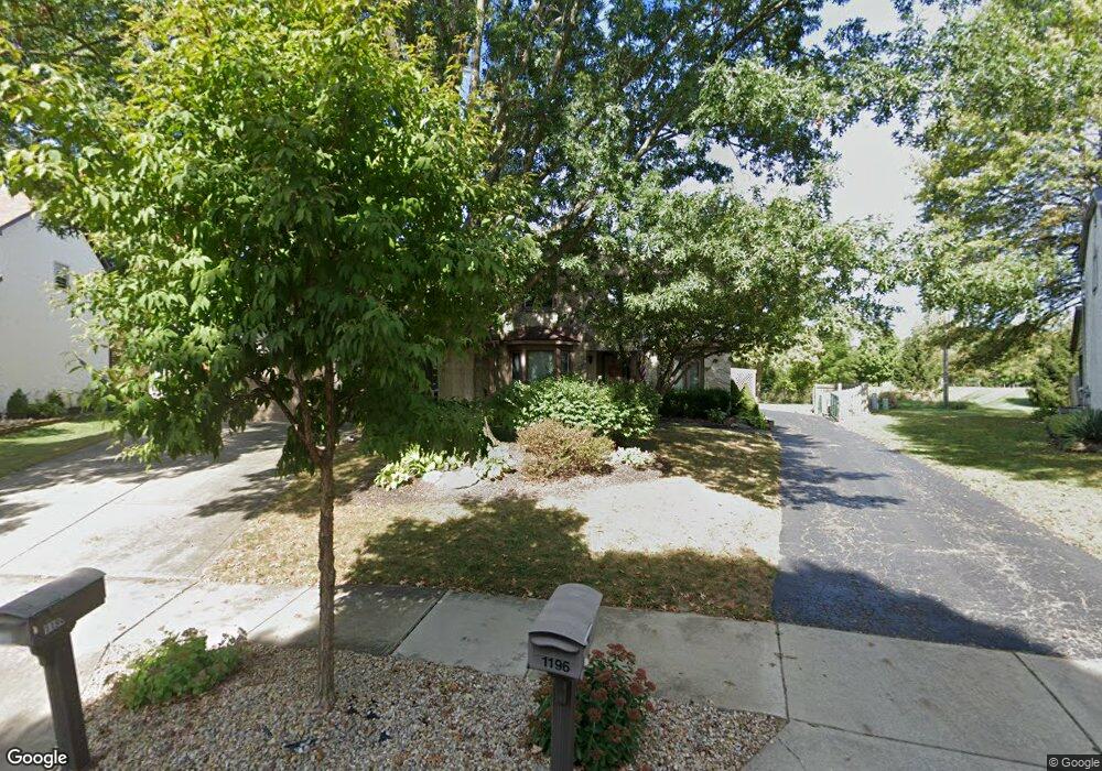
1194 Colston Dr Unit 196 Westerville, OH 43081
Estimated Value: $452,000 - $642,000
6
Beds
6
Baths
3,678
Sq Ft
$150/Sq Ft
Est. Value
About This Home
This home is located at 1194 Colston Dr Unit 196, Westerville, OH 43081 and is currently estimated at $550,046, approximately $149 per square foot. 1194 Colston Dr Unit 196 is a home located in Franklin County with nearby schools including Mcvay Elementary School, Walnut Springs Middle School, and Westerville-North High School.
Ownership History
Date
Name
Owned For
Owner Type
Purchase Details
Closed on
Apr 24, 2023
Sold by
Armbruster Karin G
Bought by
Armbruster Karin G and Flanagan Michael J
Current Estimated Value
Purchase Details
Closed on
Jul 30, 2009
Sold by
Irrevocable Wooddell Gloria Anne and Irrevocable Gloria A Wooddell
Bought by
Irrevocable Wooddell Kirtley D and Irrevocable Gloria A Wooddell
Purchase Details
Closed on
Nov 2, 1984
Bought by
Wooddell Shirley Don
Purchase Details
Closed on
Jul 1, 1980
Create a Home Valuation Report for This Property
The Home Valuation Report is an in-depth analysis detailing your home's value as well as a comparison with similar homes in the area
Home Values in the Area
Average Home Value in this Area
Purchase History
| Date | Buyer | Sale Price | Title Company |
|---|---|---|---|
| Armbruster Karin G | -- | None Listed On Document | |
| Irrevocable Wooddell Kirtley D | -- | Attorney | |
| Wooddell Shirley Don | $136,000 | -- | |
| -- | $22,500 | -- |
Source: Public Records
Tax History Compared to Growth
Tax History
| Year | Tax Paid | Tax Assessment Tax Assessment Total Assessment is a certain percentage of the fair market value that is determined by local assessors to be the total taxable value of land and additions on the property. | Land | Improvement |
|---|---|---|---|---|
| 2024 | $8,549 | $146,940 | $23,630 | $123,310 |
| 2023 | $8,273 | $146,940 | $23,630 | $123,310 |
| 2022 | $8,427 | $114,280 | $20,790 | $93,490 |
| 2021 | $8,497 | $114,280 | $20,790 | $93,490 |
| 2020 | $8,473 | $114,280 | $20,790 | $93,490 |
| 2019 | $7,488 | $95,240 | $17,330 | $77,910 |
| 2018 | $7,715 | $95,240 | $17,330 | $77,910 |
| 2017 | $7,857 | $95,240 | $17,330 | $77,910 |
| 2016 | $8,345 | $98,180 | $16,450 | $81,730 |
| 2015 | $8,086 | $98,180 | $16,450 | $81,730 |
| 2014 | $8,092 | $98,180 | $16,450 | $81,730 |
| 2013 | $3,848 | $93,485 | $15,645 | $77,840 |
Source: Public Records
Map
Nearby Homes
- 806 Watten Ln
- 6506 Purplefinch Ct
- 5769 Burntwood Way
- 4432 Scissortail Loop
- 6352 Hibiscus Ct
- 6360 Thrasher Loop
- 737 Autumn Branch Rd
- 4765 Smoketalk Ln Unit 1
- 750 Autumn Branch Rd
- 640 Brook Run Dr
- 4758 Crazy Horse Ln Unit 2
- 4755 Crazy Horse Ln Unit 6
- 4786 Crazy Horse Ln Unit 2
- 994 Autumn Lake Ct
- 800 S Spring Rd
- 4816 Crazy Horse Ln Unit 4
- 1015 Swanton Ct
- 1019 Swanton Ct
- 1209 Chatham Ridge Rd
- 1003 Autumn Meadows Dr
- 1200 Colston Dr Unit 202
- 1200-1202 Colston Dr Unit 202
- 1187 Colston Dr Unit 189
- 1206 Colston Dr Unit 208
- 1195 Colston Dr
- 1201 Colston Dr
- 1214 Colston Dr Unit 216
- 1207 Colston Dr
- 1213 Colston Dr
- 1226 Colston Dr Unit 228
- 1220 Denmark Place
- 1217 Denmark Place
- 1219 Norway Ln
- 1225 Colston Dr
- 1234 Colston Dr Unit 236
- 1225 Norway Ln
- 1218 Norway Ln
- 1223 Denmark Place
- 1226 Denmark Place