Estimated Value: $438,000 - $639,000
3
Beds
2
Baths
2,720
Sq Ft
$191/Sq Ft
Est. Value
About This Home
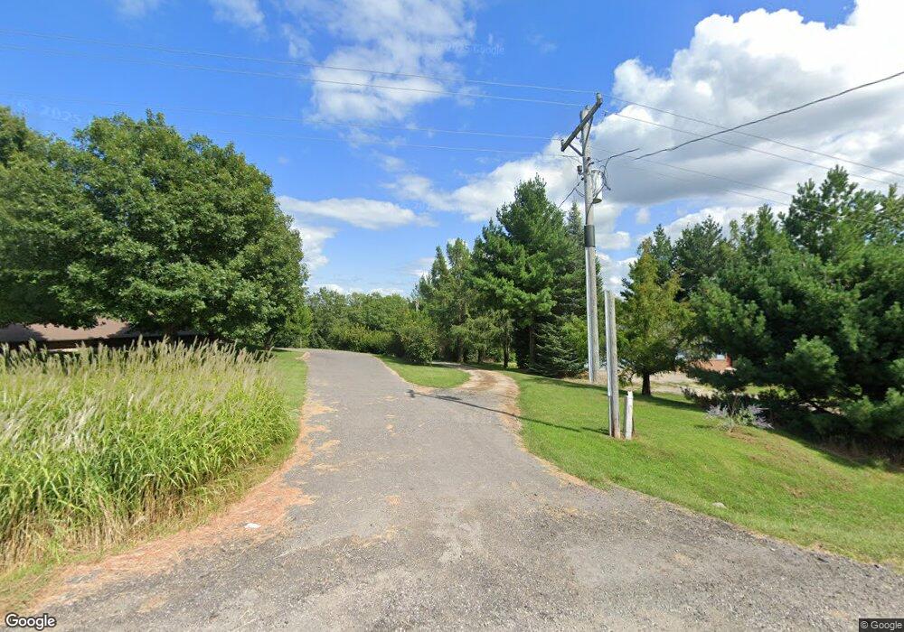
This home is located at 1194 Highway T17, Pella, IA 50219 and is currently estimated at $520,770, approximately $191 per square foot. 1194 Highway T17 is a home located in Marion County with nearby schools including Pella High School, Pella Christian Grade School, and Peoria Christian School.
Ownership History
Date
Name
Owned For
Owner Type
Purchase Details
Closed on
Jan 16, 2024
Sold by
Lanser Rodney W and Lanser Sandra L
Bought by
Rodney And Sandra Lanser Trust
Current Estimated Value
Create a Home Valuation Report for This Property
The Home Valuation Report is an in-depth analysis detailing your home's value as well as a comparison with similar homes in the area
Home Values in the Area
Average Home Value in this Area
Purchase History
| Date | Buyer | Sale Price | Title Company |
|---|---|---|---|
| Rodney And Sandra Lanser Trust | -- | None Listed On Document | |
| Rodney And Sandra Lanser Trust | -- | None Listed On Document |
Source: Public Records
Tax History Compared to Growth
Tax History
| Year | Tax Paid | Tax Assessment Tax Assessment Total Assessment is a certain percentage of the fair market value that is determined by local assessors to be the total taxable value of land and additions on the property. | Land | Improvement |
|---|---|---|---|---|
| 2025 | $4,964 | $488,960 | $87,100 | $401,860 |
| 2024 | $4,964 | $404,680 | $34,220 | $370,460 |
| 2023 | $4,752 | $404,680 | $34,220 | $370,460 |
| 2022 | $4,788 | $344,260 | $40,680 | $303,580 |
| 2021 | $4,788 | $324,780 | $38,380 | $286,400 |
| 2020 | $4,490 | $309,850 | $38,380 | $271,470 |
Source: Public Records
Map
Nearby Homes
- 1376 216th Place
- 503 Main St
- 606 Burlington St
- 000 Dennis St
- 803 West St
- TBD 198th Place
- 2123 Idaho Dr
- 123 Timber Ridge Dr
- 2129 Idaho Dr
- 1714 Neil Dr
- 2506 Scholte Straat
- 2312 Drenthe Laan
- 116 E 14th St
- 2304 Bos Landen Dr Unit 2
- 201 E 13th St
- 2310 Bos Landen Dr
- 227 E 8th St
- 210 E 12th St
- 304 E 3rd St Unit 9
- 220 E 13th St
- 1204 Highway T17
- 1204 Highway T17
- 1204 Highway T17
- 1193 Highway T17
- 1184 Highway T17
- 1187 Highway T17
- 1175 Highway T17
- 1210 Highway T17
- 0 Hwy T-17
- 0 Marion County Highway T17
- 0 Keokuk Dr
- 1173 Highway T17
- 2293 Keokuk Dr
- 1183 Highway T17
- 1183 Highway T17
- 2285 Keokuk Dr
- 1167 Highway T17
- 2299 Keokuk Dr
- 2309 Keokuk Dr
- 2306 Keokuk Dr