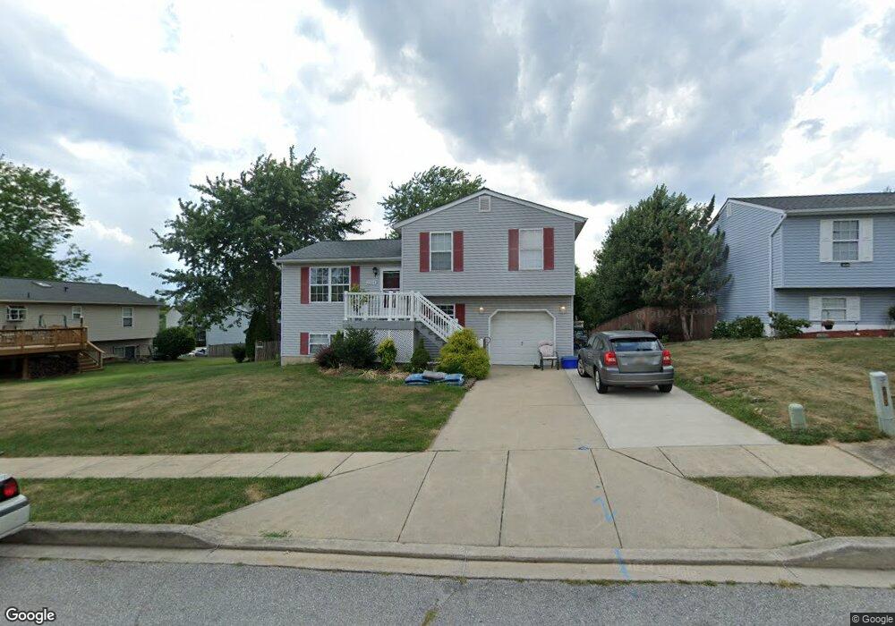
1194 N Carroll St Hampstead, MD 21074
Estimated Value: $411,740 - $460,000
--
Bed
2
Baths
1,518
Sq Ft
$287/Sq Ft
Est. Value
About This Home
This home is located at 1194 N Carroll St, Hampstead, MD 21074 and is currently estimated at $436,185, approximately $287 per square foot. 1194 N Carroll St is a home located in Carroll County with nearby schools including Hampstead Elementary School, Shiloh Middle School, and Manchester Valley High School.
Ownership History
Date
Name
Owned For
Owner Type
Purchase Details
Closed on
Oct 2, 2000
Sold by
Thomas Amanda Mary
Bought by
Schenning Craig S and Schenning Amanda Mary
Current Estimated Value
Purchase Details
Closed on
Feb 1, 1996
Sold by
Marsar Development Corporation
Bought by
Thomas Amanda Mary
Create a Home Valuation Report for This Property
The Home Valuation Report is an in-depth analysis detailing your home's value as well as a comparison with similar homes in the area
Home Values in the Area
Average Home Value in this Area
Purchase History
| Date | Buyer | Sale Price | Title Company |
|---|---|---|---|
| Schenning Craig S | -- | -- | |
| Thomas Amanda Mary | $117,387 | -- |
Source: Public Records
Tax History Compared to Growth
Tax History
| Year | Tax Paid | Tax Assessment Tax Assessment Total Assessment is a certain percentage of the fair market value that is determined by local assessors to be the total taxable value of land and additions on the property. | Land | Improvement |
|---|---|---|---|---|
| 2025 | $4,309 | $326,300 | $85,700 | $240,600 |
| 2024 | $4,309 | $316,200 | $0 | $0 |
| 2023 | $4,132 | $306,100 | $0 | $0 |
| 2022 | $4,039 | $296,000 | $85,700 | $210,300 |
| 2021 | $7,973 | $285,600 | $0 | $0 |
| 2020 | $3,781 | $275,200 | $0 | $0 |
| 2019 | $3,640 | $264,800 | $85,700 | $179,100 |
| 2018 | $3,485 | $255,233 | $0 | $0 |
| 2017 | $3,357 | $245,667 | $0 | $0 |
| 2016 | -- | $236,100 | $0 | $0 |
| 2015 | -- | $236,100 | $0 | $0 |
| 2014 | -- | $236,100 | $0 | $0 |
Source: Public Records
Map
Nearby Homes
- 3836 Dakota Rd
- 1151 Caton Rd
- 1330 N Main St
- 3820 Sunnyfield Ct Unit 3C
- 3911 Sunset Dr
- LOT OC2 Highgate Dr Unit BENTON
- 1368 Lare St
- 0 Hanover Pike Unit MDCR2024542
- 3840 Normandy Dr Unit 3B
- 3820 Normandy Dr Unit 2A
- 1410 N Main St
- 3860 Normandy Dr Unit 1C
- 4138 Hillcrest Ave
- 4131 Shanelle Ct
- 4136 Shanelle Ct
- 820 Wembley Dr Unit 2C
- 820 Wembley Dr Unit 3C
- 820 Wembley Dr Unit 1C
- 820 Wembley Dr Unit 3D
- 820 Wembley Dr Unit 3B
- 1196 N Carroll St
- 3850 Dakota Rd
- 3848 Dakota Rd
- 3846 Dakota Rd
- 1198 N Carroll St
- 1195 N Carroll St
- 3915 Brittany Ln
- 1197 N Carroll St
- 1193 N Carroll St
- 3844 Dakota Rd
- 1199 N Carroll St
- 3917 Brittany Ln
- 3917 Brittany Ln
- 1200 N Carroll St
- 3853 Dakota Rd
- 3849 Dakota Rd
- 3851 Dakota Rd
- 3855 Dakota Rd
- 3845 Dakota Rd
- 3857 Dakota Rd