Estimated Value: $236,000 - $289,000
4
Beds
2
Baths
1,720
Sq Ft
$155/Sq Ft
Est. Value
About This Home
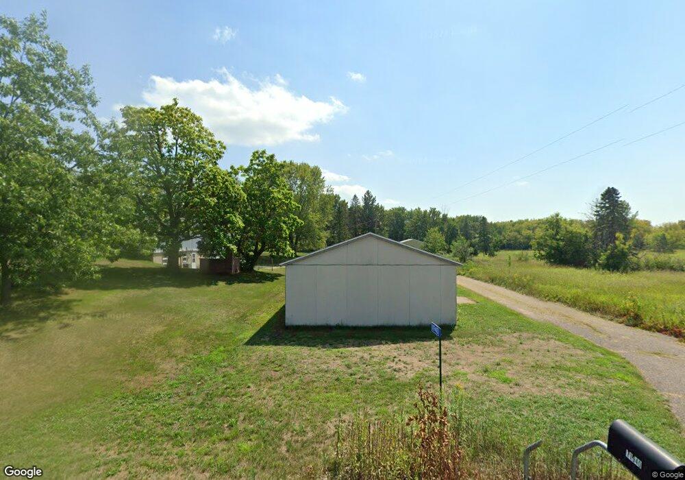
This home is located at 11940 NE 55th St, Foley, MN 56329 and is currently estimated at $267,376, approximately $155 per square foot. 11940 NE 55th St is a home located in Benton County with nearby schools including Foley Elementary School, Foley Intermediate Elementary School, and Foley Senior High School.
Ownership History
Date
Name
Owned For
Owner Type
Purchase Details
Closed on
Mar 19, 2015
Sold by
Kirchoff Elsie Elsie
Bought by
Anderson Frank Frank
Current Estimated Value
Home Financials for this Owner
Home Financials are based on the most recent Mortgage that was taken out on this home.
Original Mortgage
$111,920
Outstanding Balance
$86,035
Interest Rate
3.78%
Estimated Equity
$181,341
Create a Home Valuation Report for This Property
The Home Valuation Report is an in-depth analysis detailing your home's value as well as a comparison with similar homes in the area
Home Values in the Area
Average Home Value in this Area
Purchase History
| Date | Buyer | Sale Price | Title Company |
|---|---|---|---|
| Anderson Frank Frank | $139,900 | -- |
Source: Public Records
Mortgage History
| Date | Status | Borrower | Loan Amount |
|---|---|---|---|
| Open | Anderson Frank Frank | $111,920 |
Source: Public Records
Tax History Compared to Growth
Tax History
| Year | Tax Paid | Tax Assessment Tax Assessment Total Assessment is a certain percentage of the fair market value that is determined by local assessors to be the total taxable value of land and additions on the property. | Land | Improvement |
|---|---|---|---|---|
| 2025 | $2,120 | $222,500 | $51,500 | $171,000 |
| 2024 | $1,986 | $227,100 | $51,500 | $175,600 |
| 2023 | $1,824 | $224,900 | $51,500 | $173,400 |
| 2022 | $1,740 | $193,900 | $45,500 | $148,400 |
| 2021 | $1,706 | $164,200 | $43,500 | $120,700 |
| 2018 | $1,668 | $118,400 | $34,409 | $83,991 |
| 2017 | $1,668 | $110,900 | $33,866 | $77,034 |
| 2016 | $1,840 | $131,900 | $41,500 | $90,400 |
| 2015 | $1,600 | $97,500 | $32,579 | $64,921 |
| 2014 | -- | $107,000 | $35,181 | $71,819 |
| 2013 | -- | $109,400 | $35,382 | $74,018 |
Source: Public Records
Map
Nearby Homes
- 320 Oak Dr
- 201 Norman Ave S
- 52 Glen St Unit 10
- 191 4th Ave S
- 130 Broadway Ave S
- 409 4th Ave N
- XXX Hwy 25
- 501 4th Ave N
- 709 Norman Ave N
- TBD 11th Ave
- TBD Field House Rd
- 1406 23rd St NE
- 5650 85th Ave NE
- 142xx 80th St NE
- 6468 75th Ave NE
- TBD 75th Ave NE
- Lot B 75th Ave NE
- 12395 Duelm Rd NE
- 17131 65th St NE
- 17061 90th St NE
- 11940 55th St NE
- 5419 Highway 25 NE
- 5417 Highway 25 NE
- 5524 Highway 25 NE
- 5341 Highway 25 NE
- xxxx Highway 25 NE
- 55xx Hwy 25
- 11840 55th St NE
- 302 Morgan Dr
- 661 Lanee Ave
- 651 Lanee Ave
- 5619 Highway 25 NE
- 312 Morgan Dr
- 641 Lanee Ave
- 5618 Minnesota 25
- 322 Morgan Dr
- 631 Lanee Ave
- 11788 55th St NE
- 621 Lanee Ave
- 332 Morgan Dr