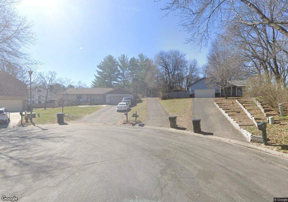
11945 Holly Cir NW Coon Rapids, MN 55448
Estimated Value: $428,000 - $494,000
5
Beds
4
Baths
2,360
Sq Ft
$193/Sq Ft
Est. Value
About This Home
This home is located at 11945 Holly Cir NW, Coon Rapids, MN 55448 and is currently estimated at $455,364, approximately $192 per square foot. 11945 Holly Cir NW is a home located in Anoka County with nearby schools including Sand Creek Elementary School, Northdale Middle School, and Green Valley High School.
Ownership History
Date
Name
Owned For
Owner Type
Purchase Details
Closed on
Nov 30, 2017
Sold by
Knotz Susan K and Knotz Susan Kathleen
Bought by
Alibadi Ali Saiwan Zubadi and Alfuraiji Khawlah Aklo Mezohi
Current Estimated Value
Home Financials for this Owner
Home Financials are based on the most recent Mortgage that was taken out on this home.
Original Mortgage
$162,000
Interest Rate
3.94%
Mortgage Type
Purchase Money Mortgage
Create a Home Valuation Report for This Property
The Home Valuation Report is an in-depth analysis detailing your home's value as well as a comparison with similar homes in the area
Home Values in the Area
Average Home Value in this Area
Purchase History
| Date | Buyer | Sale Price | Title Company |
|---|---|---|---|
| Alibadi Ali Saiwan Zubadi | $267,500 | Landserv National Title |
Source: Public Records
Mortgage History
| Date | Status | Borrower | Loan Amount |
|---|---|---|---|
| Closed | Alibadi Ali Saiwan Zubadi | $162,000 |
Source: Public Records
Tax History Compared to Growth
Tax History
| Year | Tax Paid | Tax Assessment Tax Assessment Total Assessment is a certain percentage of the fair market value that is determined by local assessors to be the total taxable value of land and additions on the property. | Land | Improvement |
|---|---|---|---|---|
| 2025 | $4,314 | $416,200 | $80,000 | $336,200 |
| 2024 | $4,314 | $405,800 | $90,000 | $315,800 |
| 2023 | $4,049 | $407,200 | $75,000 | $332,200 |
| 2022 | $3,589 | $408,500 | $70,000 | $338,500 |
| 2021 | $3,515 | $324,800 | $61,000 | $263,800 |
| 2020 | $3,523 | $311,300 | $62,000 | $249,300 |
| 2019 | $3,483 | $299,600 | $60,000 | $239,600 |
| 2018 | $3,321 | $287,900 | $0 | $0 |
| 2017 | $2,966 | $267,400 | $0 | $0 |
| 2016 | $3,053 | $238,400 | $0 | $0 |
| 2015 | -- | $238,400 | $48,000 | $190,400 |
| 2014 | -- | $190,800 | $45,100 | $145,700 |
Source: Public Records
Map
Nearby Homes
- 633 Sand Creek Dr NW
- 11877 Cottonwood St NW
- 12092 Butternut St NW
- 45 120th Ln NW
- 11640 Larch St NW
- 11924 3rd St NE
- 12357 Magnolia St NW
- 899 123rd Ln NW
- 12325 3rd St NE
- 35 115th Ln NE Unit 489
- 43 115th Ln NE Unit 487
- 26 115th Ln NE Unit 456
- 15 114th Ln NE Unit 519
- 31 115th Ave NE Unit 452
- 62 115th Ln NE Unit 465
- 117 116th Ave NE Unit 420
- 11422 4th St NE Unit 522
- 59 115th Ave NE Unit 445
- 124 116th Ave NE Unit 511
- 123 115th Ln NE Unit 475
- 11950 Holly Cir NW
- 11940 Holly Cir NW
- 11940 Goldenrod Cir NW
- 11930 Goldenrod Cir NW
- 11950 Goldenrod Cir NW
- 11901 Goldenrod St NW
- 12025 Ilex St NW
- 11960 Goldenrod Cir NW
- 11955 Ilex Cir NW
- 11945 Ilex Cir NW
- 11909 Goldenrod St NW
- 11825 Sand Creek Dr NW
- 401 Sand Creek Dr NW
- 12011 Ilex St NW
- 409 Sand Creek Dr NW
- 11817 Sand Creek Dr NW
- 11860 Foley Blvd NW
- 11970 Goldenrod Cir NW
- 11931 Goldenrod Cir NW
- 11917 Goldenrod St NW