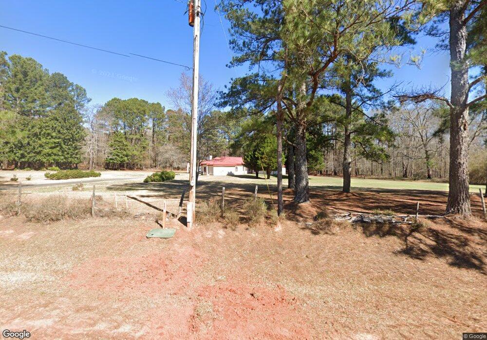
1195 Ammons Bridge Rd Monroe, GA 30655
Estimated Value: $525,000 - $1,534,061
--
Bed
--
Bath
2,605
Sq Ft
$373/Sq Ft
Est. Value
About This Home
This home is located at 1195 Ammons Bridge Rd, Monroe, GA 30655 and is currently estimated at $971,265, approximately $372 per square foot. 1195 Ammons Bridge Rd is a home with nearby schools including Atha Road Elementary School, Youth Middle School, and Walnut Grove High School.
Ownership History
Date
Name
Owned For
Owner Type
Purchase Details
Closed on
Dec 23, 2020
Sold by
Phillips Charles Wesley
Bought by
Trust For Charles Michael Phillips
Current Estimated Value
Purchase Details
Closed on
Nov 30, 2020
Sold by
Phillips Charles Wesley Estate
Bought by
Mft Land Investments Llc
Purchase Details
Closed on
Sep 23, 2015
Sold by
Phillips Charles Weathers
Bought by
Sanchez Augustin Reyes and Reyes Luz M
Create a Home Valuation Report for This Property
The Home Valuation Report is an in-depth analysis detailing your home's value as well as a comparison with similar homes in the area
Home Values in the Area
Average Home Value in this Area
Purchase History
| Date | Buyer | Sale Price | Title Company |
|---|---|---|---|
| Trust For Charles Michael Phillips | -- | -- | |
| Mft Land Investments Llc | $1,040,000 | -- | |
| Sanchez Augustin Reyes | $50,000 | -- |
Source: Public Records
Tax History Compared to Growth
Tax History
| Year | Tax Paid | Tax Assessment Tax Assessment Total Assessment is a certain percentage of the fair market value that is determined by local assessors to be the total taxable value of land and additions on the property. | Land | Improvement |
|---|---|---|---|---|
| 2024 | $3,298 | $149,272 | $45,440 | $103,832 |
| 2023 | $2,867 | $144,192 | $43,120 | $101,072 |
| 2022 | $3,265 | $128,392 | $38,880 | $89,512 |
| 2021 | $2,947 | $107,312 | $30,240 | $77,072 |
| 2020 | $9,263 | $286,312 | $210,960 | $75,352 |
| 2019 | $8,632 | $257,512 | $187,560 | $69,952 |
| 2018 | $8,384 | $257,512 | $187,560 | $69,952 |
| 2017 | $8,174 | $237,232 | $169,120 | $68,112 |
| 2016 | $5,446 | $162,908 | $105,560 | $57,348 |
| 2015 | $5,324 | $156,788 | $105,560 | $51,228 |
| 2014 | $5,125 | $147,340 | $0 | $0 |
Source: Public Records
Map
Nearby Homes
- 0 Cannonade Ct
- 0 Cannonade Ct Unit 7337465
- 0 Cannonade Ct Unit 7054267
- 0 Cannonade Ct Unit 8361961
- 0 Cannonade Ct Unit 7019500
- 0 Ammons Bridge Rd Unit 6054138
- 0 Ammons Bridge Rd Unit 8429213
- 0 Ammons Bridge Rd Unit 8150081
- 0 Ammons Bridge Rd Unit CM964163
- 0 Ammons Bridge Rd Unit 8796121
- 0 Ammons Bridge Rd Unit 8832085
- 0 Ammons Bridge Rd Unit 6760767
- 0 Ammons Bridge Rd Unit 8215988
- 0 Ammons Bridge Rd Unit 8274802
- 0 Ammons Bridge Rd Unit 8433768
- 0 Ammons Bridge Rd Unit 8560449
- 0 Ammons Bridge Rd Unit 51186
- 265 Calumet Ln
- 266 Calumet Ln
- 0 Michael Etchison Rd
