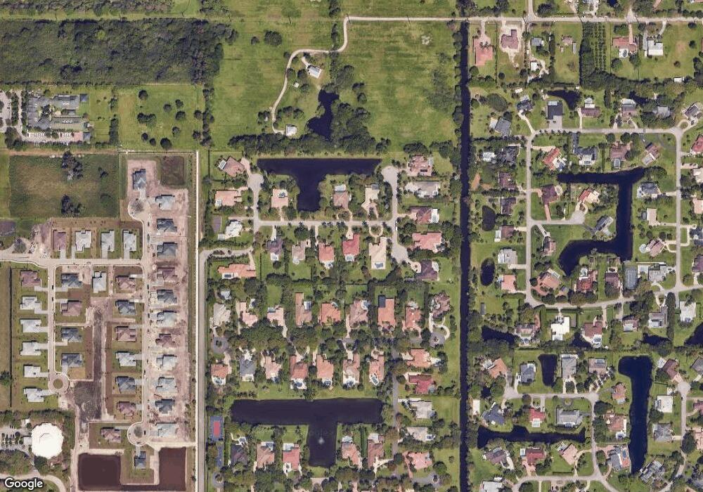
11950 SW 22nd Ct Davie, FL 33325
Flamingo Groves NeighborhoodEstimated Value: $1,491,000 - $1,611,620
3
Beds
2
Baths
4,068
Sq Ft
$383/Sq Ft
Est. Value
About This Home
This home is located at 11950 SW 22nd Ct, Davie, FL 33325 and is currently estimated at $1,559,655, approximately $383 per square foot. 11950 SW 22nd Ct is a home located in Broward County with nearby schools including Fox Trail Elementary School, Indian Ridge Middle School, and Western High School.
Ownership History
Date
Name
Owned For
Owner Type
Purchase Details
Closed on
Jun 26, 1997
Sold by
Paradise Land Corp
Bought by
Mcintyre Lester and Mcintyre Lourice
Current Estimated Value
Purchase Details
Closed on
Jan 20, 1995
Sold by
M L C Dev Corp
Bought by
P & W Const & Dev Co Inc
Create a Home Valuation Report for This Property
The Home Valuation Report is an in-depth analysis detailing your home's value as well as a comparison with similar homes in the area
Home Values in the Area
Average Home Value in this Area
Purchase History
| Date | Buyer | Sale Price | Title Company |
|---|---|---|---|
| Mcintyre Lester | $82,400 | -- | |
| P & W Const & Dev Co Inc | $1,360,000 | -- |
Source: Public Records
Tax History Compared to Growth
Tax History
| Year | Tax Paid | Tax Assessment Tax Assessment Total Assessment is a certain percentage of the fair market value that is determined by local assessors to be the total taxable value of land and additions on the property. | Land | Improvement |
|---|---|---|---|---|
| 2025 | $13,235 | $686,130 | -- | -- |
| 2024 | $12,983 | $666,800 | -- | -- |
| 2023 | $12,983 | $647,380 | $0 | $0 |
| 2022 | $12,280 | $628,530 | $0 | $0 |
| 2021 | $11,925 | $610,230 | $0 | $0 |
| 2020 | $11,789 | $601,810 | $0 | $0 |
| 2019 | $11,511 | $588,280 | $0 | $0 |
| 2018 | $11,181 | $577,320 | $0 | $0 |
| 2017 | $11,001 | $565,450 | $0 | $0 |
| 2016 | $10,934 | $553,820 | $0 | $0 |
| 2015 | $11,187 | $549,980 | $0 | $0 |
| 2014 | $11,313 | $545,620 | $0 | $0 |
| 2013 | -- | $677,690 | $126,420 | $551,270 |
Source: Public Records
Map
Nearby Homes
- 2391 SW 123rd Terrace
- 2181 SW 117th Terrace
- 2186 SW 117 Ave
- 2210 SW 122nd Terrace
- 12265 SW 22nd Ct
- 4385 SW 123rd Ln
- Yin Lot 2186 SW 117th Ave
- 1621 SW 117th Ave
- 11965 SW 15th Ct
- 12450 Oak Park Dr
- 1921 SW 112th Ave
- 11900 SW 14th Place
- 2269 SW 127th Ave
- 2400 SW 112th Ave
- 2045 SW 127th Ave
- 3030 SW 117th Ave
- Royal Palm Plan at Flamingo Ranch Estates
- Magnolia House Plan at Flamingo Ranch Estates
- 1765 SW 112th Ave
- 3061 SW 117th Ave
- 11980 SW 22nd Ct
- 11920 SW 22nd Ct
- 12010 SW 22nd Ct
- 11901 Ashford Ln
- 11941 Ashford Ln
- 11975 SW 22nd Ct
- 11925 SW 22nd Ct
- 11881 Ashford Ln
- 11981 Ashford Ln
- 12040 SW 22nd Ct
- 2250 SW 119th Terrace
- 2220 SW 119th Terrace
- 11841 Ashford Ln
- 2190 SW 119th Terrace
- 12001 Ashford Ln
- 12025 SW 22nd Ct
- 2160 SW 119th Terrace
- 11801 Ashford Ln
- 12041 Ashford Ln
- 11900 Ashford Ln
