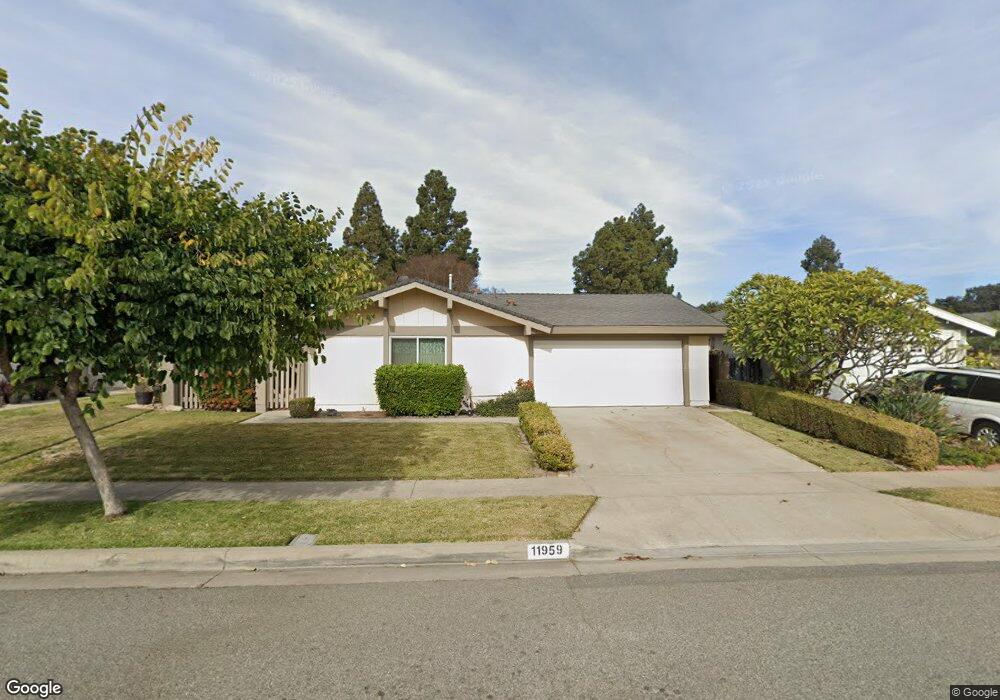
11959 Bingham St Cerritos, CA 90703
Estimated Value: $853,590 - $967,000
3
Beds
2
Baths
989
Sq Ft
$939/Sq Ft
Est. Value
About This Home
This home is located at 11959 Bingham St, Cerritos, CA 90703 and is currently estimated at $928,648, approximately $938 per square foot. 11959 Bingham St is a home located in Los Angeles County with nearby schools including Nixon Academy, Haskell Stem Academy, and Gahr High School.
Ownership History
Date
Name
Owned For
Owner Type
Purchase Details
Closed on
Jul 28, 2020
Sold by
Laurin Dean G and Laurin Pushpamala
Bought by
Laurin Dean G and Laurin Pushpamala
Current Estimated Value
Purchase Details
Closed on
Sep 22, 2000
Sold by
Jau Ju Lan
Bought by
Laurin Dean G and Laurin Pushpamala
Home Financials for this Owner
Home Financials are based on the most recent Mortgage that was taken out on this home.
Original Mortgage
$120,000
Outstanding Balance
$41,469
Interest Rate
7.37%
Estimated Equity
$887,179
Create a Home Valuation Report for This Property
The Home Valuation Report is an in-depth analysis detailing your home's value as well as a comparison with similar homes in the area
Home Values in the Area
Average Home Value in this Area
Purchase History
| Date | Buyer | Sale Price | Title Company |
|---|---|---|---|
| Laurin Dean G | -- | None Available | |
| Laurin Dean G | $236,000 | North American Title Co |
Source: Public Records
Mortgage History
| Date | Status | Borrower | Loan Amount |
|---|---|---|---|
| Open | Laurin Dean G | $120,000 |
Source: Public Records
Tax History Compared to Growth
Tax History
| Year | Tax Paid | Tax Assessment Tax Assessment Total Assessment is a certain percentage of the fair market value that is determined by local assessors to be the total taxable value of land and additions on the property. | Land | Improvement |
|---|---|---|---|---|
| 2025 | $4,691 | $378,996 | $272,128 | $106,868 |
| 2024 | $4,691 | $371,566 | $266,793 | $104,773 |
| 2023 | $4,542 | $364,281 | $261,562 | $102,719 |
| 2022 | $4,472 | $357,139 | $256,434 | $100,705 |
| 2021 | $4,369 | $350,137 | $251,406 | $98,731 |
| 2019 | $4,276 | $339,753 | $243,950 | $95,803 |
| 2018 | $3,945 | $333,092 | $239,167 | $93,925 |
| 2016 | $3,789 | $320,160 | $229,881 | $90,279 |
| 2015 | $3,741 | $315,351 | $226,428 | $88,923 |
| 2014 | $3,672 | $309,175 | $221,993 | $87,182 |
Source: Public Records
Map
Nearby Homes
- 11974 Bos St
- 19518 Nancy Cir
- 12132 Cambrian Cir
- 19609 Nicholas Ave
- 19127 Pioneer Blvd Unit 30
- 19127 Pioneer Blvd Unit 9
- 19127 Pioneer Blvd Unit SPC 23
- 19127 Pioneer Blvd Unit 27
- 11702 Christy St
- 19657 Sequoia Ave
- 12361 Caravel Place
- 19731 Sally Ave
- 11702 Gloria Ct
- 18425 Devlin Ave
- 11620 187th St
- 18403 Devlin Ave
- 11540 187th St
- 18747 West Place
- 20603 Seine Ave
- 18035 Horst Ave
- 11955 Bingham St
- 11958 Bos St
- 11971 Bingham St
- 11949 Bingham St
- 11964 Bos St
- 11954 Bos St
- 11970 Bos St
- 11948 Bos St
- 11958 Bingham St
- 11954 Bingham St
- 11975 Bingham St
- 11943 Bingham St
- 11964 Bingham St
- 11948 Bingham St
- 11942 Bos St
- 11937 Bingham St
- 11942 Bingham St
- 11936 Bos St
- 12002 Bingham St
- 11959 Bos St