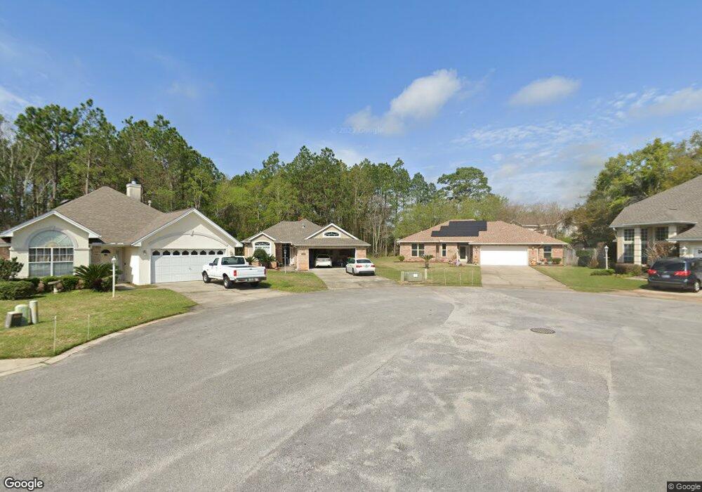
1196 Brookridge Trace Fort Walton Beach, FL 32547
Wright NeighborhoodEstimated Value: $404,000 - $418,468
3
Beds
2
Baths
1,848
Sq Ft
$223/Sq Ft
Est. Value
About This Home
This home is located at 1196 Brookridge Trace, Fort Walton Beach, FL 32547 and is currently estimated at $412,867, approximately $223 per square foot. 1196 Brookridge Trace is a home located in Okaloosa County with nearby schools including Longwood Elementary School, W.C. Pryor Middle School, and Choctawhatchee Senior High School.
Ownership History
Date
Name
Owned For
Owner Type
Purchase Details
Closed on
Jul 29, 2005
Sold by
Walker Robert E and Walker Adrienne A
Bought by
Yagher Yon Sil
Current Estimated Value
Home Financials for this Owner
Home Financials are based on the most recent Mortgage that was taken out on this home.
Original Mortgage
$258,800
Outstanding Balance
$134,375
Interest Rate
5.48%
Mortgage Type
Fannie Mae Freddie Mac
Estimated Equity
$278,492
Purchase Details
Closed on
Nov 15, 2004
Sold by
Hemstock Thomas E and The Thomas E Hemstock Sr Revoc
Bought by
Walker Robert E and Walker Adrienne A
Home Financials for this Owner
Home Financials are based on the most recent Mortgage that was taken out on this home.
Original Mortgage
$188,000
Interest Rate
5.65%
Mortgage Type
Purchase Money Mortgage
Create a Home Valuation Report for This Property
The Home Valuation Report is an in-depth analysis detailing your home's value as well as a comparison with similar homes in the area
Home Values in the Area
Average Home Value in this Area
Purchase History
| Date | Buyer | Sale Price | Title Company |
|---|---|---|---|
| Yagher Yon Sil | $323,500 | Old South Land Title | |
| Walker Robert E | $235,000 | First National Land Title Co |
Source: Public Records
Mortgage History
| Date | Status | Borrower | Loan Amount |
|---|---|---|---|
| Open | Yagher Yon Sil | $258,800 | |
| Previous Owner | Walker Robert E | $188,000 |
Source: Public Records
Tax History Compared to Growth
Tax History
| Year | Tax Paid | Tax Assessment Tax Assessment Total Assessment is a certain percentage of the fair market value that is determined by local assessors to be the total taxable value of land and additions on the property. | Land | Improvement |
|---|---|---|---|---|
| 2024 | $1,973 | $220,151 | -- | -- |
| 2023 | $1,973 | $213,739 | $0 | $0 |
| 2022 | $1,914 | $207,514 | $0 | $0 |
| 2021 | $1,904 | $201,470 | $0 | $0 |
| 2020 | $2,076 | $198,688 | $0 | $0 |
| 2019 | $2,047 | $194,221 | $0 | $0 |
| 2018 | $2,025 | $190,600 | $0 | $0 |
| 2017 | $1,987 | $186,680 | $0 | $0 |
| 2016 | $1,933 | $182,840 | $0 | $0 |
| 2015 | $1,951 | $181,569 | $0 | $0 |
| 2014 | $1,938 | $180,128 | $0 | $0 |
Source: Public Records
Map
Nearby Homes
- 1810 Scirocco Loop
- 1961 Chesapeake Ridge
- 1602 Mariah Way E
- 1942 Woodcrest Ridge Unit 2
- 1956 Woodcrest Ridge
- 1905 Mistral Ln W
- 606 Lee St
- 1100 Crosswinds Landing Unit 14
- 1100 Crosswinds Landing Unit 19
- 1100 Crosswinds Landing Unit 21
- 816 Lark St Unit 5, 6, 7, 8
- 818 Lark St Unit 1, 2, 3, 4
- 765 Pine Alley St
- 850 Holbrook Cir
- 508 Parkview Rd NW Unit A, B & C
- 1845 Pointed Leaf Ln
- 940 Central Ave Unit 15
- 1841 Pointed Leaf Ln
- 518 Parkview Rd NW Unit A
- 1832 Pointed Leaf Ln
- 1198 Brookridge Trace
- 1194 Brookridge Trace
- 1197 Brookridge Trace
- 1192 Brookridge Trace
- 1190 Brookridge Trace
- 1195 Brookridge Trace
- 1189 Brookridge Trace
- 1193 Brookridge Trace
- 1188 Brookridge Trace
- 1188 Jamescross Ct
- 1186 Brookridge Trace
- 1201 Witshire Ct
- 1192 Jamescross Ct
- 1199 Witshire Ct
- 2013 Mistral Ln E
- 1203 Witshire Ct
- 0 Brookridge Trace
- 1197 Witshire Ct
- 2015 Mistral Ln E
- 1184 Brookridge Trace