Estimated Value: $300,430 - $434,000
2
Beds
2
Baths
1,813
Sq Ft
$206/Sq Ft
Est. Value
About This Home
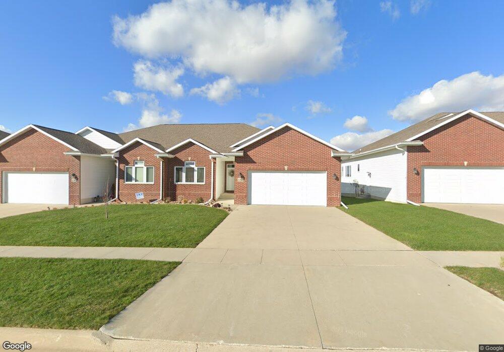
This home is located at 1196 Fox Ridge Rd, Dike, IA 50624 and is currently estimated at $373,608, approximately $206 per square foot. 1196 Fox Ridge Rd is a home located in Grundy County with nearby schools including Dike Elementary School, New Hartford Elementary School, and Dike-New Hartford Junior High School.
Ownership History
Date
Name
Owned For
Owner Type
Purchase Details
Closed on
Jun 21, 2012
Sold by
Fox Ridge Development Co
Bought by
Harvey Denise A
Current Estimated Value
Home Financials for this Owner
Home Financials are based on the most recent Mortgage that was taken out on this home.
Original Mortgage
$145,000
Outstanding Balance
$61,707
Interest Rate
3.83%
Mortgage Type
New Conventional
Estimated Equity
$311,901
Create a Home Valuation Report for This Property
The Home Valuation Report is an in-depth analysis detailing your home's value as well as a comparison with similar homes in the area
Home Values in the Area
Average Home Value in this Area
Purchase History
| Date | Buyer | Sale Price | Title Company |
|---|---|---|---|
| Harvey Denise A | $247,500 | None Available |
Source: Public Records
Mortgage History
| Date | Status | Borrower | Loan Amount |
|---|---|---|---|
| Open | Harvey Denise A | $145,000 |
Source: Public Records
Tax History Compared to Growth
Tax History
| Year | Tax Paid | Tax Assessment Tax Assessment Total Assessment is a certain percentage of the fair market value that is determined by local assessors to be the total taxable value of land and additions on the property. | Land | Improvement |
|---|---|---|---|---|
| 2025 | $4,304 | $290,040 | $24,230 | $265,810 |
| 2024 | $4,304 | $254,250 | $24,230 | $230,020 |
| 2023 | $4,088 | $254,250 | $24,230 | $230,020 |
| 2022 | $4,384 | $250,110 | $22,950 | $227,160 |
| 2021 | $4,384 | $250,110 | $22,950 | $227,160 |
| 2020 | $4,366 | $246,310 | $22,950 | $223,360 |
| 2019 | $4,092 | $246,310 | $22,950 | $223,360 |
| 2018 | $3,842 | $231,170 | $22,950 | $208,220 |
| 2017 | $4,076 | $231,170 | $22,950 | $208,220 |
| 2016 | $4,076 | $0 | $0 | $0 |
| 2015 | $4,076 | $0 | $0 | $0 |
| 2014 | $4,414 | $0 | $0 | $0 |
Source: Public Records
Map
Nearby Homes
- 607 4th St Unit North unit
- 617 4th St Unit middle unit
- 149 2nd St
- 14949 W Ave
- 0 N Pioneer
- 3 150th St
- 5 150th St
- 4 150th St
- 2 150th St
- 1 150th St
- 12643 N Pioneer
- 27594 150th St
- 25186 170th St
- 0000 S Ave
- 30126 Westbrook St
- 6415 Viking Rd
- 1636 Jepsen Rd
- 4718 Wild Horse Dr
- 4710 Wild Horse Dr
- 4615 Sonoma Dr
- 1190 Fox Ridge Rd
- 1200 Fox Ridge Rd
- 1170 Fox Ridge Rd
- 1180 Fox Ridge Rd Unit 2
- 1201 Fox Ridge Rd
- 1210 Fox Ridge Rd
- 1205 Fox Ridge Rd
- 1215 Fox Ridge Rd
- 1160 Fox Ridge Rd
- 1220 Fox Ridge Rd
- 1195 Fox Ridge Rd
- 1185 Fox Ridge Rd
- 1175 Fox Ridge Rd
- 1225 Fox Ridge Rd
- 1230 Fox Ridge Rd
- 1235 Fox Ridge Rd
- 1155 Fox Ridge Rd
- 1130 Fox Ridge Rd
- 1240 Fox Ridge Rd
- 1135 Fox Ridge Rd