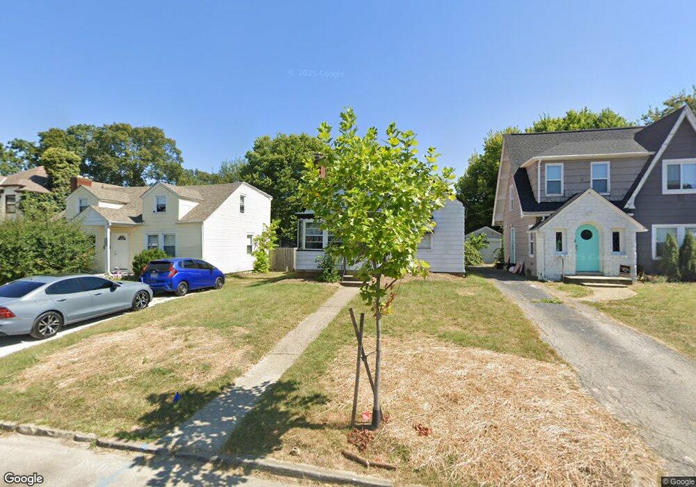
1196 Geers Ave Unit 1 Columbus, OH 43206
Deshler Park NeighborhoodEstimated Value: $172,000 - $221,000
3
Beds
1
Bath
1,202
Sq Ft
$166/Sq Ft
Est. Value
About This Home
This home is located at 1196 Geers Ave Unit 1, Columbus, OH 43206 and is currently estimated at $199,177, approximately $165 per square foot. 1196 Geers Ave Unit 1 is a home located in Franklin County with nearby schools including Moler Elementary School, South High School, and Capital Collegiate Preparatory Academy.
Ownership History
Date
Name
Owned For
Owner Type
Purchase Details
Closed on
Dec 22, 2010
Sold by
Lane Mary and Lane Freddie
Bought by
Aytch Llc
Current Estimated Value
Purchase Details
Closed on
Sep 26, 2008
Sold by
Deutsche Bank National Trust Co
Bought by
Lane Mary
Purchase Details
Closed on
Jun 18, 2008
Sold by
Bennett Carolyn J and Bennett Carolyn Jean
Bought by
Deutsche Bank National Trust Co and Ameriquest Mortgage Securities Inc Asset
Purchase Details
Closed on
Sep 12, 1991
Bought by
Bennett Carolyn J
Purchase Details
Closed on
Sep 25, 1990
Purchase Details
Closed on
Sep 12, 1988
Create a Home Valuation Report for This Property
The Home Valuation Report is an in-depth analysis detailing your home's value as well as a comparison with similar homes in the area
Home Values in the Area
Average Home Value in this Area
Purchase History
| Date | Buyer | Sale Price | Title Company |
|---|---|---|---|
| Aytch Llc | -- | None Available | |
| Lane Mary | $18,900 | Resource Title Agency Inc | |
| Deutsche Bank National Trust Co | $34,000 | Ohio Title | |
| Bennett Carolyn J | -- | -- | |
| -- | $46,900 | -- | |
| -- | -- | -- |
Source: Public Records
Tax History Compared to Growth
Tax History
| Year | Tax Paid | Tax Assessment Tax Assessment Total Assessment is a certain percentage of the fair market value that is determined by local assessors to be the total taxable value of land and additions on the property. | Land | Improvement |
|---|---|---|---|---|
| 2024 | $3,492 | $48,870 | $11,590 | $37,280 |
| 2023 | $2,317 | $48,860 | $11,585 | $37,275 |
| 2022 | $1,215 | $14,280 | $2,590 | $11,690 |
| 2021 | $800 | $14,280 | $2,590 | $11,690 |
| 2020 | $833 | $14,280 | $2,590 | $11,690 |
| 2019 | $721 | $11,590 | $2,170 | $9,420 |
| 2018 | $868 | $11,590 | $2,170 | $9,420 |
| 2017 | $891 | $11,590 | $2,170 | $9,420 |
| 2016 | $998 | $12,250 | $3,360 | $8,890 |
| 2015 | $942 | $12,250 | $3,360 | $8,890 |
| 2014 | $929 | $14,980 | $3,360 | $11,620 |
| 2013 | $540 | $17,640 | $3,955 | $13,685 |
Source: Public Records
Map
Nearby Homes
- 1485 E Whittier St
- 1189 Fairwood Ave
- 1184-1186 Lilley Ave
- 1417 E Whittier St
- 1424 E Deshler Ave
- 1614 E Whittier St Unit 1614/1616
- 1095 Berkeley Rd
- 1109 Fairwood Ave
- 1634 E Whittier St
- 1671-1673 E Whittier St
- 1689 E Kossuth St
- 1443 Fairwood Ave
- 1337 E Kossuth St Unit 1339
- 1363 Kelton Ave
- 954 Miller Ave
- 991 Lilley Ave
- 1656-1658 Forest St
- 1438 E Gates St
- 971 Fairwood Ave
- 1021-1023 Miller Ave
- 1196 Geers Ave
- 1200 Geers Ave
- 1190 Geers Ave
- 1206 Geers Ave
- 1186 Geers Ave
- 1210 Geers Ave
- 1180 Geers Ave
- 1205 Seymour Ave
- 1216 Geers Ave
- 1211 Seymour Ave
- 1191 Seymour Ave
- 1215 Seymour Ave
- 1187 Seymour Ave
- 1193 Geers Ave
- 1189 Geers Ave
- 1199 Geers Ave
- 1220 Geers Ave
- 1183 Geers Ave
- 1219 Seymour Ave
- 1203 Geers Ave